LITUANIA · Vilnius County
Kernavė–Vilnius Trail
Distancia
82.5 km
Fecha
June 13, 2026
Precio de inscripción
65 EUR
€ / km
€0.79
Nueva fecha pendiente
Esta carrera ya ha tenido lugar. La fecha de la próxima edición está pendiente.
History-to-capital run: trails from UNESCO Kernavė toward Vilnius with a strong local feel.
Elevación y Terreno
Metros totales
1573m
D+/KM
19.07m/km
Como referencia, el circuito Tor des Géants de 330 km tiene 73 D+/km.
Pendiente media de subida
7.9%
Pendiente media de bajada
-7.9%
Distribución del gradiente de subida
Perfil de ruta
Analysed 2026-05-02Desglose del terreno
Terreno
Ascensos
Principales ascensos
0.8 km · 100 m gain
starts km 76 · avg 12.8% · max 82.0%
4.7 km · 86 m gain
starts km 30 · avg 1.8% · max 46.7%
0.7 km · 75 m gain
starts km 44 · avg 11.4% · max 31.4%
Principales descensos
1.6 km · 84 m drop
starts km 55 · avg -5.3% · max -57.8%
1.4 km · 77 m drop
starts km 80 · avg -5.5% · max -15.9%
2.1 km · 75 m drop
starts km 61 · avg -4.0% · max -44.7%
How Hard Is the Kernave-Vilnius Trail 82.5km — and What Does a Predominantly Flat Lithuanian Forest Course Actually Demand From Its Runners?
Q: How hard is the Kernave-Vilnius Trail 82.5km, and what kind of runner does this course suit? | A: By gradient, this is one of the most accessible ultras in the DTR database. D+/km rank 345/~390 (near bottom -- 344 courses are denser), AvgUphill rank 326/~390 (325 steeper -- bottom ~17% steepest), and 52.6% flat terrain (rank 341/~390 -- top 13% flattest). No section demands technical climbing; the biggest single climb is 100m over 780m at km 76. The course demands sustained running over 82.5km of point-to-point distance through continuous Lithuanian forest -- the mental challenge of a long linear course with no familiar landmarks repeating. For runners strong over distance on runnable terrain who want a race with strong cultural context and can navigate by GPS, this is an excellent longer ultra. The small field (~63 ultra finishers in 2025) means a very different experience from mass-participation trail events.
What Is the Kernave-Vilnius Course — 82.5km Point-to-Point Through Dense Forest, the Neris River Valley, and What It Means to Run From Ancient to Modern Lithuania?
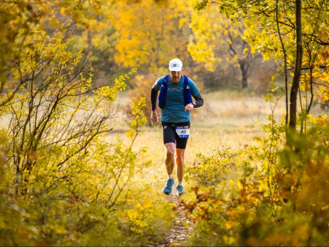
Q: What does the Kernave-Vilnius Trail 82.5km course pass through, and what is the terrain like? | A: The course starts at the UNESCO World Heritage Site of Kernave and runs 82.5km point-to-point to the centre of Vilnius. Approximately 80% passes through dense Lithuanian forest on trails and forest paths; the remaining sections follow the Neris River valley, wild meadows, and small rural settlements. Total elevation gain is approximately 1,573m (GPX figure; external sources cite close to 2,000m). The terrain is predominantly flat-to-rolling with no sustained technical climbing. The Neris River creates the natural geographical corridor between Kernave and Vilnius that the route broadly follows, connecting the ancient and modern capital along the same waterway that linked them historically. GPX files are released to registered runners approximately two weeks before the race.
Why Does the Kernave-Vilnius Trail Start at a UNESCO World Heritage Site — and What Is the History Behind the Kernave Hill Forts?
Q: What is the UNESCO site at Kernave, and why is it the starting point for the race? | A: Kernave is one of Lithuania's most significant archaeological and historical sites -- a UNESCO World Heritage Site comprising the Hill Forts of Kernave, considered the remains of Lithuania's first medieval capital. The site dates to at least the 4th-5th centuries AD and preserves a layering of human settlement from the Stone Age through the medieval period. The hill fort complex on the Neris River bank is among the best-preserved in the Baltic region. Starting an 82.5km run from these ancient mounds and finishing in modern Vilnius creates one of trail running's most resonant narrative arcs: running the distance between the old and new capital of the same country, connected by the same river valley. The race name makes this framing explicit -- Kernave to Vilnius, history to present.
Is the Kernave-Vilnius Trail Worth It — €0.79/km, a 63-Finisher Field, and the Case for Running Lithuania's Most Historically Resonant Ultra?
Q: What are the conditions like at the Kernave-Vilnius Trail in June, and how does Baltic summer daylight affect the race? | A: June 13 in Lithuania brings approximately 17.2 hours of daylight -- sunrise around 4:43 AM and sunset around 9:54 PM. For an 82.5km ultra, this means most runners complete the entire distance in natural light, with the long Baltic evening extending well past any expected finish time. June in Vilnius typically sees highs around 21°C and lows around 11°C -- comfortable running weather. Rain probability is approximately 35%, adding a forest humidity variable on wet days, but conditions are generally favourable. The Lithuanian forest canopy provides shade during the warmest midday hours.
Archivos de carrera
Logística
Aeropuerto más cercano
Vilnius (VNO) / Kaunas (KUN)
Notas
Start: ~1–1.5 hrs to Kernavė from VNO; finish in Vilnius / Public transport: bus options via Vilnius bus station plus local connections; taxi easier for race-morning / Accommodation: very strong in Vilnius; Kernavė limited; book early (June)