Bulgaria · Blagoevgrad Province
Pirin Ultra 68km: la cuarta carrera de trail con menos terreno llano de Europa
Datos clave
Distancia
68 km
Fecha
Precio de inscripción
78 EUR
€ / km
€1.15
Bulgaria’s wildest trail run: big vert, high technicality and long, 2000M altitude traverses in Pirin National Park.
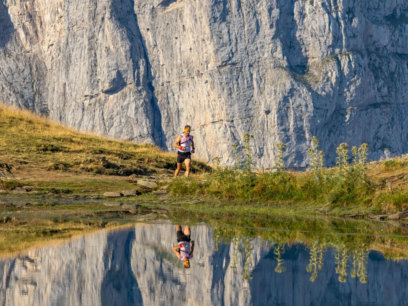
Pirin Ultra 68km is a former Skyrunner World Series trail race held in September in Pirin National Park, Blagoevgrad Province, Bulgaria. The course covers 68 kilometres with 4,400 metres of elevation gain — a very spicy 64.7 metres per kilometre. Entry is €78 standard (€1.15 per kilometre), which makes it extremely affordable. The course is the 4th least flat trail race of 390 European distances tracked - barely 5 kilometres across the 68km distance is considered flat. The glutes and quads will burn on this one ladies and gentlemen. The race opens with a 14.8km, 1,580+ meter climb from Bansko (10.67% average gradient), crossing several ski slopes and traversing several high alpine summits. Among the summits is Vihren at 2,914m — the highest point in the Pirin range and the third-highest peak in Bulgaria. Take a look at the route profile - the course essentially consists of scaling three mountains, with the second major climb a real killer, averaging a 17.91% gradient Bansko is the start and finish; Sofia airport (SOF) is approximately 2 hours 12 minutes away. The race has run annually since 2016. It suits experienced trail athletes seeking a credentialed alpine challenge that doesn´t break the bank in Bulgaria's most demanding national park.
Elevación y Terreno
Metros totales
4,400m
D+/KM
64.7m/km
Como referencia, el circuito Tor des Géants de 330 km tiene 73 D+/km.
Pendiente media de subida
14%
Pendiente media de bajada
-13.1%
Distribución del gradiente de subida
| 2–5% | 5.3 km | |
|---|---|---|
| 5–10% | 8.1 km | |
| 10–15% | 6.5 km | |
| 15–20% | 4.3 km | |
| 20%+ | 6.3 km |
Perfil de ruta
AnalysedDesglose del terreno
| 44.7% | Subida |
|---|---|
| 7.7% | Llano |
| 47.6% | Bajada |
Terreno
Ascensos

Principales ascensos
| Rank | Length | Elevation gain | Start km | Average gradient | Max gradient |
|---|---|---|---|---|---|
| 1 | 14.9 km · 1584 m gain starts km 0 · avg 10.7% · max 59% | ||||
| 2 | 7.9 km · 1408 m gain starts km 27 · avg 17.9% · max 44.3% | ||||
| 3 | 8.2 km · 988 m gain starts km 40 · avg 12.1% · max 62.8% |
Principales descensos
| Rank | Length | Elevation drop | Start km | Average gradient | Max gradient |
|---|---|---|---|---|---|
| 1 | 17.3 km · 1586 m drop starts km 51 · avg -9.1% · max -91.9% | ||||
| 2 | 8.9 km · 1166 m drop starts km 18 · avg -13% · max -49.9% | ||||
| 3 | 6.2 km · 1045 m drop starts km 34 · avg -17% · max -61.8% |
Pirin Ultra 68km: la cuarta carrera de trail con menos terreno llano de Europa
Pirin Ultra 68km is a former Skyrunner World Series trail race held in September in Pirin National Park, Blagoevgrad Province, Bulgaria. The course covers 68 kilometres with 4,400 metres of elevation gain — a very spicy 64.7 metres per kilometre. Entry is €78 standard (€1.15 per kilometre), which makes it extremely affordable.
The course is the 4th least flat trail race of 390 European distances tracked - barely 5 kilometres across the 68km distance is considered flat. The glutes and quads will burn on this one ladies and gentlemen. The race opens with a 14.8km, 1,580+ meter climb from Bansko (10.67% average gradient), crossing several ski slopes and traversing several high alpine summits. Among the summits is Vihren at 2,914m — the highest point in the Pirin range and the third-highest peak in Bulgaria. The course essentially consists of scaling three mountains, with the second major climb a real killer, averaging a 17.91% gradient
Bansko is the start and finish; Sofia airport (SOF) is approximately 2 hours 12 minutes away. The race has run annually since 2016. It suits experienced trail athletes seeking a credentialed alpine challenge that doesn´t break the bank in Bulgaria's most demanding national park.
¿Cuánto cuesta inscribirse en la Pirin Ultra 68km? Precio del dorsal y coste por kilómetro▼
P: ¿Cuánto cuesta inscribirse en la Pirin Ultra 68km? R: El dorsal estándar para 2026 cuesta 78 € hasta el 24 de julio de 2026 y sube a 118 € después de esa fecha. La tarifa inicial equivale a 1,15 €/km. Consulta el precio actualizado en pirinultra.com/registration.
¿Qué dificultad tiene el recorrido de la Pirin Ultra 68K? Subidas, bajadas y pendientes▼
P: ¿Qué dificultad tiene la Pirin Ultra 68K? R: Es muy exigente para su distancia. Los 68km acumulan 4.400m D+, es decir, 64,7m/km, y solo el 7,7 % del recorrido es llano. Ocupa el cuarto puesto entre 390 distancias europeas de la base de datos de DTR por menor porcentaje de terreno llano. La primera subida gana 1.584m en casi 15km y el recorrido alcanza el Vihren, de 2.914m, la cumbre más alta de Pirin y la tercera de Bulgaria.
¿Forma parte la Pirin Ultra 68km de las Skyrunner World Series?▼
P: ¿Forma parte la Pirin Ultra 68km de las Skyrunner World Series? R: Sí. La distancia de 68km, denominada 66K en algunos registros de Skyrunning, forma parte del calendario de las Skyrunner World Series y cuenta con reconocimiento internacional dentro de la comunidad del skyrunning. El evento también aparece en UTMB Index.
Cómo llegar a la Pirin Ultra desde el aeropuerto de Sofía: traslados y logística▼
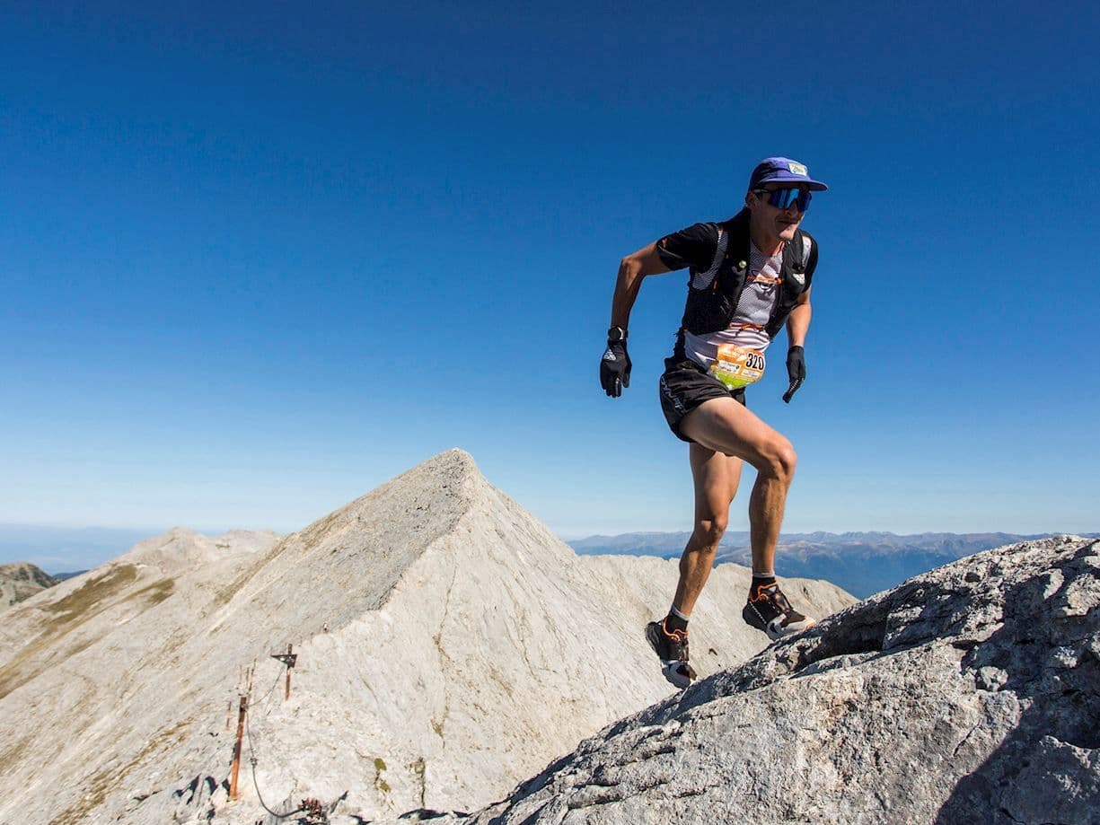
P: ¿Cuál es el punto más alto de la Pirin Ultra 68km? R: El recorrido pasa por el Vihren, de 2.914m, la cima más alta del Parque Nacional de Pirin y la tercera más alta de Bulgaria. También atraviesa la cresta de Koncheto, una arista estrecha y expuesta que constituye uno de los sectores técnicamente más exigentes.
Archivos de carrera
Logística
Aeropuerto más cercano
Sofia (SOF)
Notas
Start: ~2–2.5 hrs by car/bus to Bansko / Public transport: frequent buses Sofia→Bansko; easy town access on foot / Accommodation: strong hotel/apartment supply in Bansko; book early for peak weekends