ESPAÑA · Andalusia (Jaén Province)
Ultra Trail Sierra de Cazorla
Datos clave
Distancia
41 km
Fecha
Precio de inscripción
50 EUR
€ / km
€1.22
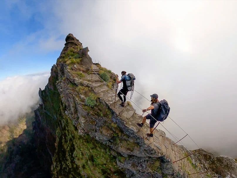
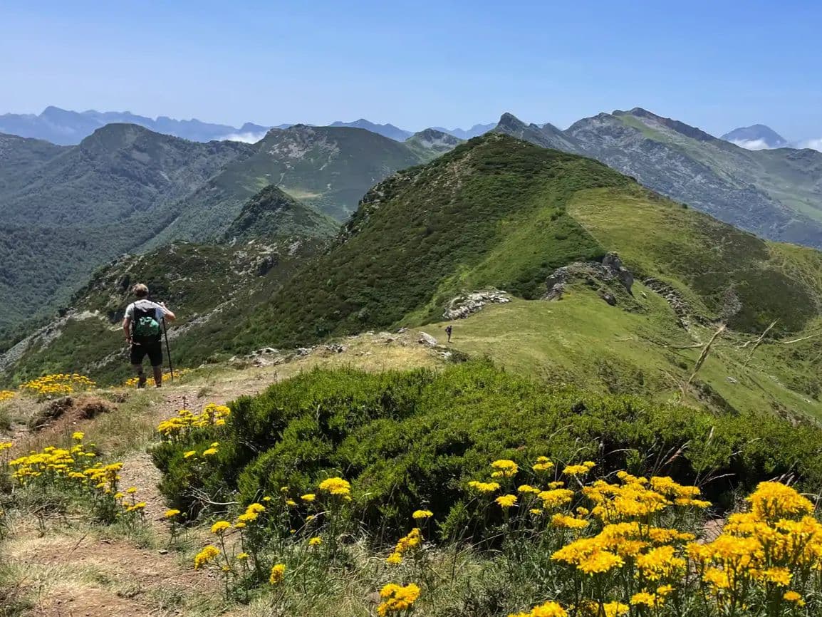
Cazorla’s rugged heart: limestone ridges, pine forests, and a tough 65K in Andalucía’s wilds.
Elevación y Terreno
Metros totales
2,400m
D+/KM
58.5m/km
Como referencia, el circuito Tor des Géants de 330 km tiene 73 D+/km.
Pendiente media de subida
13.7%
Pendiente media de bajada
-13.4%
Distribución del gradiente de subida
| 2–5% | 3.4 km | |
|---|---|---|
| 5–10% | 3.5 km | |
| 10–15% | 3.1 km | |
| 15–20% | 2.6 km | |
| 20%+ | 3.6 km |
Perfil de ruta
AnalysedDesglose del terreno
| 41.3% | Subida |
|---|---|
| 16.7% | Llano |
| 42.1% | Bajada |
Terreno
Ascensos

Principales ascensos
| Rank | Length | Elevation gain | Start km | Average gradient | Max gradient |
|---|---|---|---|---|---|
| 1 | 6.4 km · 821 m gain starts km 1 · avg 12.9% · max 45% | ||||
| 2 | 4.9 km · 469 m gain starts km 13 · avg 9.6% · max 42% | ||||
| 3 | 3.6 km · 444 m gain starts km 22 · avg 12.3% · max 43.1% |
Principales descensos
| Rank | Length | Elevation drop | Start km | Average gradient | Max gradient |
|---|---|---|---|---|---|
| 1 | 5.4 km · 729 m drop starts km 33 · avg -13.4% · max -35.2% | ||||
| 2 | 3.5 km · 555 m drop starts km 26 · avg -16% · max -46.6% | ||||
| 3 | 4.5 km · 369 m drop starts km 18 · avg -8% · max -29.7% |
Archivos de carrera
Logística
Aeropuerto más cercano
Málaga (AGP) / Madrid (MAD) / Granada (GRX)
Notas
Start: ~2.5–3 hrs (AGP) ~3.5–4.5 hrs (MAD) ~1.5–2.5 hrs (GRX) by car to Quesada / Public transport: limited; bus to Jaén/Ubeda + taxi / Accommodation: limited in Quesada; better base in Cazorla/Ubeda—book early

FAR
It’ll possibly take 3+ hours from the closest large airport to arrive. Plan your adventure accordingly, take an extra day for those after-race beers or Curranz.