FINLANDIA · Lapland (Utsjoki area)
Kaldoaivi Ultra Trail 168km: la ultra más septentrional del mundo, analizada
Datos clave
Distancia
168 km
Fecha
Precio de inscripción
279 EUR
€ / km
€1.66
Nueva fecha pendiente
Esta carrera ya ha tenido lugar. La fecha de la próxima edición está pendiente.
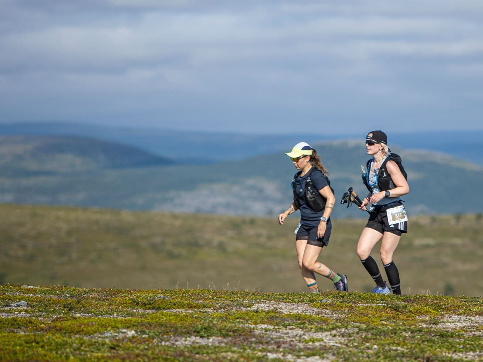
Far-north solitude: endless tundra singletrack, big sky, and true wilderness logistics above the Arctic Circle.
Kaldoaivi Ultra Trail 168 km is a trail race held on July 23–24, 2026, starting from Njallavaara in Utsjoki — Finland's northernmost municipality, above the Arctic Circle — traversing the Kaldoaivi Wilderness Area, Finland's largest and most northerly protected wilderness. The course covers 168 km with 2,450 m of gain (14.6 m/km) across open Arctic tundra, fell plateaus, and three river crossings, with approximately 22 hours of continuous daylight throughout. This is not a mountain race: the DW average uphill gradient is 5.4% and the biggest single climb rises just 188m. The challenge is 168 km of unrelenting forward movement through open wilderness with no shelter, no crowds, and no roads. The 2025 edition had approximately 28 finishers. Entry costs approximately €299 (~€1.78/km at current pricing). Ivalo (IVL) airport is 2.5–3.5 hours by road — accommodation in this remote corner of Finnish Lapland requires early planning. Described as the world's most northern ultra race, it suits self-sufficient ultra runners drawn to extreme solitude, midnight sun conditions, and a race where the wilderness itself is the opponent — not the gradient.
Elevación y Terreno
Metros totales
2,450m
D+/KM
14.6m/km
Como referencia, el circuito Tor des Géants de 330 km tiene 73 D+/km.
Pendiente media de subida
5.4%
Pendiente media de bajada
-5.5%
Distribución del gradiente de subida
| 2–5% | 27.3 km | |
|---|---|---|
| 5–10% | 18.2 km | |
| 10–15% | 3.3 km | |
| 15–20% | 0.7 km | |
| 20%+ | 0 km |
Perfil de ruta
AnalysedDesglose del terreno
| 29.4% | Subida |
|---|---|
| 41.8% | Llano |
| 28.8% | Bajada |
Terreno
Ascensos

Principales ascensos
| Rank | Length | Elevation gain | Start km | Average gradient | Max gradient |
|---|---|---|---|---|---|
| 1 | 1.7 km · 188 m gain starts km 0 · avg 10.8% · max 16.2% | ||||
| 2 | 5.1 km · 183 m gain starts km 68 · avg 3.6% · max 19.1% | ||||
| 3 | 5.8 km · 97 m gain starts km 19 · avg 1.7% · max 11.1% |
Principales descensos
| Rank | Length | Elevation drop | Start km | Average gradient | Max gradient |
|---|---|---|---|---|---|
| 1 | 2.3 km · 217 m drop starts km 162 · avg -9.6% · max -25.9% | ||||
| 2 | 5.1 km · 183 m drop starts km 37 · avg -3.6% · max -22.3% | ||||
| 3 | 7.9 km · 143 m drop starts km 47 · avg -2% · max -13.1% |
Kaldoaivi Ultra Trail 168km: la ultra más septentrional del mundo, analizada
Por qué Kaldoaivi 168km no es una carrera de montaña: 14,6m/km, ninguna gran subida y precisamente ese es el reto▼
P: ¿Qué dificultad tiene la Kaldoaivi Ultra Trail 168km? R: Es exigente de una manera poco habitual. Solo acumula 2.450m D+ en 168km, unos 14,6m/km, con una pendiente media del 5,4 % y sin grandes subidas. La dificultad está en la distancia, la autosuficiencia y el entorno: 168km de tundra abierta, tres cruces de río, poco apoyo, viento y lluvia posibles. En 2025 hubo unos 28 finishers. El sol de medianoche elimina la pausa psicológica de una noche natural.
Perfil del recorrido — 168km de tundra ártica, tres cruces de río y 22 horas de luz▼
P: ¿Cuenta la Kaldoaivi Ultra Trail para ITRA? R: Sí. La distancia de 168km está certificada por ITRA. Conviene revisar las fichas vigentes de ITRA y UTMB Index para conocer puntos y categoría.
Cómo llegar: aeropuerto de Ivalo, logística en la Laponia finlandesa y por qué hay que planificar pronto▼
P: ¿Qué aeropuerto conviene para Kaldoaivi? R: Ivalo (IVL), a unas 2,5-3,5 horas por carretera de Njallavaara. El transporte público es muy limitado; se puede combinar autobús a Utsjoki y taxi, pero es lento. Se recomienda alquilar coche o contratar un traslado. La capacidad hotelera de Utsjoki en julio es muy reducida.
Archivos de carrera
Logística
Aeropuerto más cercano
Ivalo (IVL)
Notas
Start: ~2.5–3.5 hrs drive (depending on exact start/finish) / Public transport: limited; long-distance bus possible to Utsjoki + taxi / Accommodation: sparse in far-north villages; book early and plan transfers carefully

FAR
It’ll possibly take 3+ hours from the closest large airport to arrive. Plan your adventure accordingly, take an extra day for those after-race beers or Curranz.