BULGARIE · Smolyan Province
K3 Ultra
Informations clés
Distance
43 km
Date
Droit d’inscription
62 EUR
€ / km
€1.44
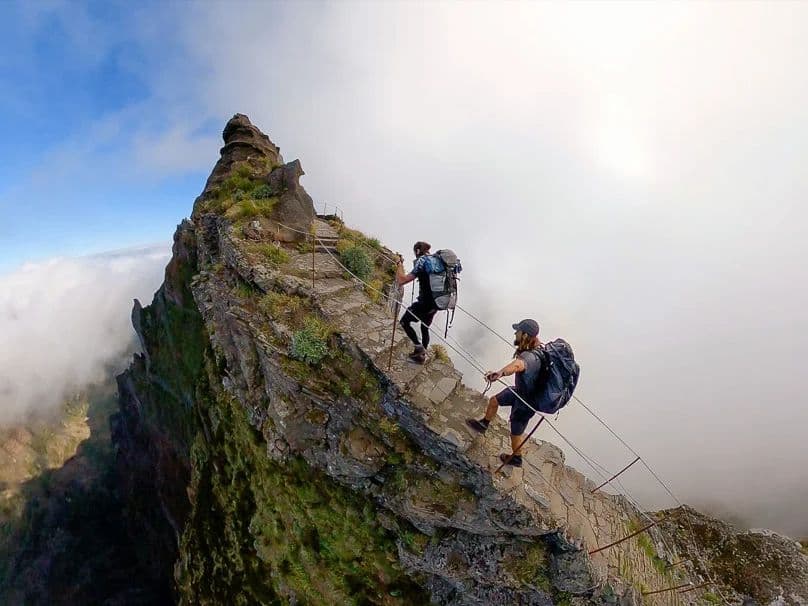
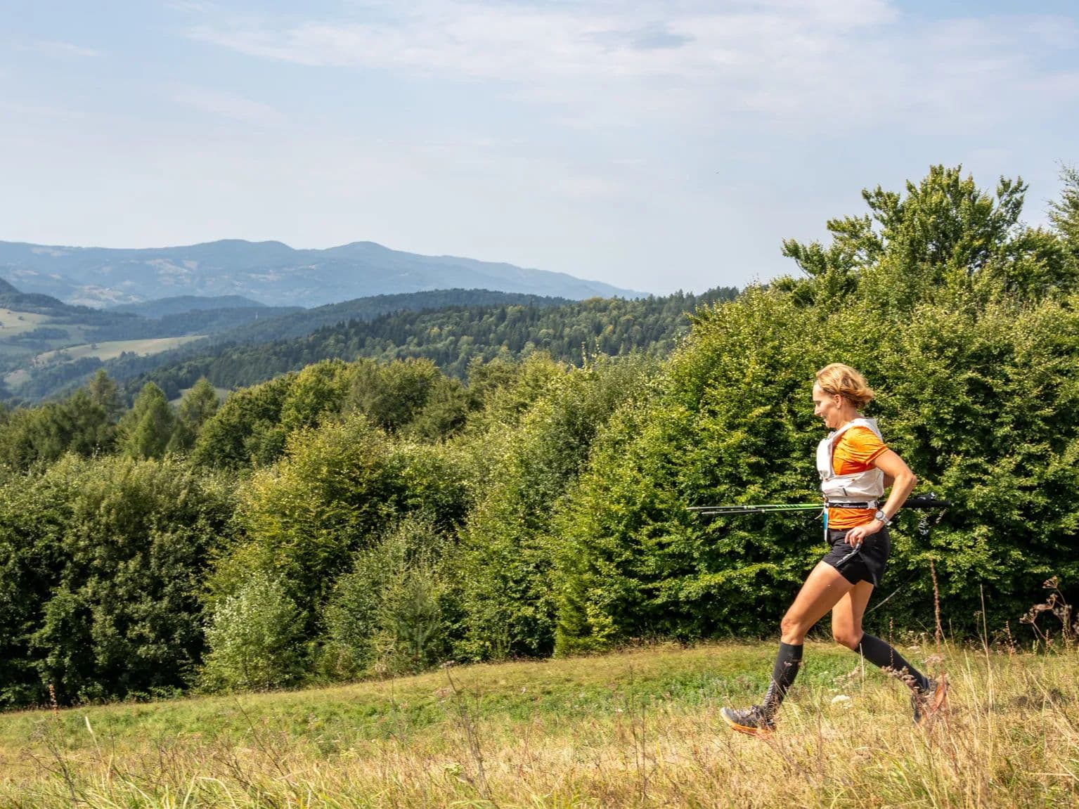
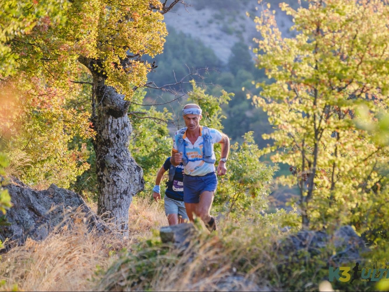
Borderland adventure in the Rhodopes: rugged ridges, remote trails, and a true small-town Bulgarian ultra.
Élévation et Terrain
Mètres totaux
2,500m
D+/KM
58.1m/km
Pour référence, le Tor des Géants 330 km a 73 D+/km.
Pente montante moyenne
11.9%
Pente descendante moyenne
-10.6%
Distribution du gradient de montée
| 2–5% | 3.5 km | |
|---|---|---|
| 5–10% | 4.4 km | |
| 10–15% | 3.2 km | |
| 15–20% | 1.7 km | |
| 20%+ | 2.4 km |
Profil de parcours
AnalysedDétail du terrain
| 36.6% | Montée |
|---|---|
| 17.2% | Plat |
| 46.2% | Descente |
Terrain
Ascensions

Principales montées
| Rank | Length | Elevation gain | Start km | Average gradient | Max gradient |
|---|---|---|---|---|---|
| 1 | 5.3 km · 259 m gain starts km 6 · avg 4.9% · max 32.3% | ||||
| 2 | 4.9 km · 254 m gain starts km 14 · avg 5.2% · max 36.3% | ||||
| 3 | 2.5 km · 229 m gain starts km 2 · avg 9.2% · max 36.3% |
Principales descentes
| Rank | Length | Elevation drop | Start km | Average gradient | Max gradient |
|---|---|---|---|---|---|
| 1 | 7.8 km · 500 m drop starts km 34 · avg -6.4% · max -34.5% | ||||
| 2 | 9.3 km · 406 m drop starts km 24 · avg -4.4% · max -26.5% | ||||
| 3 | 2.1 km · 129 m drop starts km 4 · avg -6% · max -27.3% |
Fichiers de course
Logistique
Aéroport le plus proche
Plovdiv (PDV)
Notes
Start: ~2.5–3.5 hrs drive to Zlatograd / Public transport: limited; bus to Smolyan/Zlatograd area + taxi / Accommodation: small-town hotels/guesthouses; book early (limited inventory)

FAR
It’ll possibly take 3+ hours from the closest large airport to arrive. Plan your adventure accordingly, take an extra day for those after-race beers or Curranz.