NORVÈGE · Buskerud (Numedal / Blefjell)
Blefjells Beste Troll Route: Norway's Most Remote 57km Mountain Loop
Informations clés
Distance
54 km
Date
Droit d’inscription
975 NOK
€ / km
€1.61
Nouvelle date en attente
Cette course a déjà eu lieu. La date de la prochaine édition est en attente.
Norway’s cabin-country ultra: rocky plateaus, remote trails, and old-school mountain grit.
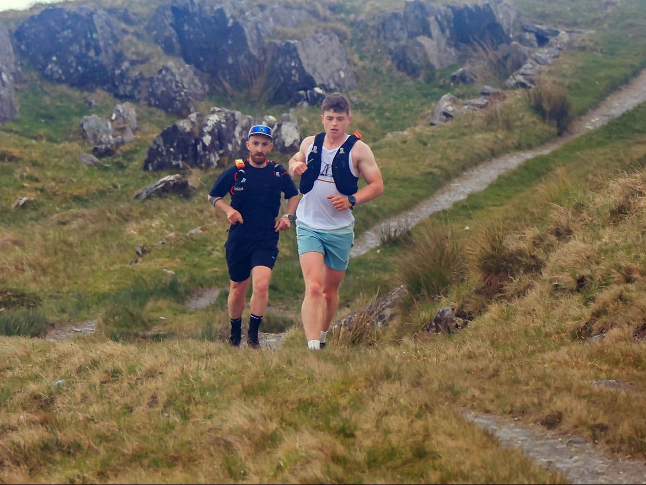
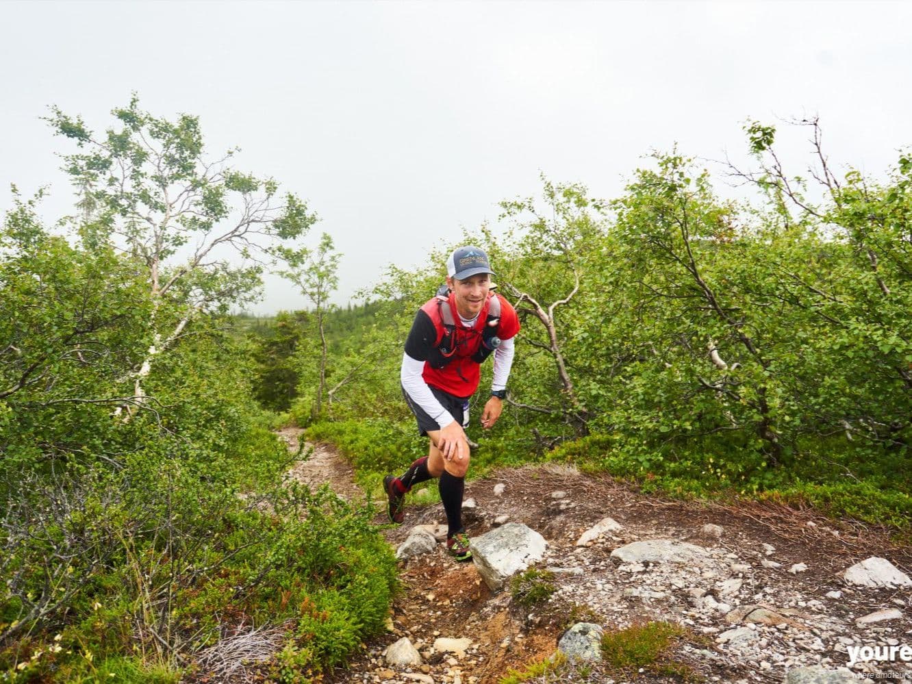
Norway's remote cabin-country ultra for runners who want the mountains without the crowds. Blefjells Beste covers 57km and around 1830–2000m D+ on a loop from private cabin Bestebu on the Blefjell massif in Numedal, Buskerud — no formal aid stations, mandatory gear, and occasional reindeer for company. More than a third of the course follows Nordmannsslepa, the historic T-marked trail spanning the length of Store-Ble, with off-trail moorland and exposed plateau terrain filling the rest. The finale drops through narrow, increasingly steep singletrack that runners describe as flying. Tiny and deliberately so: around 150 starters per year, organized since 2015 by Langt og Lenge volunteers. Entry starts at 975 NOK (roughly 1.5–2€/km), not sold out. ITRA awards 2 points and Mountain Level 3; UTMB Index classifies it as a 50K race. Oslo Airport is approximately 2 hours by car; a race-day shuttle runs from Lampeland. Note: the 2026 Troll route was shortened to 53km — check the official site for updated course data.
Élévation et Terrain
Mètres totaux
2,000m
D+/KM
37.0m/km
Pour référence, le Tor des Géants 330 km a 73 D+/km.
Pente montante moyenne
8.7%
Pente descendante moyenne
-8.5%
Distribution du gradient de montée
| 2–5% | 6.7 km | |
|---|---|---|
| 5–10% | 8.1 km | |
| 10–15% | 3.9 km | |
| 15–20% | 1.9 km | |
| 20%+ | 1.1 km |
Profil de parcours
AnalysedDétail du terrain
| 38.6% | Montée |
|---|---|
| 22.3% | Plat |
| 39.1% | Descente |
Terrain
Ascensions

Principales montées
| Rank | Length | Elevation gain | Start km | Average gradient | Max gradient |
|---|---|---|---|---|---|
| 1 | 7.6 km · 379 m gain starts km 0 · avg 5% · max 27.7% | ||||
| 2 | 2.1 km · 219 m gain starts km 27 · avg 10.6% · max 28.3% | ||||
| 3 | 2.1 km · 189 m gain starts km 22 · avg 8.9% · max 32.5% |
Principales descentes
| Rank | Length | Elevation drop | Start km | Average gradient | Max gradient |
|---|---|---|---|---|---|
| 1 | 7.1 km · 397 m drop starts km 12 · avg -5.6% · max -30.1% | ||||
| 2 | 2.2 km · 260 m drop starts km 38 · avg -11.9% · max -38% | ||||
| 3 | 2 km · 218 m drop starts km 35 · avg -11% · max -33.1% |
Blefjells Beste Troll Route: Norway's Most Remote 57km Mountain Loop
What Is the Course Like on Blefjells Beste's 57km Troll Route?▼
Q: Is Blefjells Beste 57km suitable for first-time ultra runners? A: The 14-hour time limit and relatively gentle average gradient (ranking 304 of ~390 in the DTR database for uphill steepness) make Blefjells Beste physically accessible to experienced trail runners attempting their first ultra — but zero formal aid stations and mandatory gear requirements mean the race is self-sufficient by design. You carry all food and safety equipment for 57km on remote exposed moorland. If you're comfortable navigating Norwegian mountain terrain unsupported, this is a manageable but genuinely wild first ultra.
How Hard Is the Troll Route — Elevation, Gradient, and Self-Sufficiency?▼
Q: What are the entry fees for Blefjells Beste 2026? A: The 57km Troll route registration opened at 975 NOK (approximately 87 EUR), rising to 1200 NOK after 1 March 2026 and 1470 NOK from 22 July 2026. The race was not sold out as of mid-2026. Name transfers cost 150 NOK. At roughly 1.5–2€/km, this is mid-range for a Norwegian mountain ultra with this level of remoteness. Note: the 2026 Troll route was shortened to 53km — entry fee per km may differ on the updated distance.
Who Organizes Blefjells Beste and How Long Has It Been Running?▼
Q: Are there aid stations on Blefjells Beste's Troll route? A: No — ITRA officially records zero aid stations for the Troll route. Every runner carries all their own food, water, and safety equipment for the full 57km. Mandatory gear applies regardless of weather forecast, and the race strictly enforces this: the course crosses remote exposed Blefjell plateau with no infrastructure. This is a defining design choice by organizer Langt og Lenge, not a gap in the event logistics — Blefjells Beste is explicitly a self-sufficient mountain experience.
How Do You Get to Blefjells Beste's Remote Start at Bestebu Cabin?▼
Q: Can you get to Blefjells Beste without a car? A: Yes, but it requires planning. Oslo Airport (OSL) is approximately 2 hours from Lampeland and Flesberg by public transport (check Entur app for connections). The start/finish at Bestebu cabin sits at the end of an 8km dirt mountain road with very limited parking capacity. The race organizes a shuttle bus from Lampeland and Flesberg on race morning — this must be booked and paid for in advance during registration. Overnight accommodation in Lampeland or Flesberg is strongly recommended for runners arriving by public transport.
Fichiers de course
Logistique
Aéroport le plus proche
Oslo (OSL)
Notes
Start: TODO: verify ~2–2.75 hrs drive to Lampeland/Flesberg then ~20–35 min up to Store-Bleveien parking / Public transport: feasible to Lampeland/Flesberg area via Entur routes + race-day bus option; last-mile mountain road parking limited / Accommodation: recommended overnight in Lampeland or Flesberg; local offers in Numedal; book early (limited inventory)