FINLANDE · Lapland (Utsjoki area)
Kaldoaivi Ultra Trail Trailrun 57.8km: The World's Northernmost Ultra Race at 70°N and Rank 372 Gentlest-Climbing European Ultras
Informations clés
Distance
58 km
Date
Droit d’inscription
149 EUR
€ / km
€2.58
Nouvelle date en attente
Cette course a déjà eu lieu. La date de la prochaine édition est en attente.
Far-north solitude: endless tundra singletrack, big sky, and true wilderness logistics above the Arctic Circle.
The Kaldoaivi Ultra Trail Trailrun 57.8km takes place at 70°N in Utsjoki, Finland's northernmost municipality — billed as the world's northernmost ultra race. Official D+ is 570m over 57.8km (9.86 m/km, ranking 360th out of 390 European ultras for climbing density), placing it among the flattest-profiled ultras in the European database. The average uphill gradient ranks 372nd out of 390 — only 18 races have gentler average uphills. The difficulty here is not elevation: competitors cross three major waterways, navigate swampy and rocky wilderness terrain across Finland's largest wilderness area, and summit the highest Lapland fells with views of snow-capped Norwegian mountains at the finish. The route passes the Skalluvaara reindeer round-up area, a site of living Sami cultural heritage. Race date: Saturday July 25, 2026; two start waves (09:00 and 10:00) from Mieraslompolo; finish at Utsjoki. ITRA 2 points. Not sold out; capacity 1,608; €149 entry (2.58 €/km). Nearest airport Ivalo IVL ~161 min.
Élévation et Terrain
Mètres totaux
570m
D+/KM
9.9m/km
Pour référence, le Tor des Géants 330 km a 73 D+/km.
Pente montante moyenne
4.6%
Pente descendante moyenne
-5.1%
Distribution du gradient de montée
| 2–5% | 8.9 km | |
|---|---|---|
| 5–10% | 4.2 km | |
| 10–15% | 0.2 km | |
| 15–20% | 0.1 km | |
| 20%+ | 0 km |
Profil de parcours
AnalysedDétail du terrain
| 23.4% | Montée |
|---|---|
| 53.2% | Plat |
| 23.5% | Descente |
Terrain
Ascensions

Principales montées
| Rank | Length | Elevation gain | Start km | Average gradient | Max gradient |
|---|---|---|---|---|---|
| 1 | 3.1 km · 121 m gain starts km 0 · avg 3.9% · max 10.8% | ||||
| 2 | 3.8 km · 71 m gain starts km 5 · avg 1.9% · max 24.6% | ||||
| 3 | 1.3 km · 65 m gain starts km 40 · avg 5.2% · max 9.6% |
Principales descentes
| Rank | Length | Elevation drop | Start km | Average gradient | Max gradient |
|---|---|---|---|---|---|
| 1 | 2.3 km · 216 m drop starts km 50 · avg -9.6% · max -16.4% | ||||
| 2 | 1.6 km · 65 m drop starts km 23 · avg -4.1% · max -8.6% | ||||
| 3 | 2.1 km · 61 m drop starts km 45 · avg -3% · max -10.5% |
Kaldoaivi Ultra Trail Trailrun 57.8km: The World's Northernmost Ultra Race at 70°N and Rank 372 Gentlest-Climbing European Ultras
Route: Mieraslompolo to Utsjoki — Wilderness Fells, Swamps, and Three Water Crossings▼
Q: What makes the Kaldoaivi Ultra Trail 57.8km challenging if it has so little elevation? A: The course's D+ of 570m (9.86 m/km) ranks 360th out of 390 European ultras — among the flattest-profiled in the database. The challenge is not altitude but wilderness: competitors cross three major waterways without bridges, navigate over 50km of remote Lapland fell terrain including swampy tracks, rocky ground, and boggy moorland, with no road access except at the 39km Skalluvaara aid station. Finland's largest wilderness area does not forgive navigational errors or underestimated gear choices. The course starts with an extremely rocky initial climb from Mieraslompolo before opening into the vast Kaldoaivi fell plateau.
Gradient Profile: Avg Uphill Rank 372/390 and D+/km Rank 360/390 — When Flat Is the Challenge▼
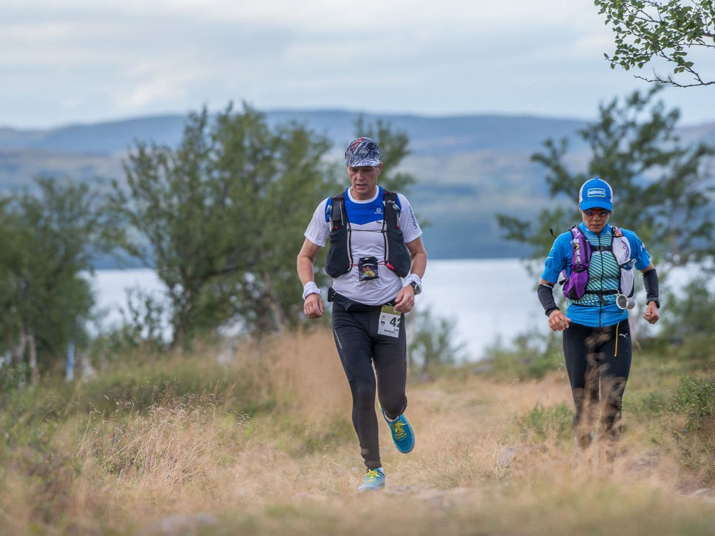
Q: What is the route of the Kaldoaivi Ultra Trail Trailrun 57.8km? A: The race starts from Mieraslompolo and immediately climbs an extremely rocky track to reach the Kaldoaivi Wilderness Area, which covers the remaining 50+ kilometers of the route. The terrain includes moor birches, dry and swampy tracks, rocky grounds, and three major water crossings. At 39km, competitors pass the Skalluvaara reindeer round-up area — a culturally important Sami site and the course's only aid station. The route ends with views of snow-capped Norwegian mountains before the finish at Vapaa-aikakeskus in Utsjoki. Drinking water can be collected directly from streams throughout: Finland's wilderness water is among the cleanest in the world. Point-to-point from Mieraslompolo to Utsjoki.
ITRA 2 Points, Sami Cultural Heritage, and the Skalluvaara Reindeer Round-Up Area▼
Q: Is the Kaldoaivi Ultra Trail 57.8km an ITRA or UTMB qualifying race? A: Yes, ITRA certified with 2 points. ITRA page: itra.run/Races/RaceDetails/116983. UTMB Index status for the 57.8km distance should be verified on utmb.world before publishing qualifying status claims. The 168km distance is confirmed on ITRA (race page: itra.run/Races/RaceDetails/109920). The official race site acknowledges ITRA partnership; the site also references UTMB at kaldoaiviultratrail.fi/en/itra-utmb/ — verify for 57.8km specifically.
Race Logistics: July 25, 2026, Dual Start Waves, Mandatory Gear, and Competitor Transport▼
Q: What are the start times and cutoffs for the Kaldoaivi Ultra Trail 57.8km? A: The Trailrun 57km has two start waves on Saturday July 25, 2026: Start 1 at 09:00 AM from Mieraslompolo (time limit 13 hours; finish deadline 22:00) and Start 2 at 10:00 AM (time limit 12 hours; same 22:00 deadline). Race numbers are distributed at the start from 09:00-09:30. Competitor transport departs Monitoimitalo Utsjoki (Utsjoentie 44) at 08:50 for the Trailrun 57km. Mandatory equipment check applies; the compulsory equipment list is published at kaldoaiviultratrail.fi/en/compulsory/. The 2026 edition runs July 23-25. Registration is open; capacity 1,608; entry €149 (2.58 €/km AUTO). Not sold out.
Fichiers de course
Logistique
Aéroport le plus proche
Ivalo (IVL)
Notes
Start: ~2.5–3.5 hrs drive (depending on exact start/finish) / Public transport: limited; long-distance bus possible to Utsjoki + taxi / Accommodation: sparse in far-north villages; book early and plan transfers carefully

FAR
It’ll possibly take 3+ hours from the closest large airport to arrive. Plan your adventure accordingly, take an extra day for those after-race beers or Curranz.