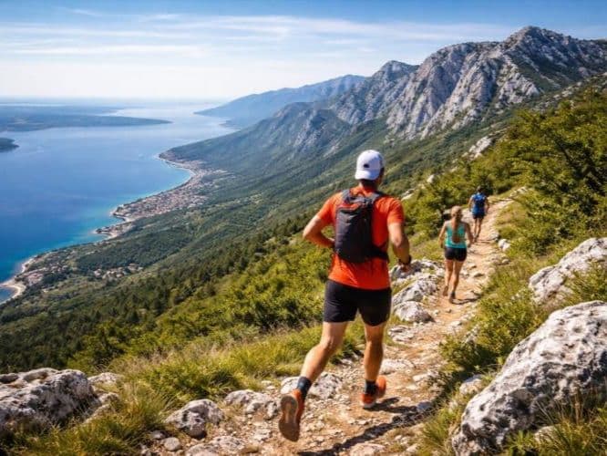
Montenegro · Bjelasica Mountains
Bjelasica Trail
Distance
45 km
Date
August 8, 2026
Entry fee
45 EUR
€ / km
€1.00
Balkan highlands: long climbs into Bjelasica’s wild terrain with a quiet, authentic vibe.
Elevation and Terrain
Total Meters
2300m
D+/KM
51.11m/km
For context, the Tor des Géants 330 loop has 73 D+/km.
Avg Uphill Gradient
13.9%
Avg Downhill Gradient
-12.6%
Uphill gradient distribution
Route Profile
Analysed 2026-05-01Terrain breakdown
Terrain
Climbs

Top climbs
11.4 km · 847 m gain
starts km 3 · avg 7.4% · max 39.6%
2.5 km · 567 m gain
starts km 28 · avg 22.5% · max 49.6%
2.4 km · 344 m gain
starts km 0 · avg 14.3% · max 32.5%
Top descents
9.8 km · 683 m drop
starts km 35 · avg -7.0% · max -37.9%
6.8 km · 645 m drop
starts km 22 · avg -9.4% · max -74.5%
2.2 km · 132 m drop
starts km 31 · avg -6.0% · max -30.4%
Race files
Logistics
Nearest airport
Podgorica (TGD) / Tivat (TIV)
Notes
Start: ~1.5–2.5 hrs (TGD) or ~3–4 hrs (TIV) to Kolašin (race base and start per ITRA) / Public transport: trains/buses to Kolašin possible; taxi last-mile / Accommodation: limited in Kolašin; book early (August)
FAR
It’ll possibly take 3+ hours from the closest large airport to arrive. Plan your adventure accordingly, take an extra day for those after-race beers or Curranz.