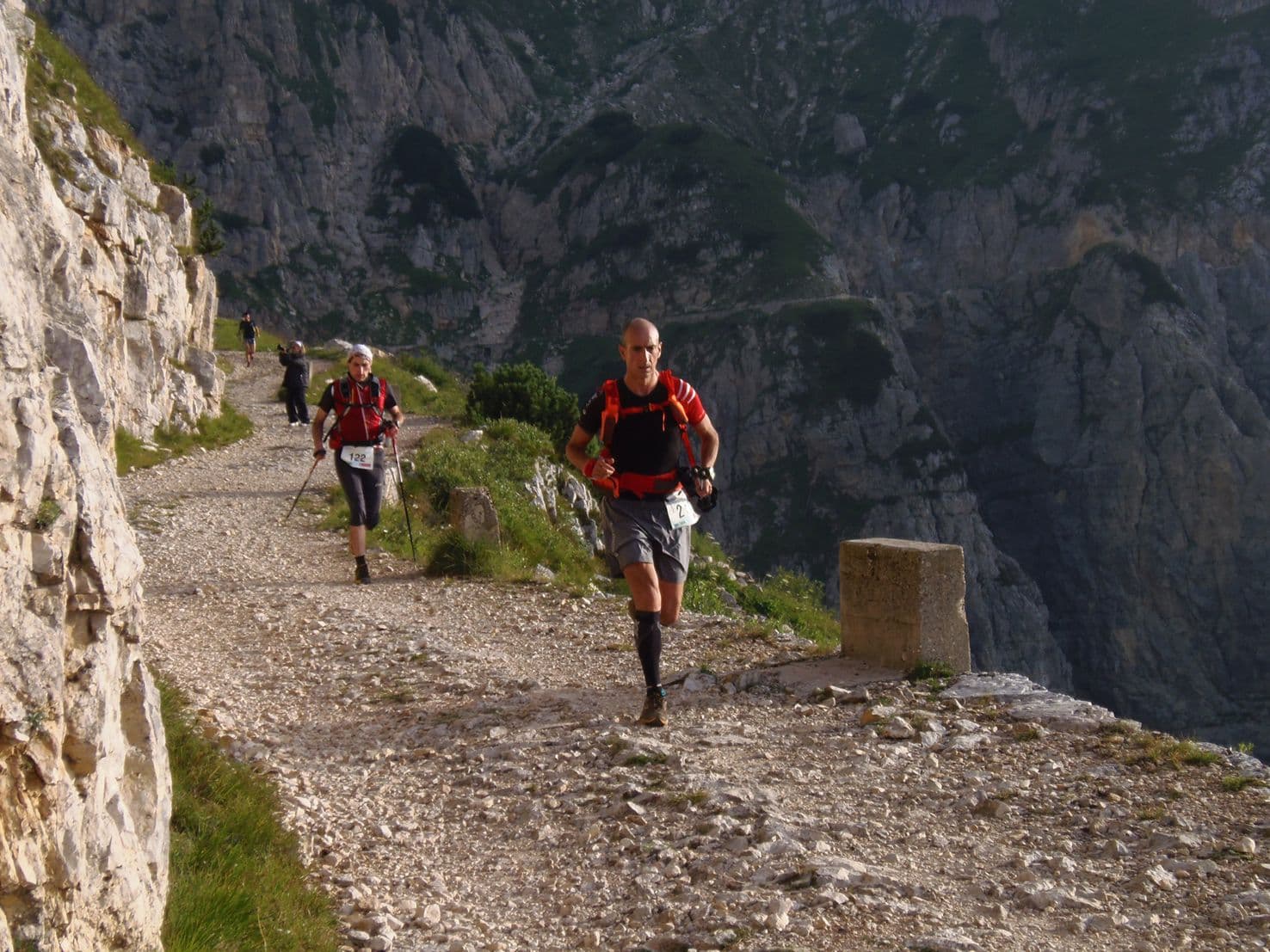
Italy · Lombardy
Adamello Ultra Trail
Distance
164.92 km
Date
September 24, 2026
Entry fee
220 EUR
€ / km
€1.33
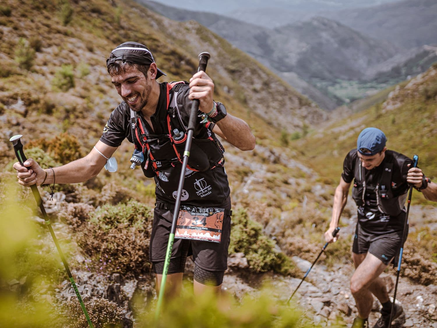
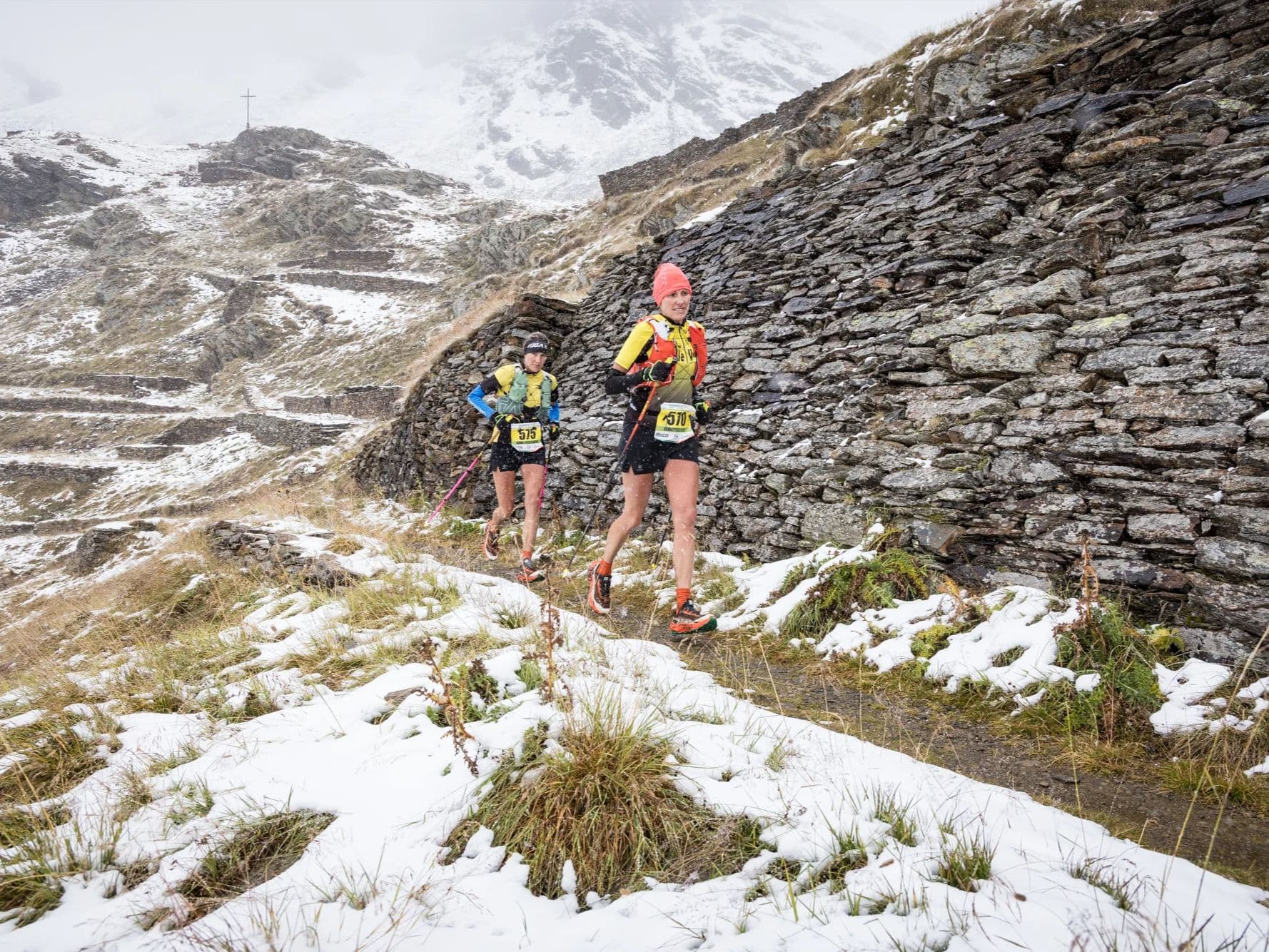
High-altitude Italian beast: alpine passes, big vert, and rugged terrain in the shadow of glaciers.
Elevation and Terrain
Total Meters
11762m
D+/KM
71.32m/km
For context, the Tor des Géants 330 loop has 73 D+/km.
Avg Uphill Gradient
14.7%
Avg Downhill Gradient
-14.2%
Uphill gradient distribution
Route Profile
Analysed 2026-05-01Terrain breakdown
Terrain
Climbs

Top climbs
10.3 km · 1410 m gain
starts km 0 · avg 13.7% · max 49.3%
6.5 km · 1010 m gain
starts km 122 · avg 15.5% · max 68.8%
6.2 km · 882 m gain
starts km 91 · avg 14.3% · max 43.7%
Top descents
9.3 km · 1140 m drop
starts km 143 · avg -12.3% · max -54.9%
11.4 km · 865 m drop
starts km 60 · avg -7.6% · max -44.3%
6.3 km · 842 m drop
starts km 102 · avg -13.0% · max -39.4%
Why the Adamello Ultra Trail Belongs Alongside TOR330 in the Gradient Database (71.3m/km, 14.67% Average Uphill)
Q: How hard is the Adamello Ultra Trail 165km? A: Extremely hard. The course covers approximately 165km with 11,762m of gain (71.3 m/km — in the same tier as the Tor des Géants). The opening climb begins at km 0.06 and gains 1,410m over 10.3km — ranked 30th of 385 GPX-analysed distances in the DTR database. The 14.67% DW average uphill gradient places the race in the top 1–3% of the database. There are 16.5km of 20%+ gradient terrain and a 54-hour cutoff.
The Hidden Alpine Challenge of September: Why the Adamello Ultra Trail Flies Under the Radar
Q: Is the Adamello Ultra Trail a UTMB qualifier? A: The race appears in the UTMB Index (2023 listing confirmed in research). Check utmb.world for the current 2026 point value and qualifying category.
Getting There: Milan Bergamo, Valle Camonica, and Why This Race Is Worth the Drive
Q: Which airport should I use for the Adamello Ultra Trail? A: Milan Bergamo (BGY), Verona (VRN), and Milan Malpensa (MXP) are all viable at approximately 2.5–4 hours by road to Vezza d'Oglio. A rental car is strongly recommended — public transport is limited. Accommodation in Ponte di Legno and Temù books out early for late September.
Race files
Logistics
Nearest airport
Milan Bergamo (BGY) / Verona (VRN) / Milan Malpensa (MXP)
Notes
Start: ~2.5–4 hrs to Ponte di Legno/Temù area (route-dependent) / Public transport: limited; train to Brescia + bus/taxi to Valle Camonica / Accommodation: good in ski towns but seasonal—book early
FAR
It’ll possibly take 3+ hours from the closest large airport to arrive. Plan your adventure accordingly, take an extra day for those after-race beers or Curranz.