Italy · Lombardy
Distance
165 km
Date
Entry fee
€220
€ / km
€1.33
Adamello Ultra Trail 165km: Italy's Most Underrated High-Alpine Race, Measured
Adamello Ultra Trail (AUT) is a high-alpine race officially listed as 170km, held in late September 2026, starting and finishing in Vezza d'Oglio in the Adamello massif, Lombardy, Italy. The course covers 165km with 11,762m of gain (71.3 m/km) — in the same elite elevation-density tier as the Tor des Géants (72.7 m/km). Only 11.2% of the course is flat.
The opening climb starts at km 0.06: 10.3km gaining 1,410m at 13.7% average — ranked 30th of 385 GPX-analysed distances in the DTR database. A 54-hour cutoff, 16.5km of 20%+ gradient terrain, and a 14.7% DW avg uphill complete the picture. Entry costs €220 before June 30, rising to €240 from July 1 (€1.33/km). Milan Bergamo (BGY) is 2.5–4 hours by road. Founded in 2014, 12th edition in 2026, with 1,000+ participants across all distances in 2025 from 34 countries. Men's CR: Simon Krautloher 22:27:36. It suits highly experienced mountain ultra runners prepared for near-continuous technical alpine terrain across a 54-hour cutoff.
Elevation and Terrain
Total Meters
11,762m
D+/KM
71.3m/km
For context, the Tor des Géants 330 loop has 73 D+/km.
Avg Uphill Gradient
14.7%
Avg Downhill Gradient
-14.2%
Uphill gradient distribution
| 2–5% | 10.5 km | |
|---|---|---|
| 5–10% | 14.9 km | |
| 10–15% | 13.4 km | |
| 15–20% | 11.5 km | |
| 20%+ | 16.5 km |
Route Profile
AnalysedTerrain breakdown
| 43.7% | Uphill |
|---|---|
| 11.2% | Flat |
| 45.1% | Downhill |
Terrain
Adamello Ultra Trail – 164.92 km 165km Top Climbs
Top Climbs
| 1 | 10.3 km · 1,410 m gain starts km 0 · avg 13.7% · max 49.3% |
|---|---|
| 2 | 6.5 km · 1,010 m gain starts km 122 · avg 15.5% · max 68.8% |
| 3 | 6.2 km · 882 m gain starts km 91 · avg 14.3% · max 43.7% |
Top descents
| 1 | 9.3 km · 1,140 m drop starts km 143 · avg -12.2% · max -54.8% |
|---|---|
| 2 | 11.4 km · 865 m drop starts km 60 · avg -7.6% · max -44.3% |
| 3 | 6.3 km · 842 m drop starts km 102 · avg -13.0% · max -39.3% |
Adamello Ultra Trail 165km Difficulty
How hard is the Adamello Ultra Trail 165km?
▼
Extremely hard. The course covers approximately 165km with 11,762m of gain (71.3 m/km, in the same tier as the Tor des Géants). The opening climb begins at km 0.06 and gains 1,410m over 10.3km. Adamello Ultra Trail 165K terrain consists of rocky ridgelines, narrow alpine passes, and boulder fields.
Is the Adamello Ultra Trail a UTMB Qualifier?
Is the Adamello Ultra Trail a UTMB Qualifier?▼
The race appears in the UTMB Index (2023 listing confirmed in research). Check utmb.world for the current 2026 point value and qualifying category.
Getting There: Milan Bergamo, Valle Camonica, and Why This Race Is Worth the Drive
Which airport should I use for the Adamello Ultra Trail?
▼
Milan Bergamo (BGY), Verona (VRN), and Milan Malpensa (MXP) are all viable at approximately 2.5–4 hours by road to Vezza d'Oglio. A rental car is strongly recommended, public transport is limited. Accommodation in Ponte di Legno and Temù books out early for late September.
Adamello Ultra Trail 165km Entry Fees and Registration Costs
How much does it cost to enter the Adamello Ultra Trail 165km?
▼
€220 before June 30, rising to €240 from July 1 (~€1.33/km). The 2026 registration link is live, the early pricing window closes imminently. Register via Datasport.
Weather and Climate: Possible Snow Hazards?
Weather and Climate: Possible Snow Hazards?▼
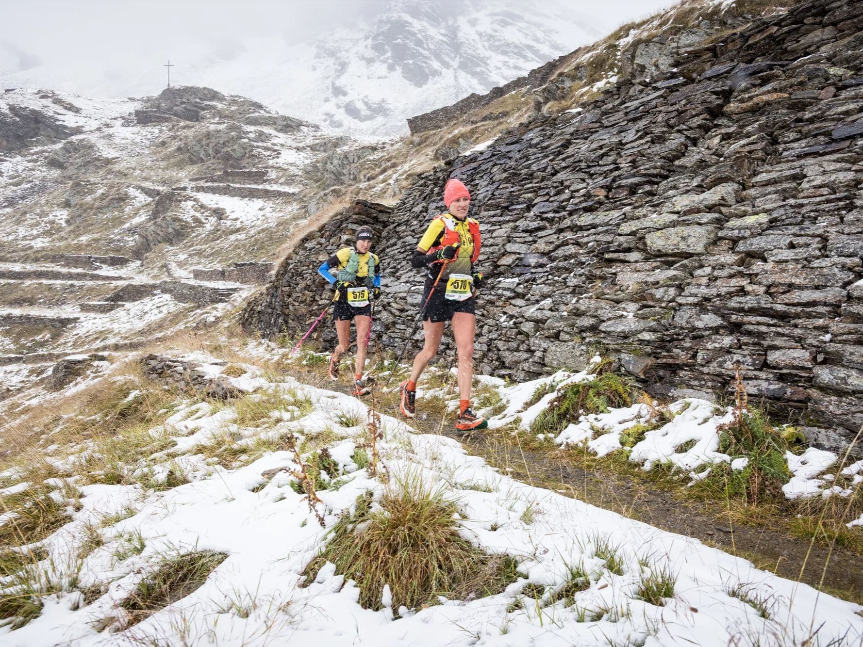
During late September, weather conditions for the Adamello Ultra Trail in the Italian Alps involves lower-elevation temperatures ranging from 5°C to 20°C. The high mountain passes shows potential snow hazards. Overnight conditions and higher altitudes above 3,000 meters could drop below 0°C.
Adamello Ultra Trail – 164.92 km 165km GPX
Getting to Adamello Ultra Trail – 164.92 km
Nearest airport
Milan Bergamo (BGY) / Verona (VRN) / Milan Malpensa (MXP)
Notes
Start: ~2.5–4 hrs to Ponte di Legno/Temù area (route-dependent) / Public transport: limited; train to Brescia + bus/taxi to Valle Camonica / Accommodation: good in ski towns but seasonal—book early

FAR
It’ll possibly take 3+ hours from the closest large airport to arrive. Plan your adventure accordingly, take an extra day for those after-race beers or Curranz.