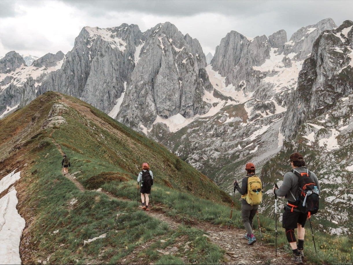
United Kingdom · Wales
Beacons Way Ultra
Distance
99.78 km
Date
July 25, 2026
Entry fee
119 GBP
€ / km
€1.37
Wales in full: big Brecon climbs, wild weather, and a long point-to-point that rewards stubborn legs.
Elevation and Terrain
Total Meters
3178m
D+/KM
31.85m/km
For context, the Tor des Géants 330 loop has 73 D+/km.
Avg Uphill Gradient
9.0%
Avg Downhill Gradient
-10.1%
Uphill gradient distribution
Route Profile
Analysed 2026-05-01Terrain breakdown
Terrain
Climbs

Top climbs
4.8 km · 546 m gain
starts km 48 · avg 11.4% · max 38.8%
7.8 km · 438 m gain
starts km 8 · avg 5.6% · max 46.0%
4.1 km · 437 m gain
starts km 62 · avg 10.5% · max 27.2%
Top descents
4.3 km · 497 m drop
starts km 56 · avg -11.5% · max -32.0%
3.1 km · 445 m drop
starts km 20 · avg -14.6% · max -30.4%
4.2 km · 318 m drop
starts km 41 · avg -8.0% · max -22.1%
Race files
Logistics
Nearest airport
Cardiff (CWL) / Bristol (BRS) / Birmingham (BHX)
Notes
Start: ~1–2.25 hrs (CWL/BRS) or ~2–3.5 hrs (BHX) to Brecon / Abergavenny area (route depends; TODO: verify start/finish) / Public transport: trains to Abergavenny/Merthyr Tydfil + bus/taxi; car easiest / Accommodation: limited in small towns; book early (summer)