Switzerland · Canton of Bern (Jura)
Trail du Jura Bernois
Distance
45 km
Date
September 25, 2026
Entry fee
65 EUR
€ / km
€1.44
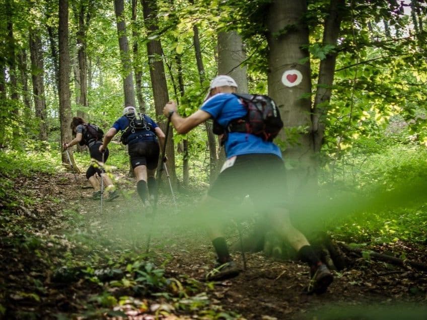
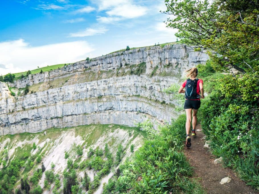
Jura ridgeline running: rolling climbs, forest singletrack, and pure Swiss countryside.
Elevation and Terrain
Total Meters
2065m
D+/KM
45.89m/km
For context, the Tor des Géants 330 loop has 73 D+/km.
Avg Uphill Gradient
10.1%
Avg Downhill Gradient
-11.1%
Uphill gradient distribution
Route Profile
Analysed 2026-05-02Terrain breakdown
Terrain
Climbs

Top climbs
7.9 km · 644 m gain
starts km 6 · avg 8.2% · max 52.8%
6.4 km · 514 m gain
starts km 28 · avg 8.0% · max 38.2%
5.5 km · 316 m gain
starts km 15 · avg 5.8% · max 27.1%
Top descents
8.0 km · 865 m drop
starts km 20 · avg -10.8% · max -71.2%
4.1 km · 439 m drop
starts km 2 · avg -10.7% · max -30.4%
2.6 km · 185 m drop
starts km 42 · avg -7.0% · max -25.5%
Race files
Logistics
Nearest airport
Basel (BSL) / Geneva (GVA) / Bern (BRN)
Notes
Start: ~1–2.5 hrs to Tramelan (Bernese Jura) by train+taxi / Public transport: good to Biel/Bienne then local / Accommodation: limited in Tramelan; better in Biel/La Chaux-de-Fonds