Estonia · Ida-Viru County
EUTR Estonia Ultra-Trail Race
Distance
132.3 km
Date
June 27, 2026
Entry fee
195 EUR
€ / km
€1.47
New date pending
This race has already occurred. A new date for next year’s edition is pending.
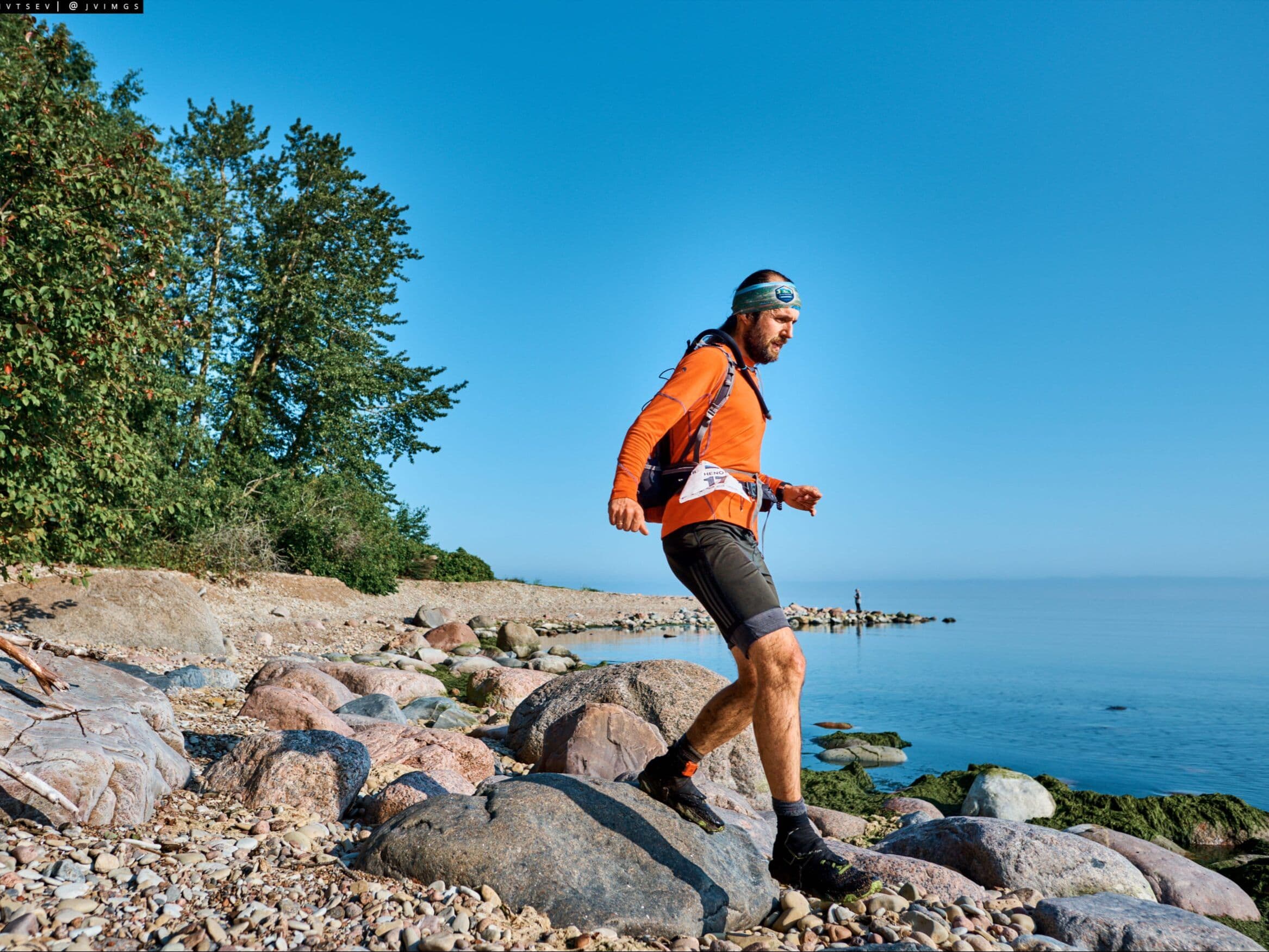
Baltic wilderness stage feel: long forest sections, quiet trails, and a true endurance test in Estonia.
Elevation and Terrain
Total Meters
640m
D+/KM
4.84m/km
For context, the Tor des Géants 330 loop has 73 D+/km.
Avg Uphill Gradient
3.9%
Avg Downhill Gradient
-3.8%
Uphill gradient distribution
Route Profile
Analysed 2026-05-02Terrain breakdown
Terrain
Climbs

Top climbs
2.3 km · 27 m gain
starts km 48 · avg 1.2% · max 12.9%
4.6 km · 24 m gain
starts km 22 · avg 0.5% · max 12.0%
Top descents
2.1 km · 26 m drop
starts km 12 · avg -1.2% · max -12.4%
4.6 km · 23 m drop
starts km 36 · avg -0.5% · max -11.3%
1.0 km · 21 m drop
starts km 50 · avg -2.0% · max -8.1%
Course Profile — Long Estonian Forest, the Narva River Border, and a Race That Asks for Pace, Not Climbing
Q: How many ITRA points does the EUTR Estonia Ultra-Trail Race 132km award? | A: The 132km Ultra-Trail distance awards 4 ITRA qualification points. The race is ITRA certified. Verify the 2026 allocation at the ITRA listing before registering, as point values can change between editions.
€1.47/km for 4 ITRA Points in the Baltic: What the EUTR Estonia Ultra-Trail Race Costs (and How to Avoid the €9 Card Fee)
Q: Is the EUTR Estonia Ultra-Trail Race 2026 sold out? | A: Effectively yes — approximately 4 bibs were remaining for the ~25-person field as of May 2026. Check the registration page at eut.trailrunning.ee for current availability. Note: a €9 card payment fee applies via Maksekeskus for VISA/MASTERCARD payments; direct bank transfer avoids this charge.
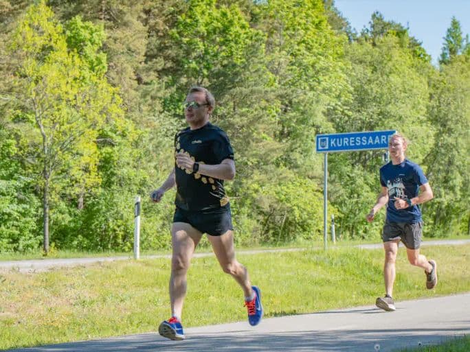
Getting to the EUTR Estonia Ultra-Trail Race: Tallinn (TLL), Narva, and Why the Bus Changes the Logistics
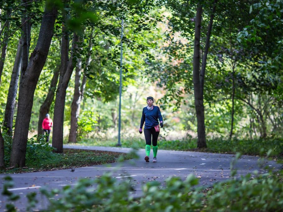
Q: What are the race conditions for the EUTR Estonia Ultra-Trail Race? | A: The 2026 edition runs on June 27 — a shift from the historical August start dates. June in Narva offers ~17–18 hours of daylight; most runners will complete the 19-hour race in near-continuous light. Average temperatures are 10–19°C. The terrain is flat Estonian forest throughout; conditions are temperate. The 2025 winner (8th edition, August) completed the course in 16h41m — indicating even fast runners approach the time limit on this course.
Who Should Run the EUTR Estonia Ultra-Trail Race 132km?
Q: How hard is the EUTR Estonia Ultra-Trail Race 132km? | A: Uniquely demanding: the challenge is distance, not gradient. The 132.3km course gains just 640m (~4.84m/km) with 65.9% flat terrain and distance-weighted average gradients of 3.91% uphill and 3.84% downhill — among the most runnable profiles of any 130km+ race in the DTR database. There are no significant climbs or technical sections. The race demands running economy, pacing discipline, and the ability to sustain forward movement for up to 19 hours.
Race files
Logistics
Nearest airport
Tallinn (TLL)
Notes
Start: ~2.5–3.5 hrs drive or bus to Narva (Äkkeküla Sports Center; TODO: verify exact venue) / Public transport: frequent buses Tallinn↔Narva; train also possible / Accommodation: good city supply in Narva; book early for race week
FAR
It’ll possibly take 3+ hours from the closest large airport to arrive. Plan your adventure accordingly, take an extra day for those after-race beers or Curranz.