Austria · Tyrol
"Kaiserkrone Trail "
Distance
56.1 km
Date
June 27, 2026
Entry fee
89 EUR
€ / km
€1.59
New date pending
This race has already occurred. A new date for next year’s edition is pending.
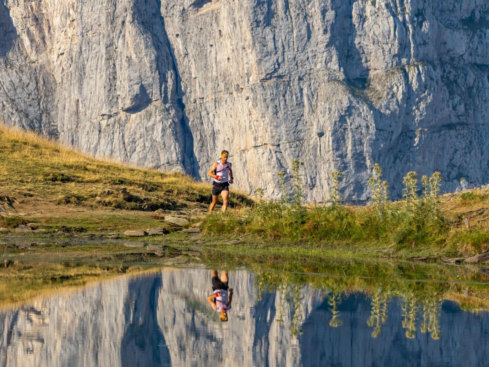
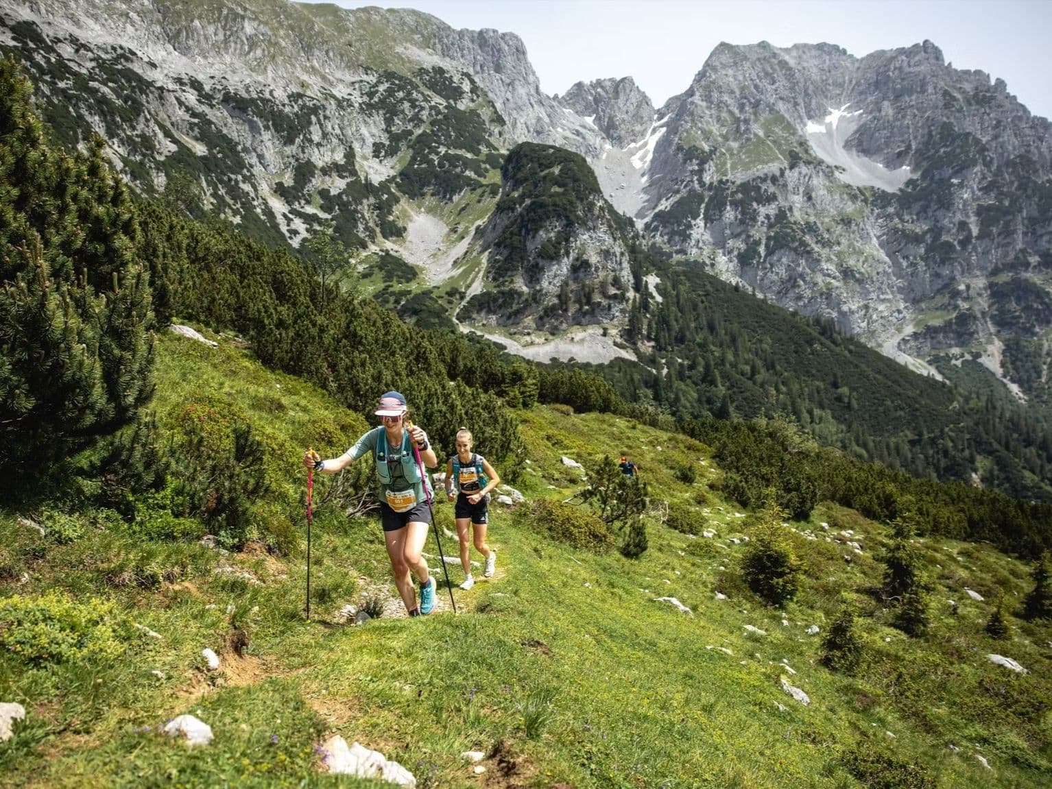
Kaiser Mountains drama: jagged limestone, punchy climbs, and postcard singletrack around Ellmau/Scheffau.
Elevation and Terrain
Total Meters
3930m
D+/KM
70.05m/km
For context, the Tor des Géants 330 loop has 73 D+/km.
Avg Uphill Gradient
15.5%
Avg Downhill Gradient
-16.3%
Uphill gradient distribution
Route Profile
Analysed 2026-05-02Terrain breakdown
Terrain
Climbs

Top climbs
3.8 km · 1095 m gain
starts km 33 · avg 29.2% · max 92.6%
2.3 km · 760 m gain
starts km 45 · avg 32.5% · max 142.7%
3.8 km · 721 m gain
starts km 101 · avg 19.2% · max 48.0%
Top descents
6.4 km · 1314 m drop
starts km 47 · avg -20.5% · max -102.7%
4.5 km · 1172 m drop
starts km 37 · avg -26.2% · max -79.9%
5.9 km · 874 m drop
starts km 15 · avg -15.0% · max -63.6%
Course Profile — Circumnavigating the Kaisergebirge: Stripsenjochhaus, Hintersteinersee, and ~65 m/km
Q: Is the Kaiserkrone Trail a UTMB qualifier? | A: Yes — both the Kaiserkrone Ultra 56k and the Kaiserkrone Skyrace carry UTMB Index status. Check kaiserkrone.run or the UTMB Index for current point values and qualifying details.
€1.76 per Kilometre for a UTMB Index Qualifier in the Austrian Alps
Q: When does the 2026 Kaiserkrone Trail take place? | A: Race weekend is June 26–27, 2026, in Scheffau am Wilden Kaiser, Tyrol. The Ultra 56k runs on June 27. Start and finish are in the village centre at the Scheffau Dorf bus stop.
Getting to the Kaiserkrone Trail: Innsbruck, Salzburg, Munich, and the Train to Kufstein
Q: Is the Kaiserkrone Trail 56km sold out for 2026? | A: No — 76 slots remained as of February 2026, with no subsequent sell-out update. Check kaiserkrone.run or time2win.at for current availability.
Who Should Run the Kaiserkrone Trail 56km?
Q: Which airport should I use for the Kaiserkrone Trail? | A: Innsbruck (INN) and Salzburg (SZG) are both approximately 71 minutes by road — the closest options. Munich (MUC) is around 1.5–2 hours. Public transport via train to Kufstein, then bus or taxi to Scheffau am Wilden Kaiser, is also viable.
Race files
Logistics
Nearest airport
Innsbruck (INN) / Salzburg (SZG) / Munich (MUC)
Notes
Start: INN ~1 hr; SZG ~1 hr; MUC ~1.5–2 hrs / Public transport: Train to Kufstein + bus/taxi; car easier / Accommodation: Strong (Kaiser region)