Spain · Canary Islands
Tenerife Blue Trail
Distance
110 km
Date
March 21, 2026
Entry fee
190 EUR
€ / km
€1.73
New date pending
This race has already occurred. A new date for next year’s edition is pending.
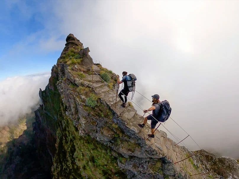
Running in the clouds: huge volcanic climbs, high altitude, and epic island views end to end.
Elevation and Terrain
Total Meters
6250m
D+/KM
56.82m/km
For context, the Tor des Géants 330 loop has 73 D+/km.
Avg Uphill Gradient
13.3%
Avg Downhill Gradient
-14.1%
Uphill gradient distribution
Route Profile
Analysed 2026-05-02Terrain breakdown
Terrain
Climbs

Top climbs
11.7 km · 1398 m gain
starts km 49 · avg 12.0% · max 35.8%
10.7 km · 1054 m gain
starts km 34 · avg 9.8% · max 41.3%
13.7 km · 961 m gain
starts km 3 · avg 7.0% · max 45.1%
Top descents
17.4 km · 1650 m drop
starts km 73 · avg -9.5% · max -52.5%
12.2 km · 1461 m drop
starts km 60 · avg -12.0% · max -36.9%
7.6 km · 996 m drop
starts km 92 · avg -13.0% · max -66.1%
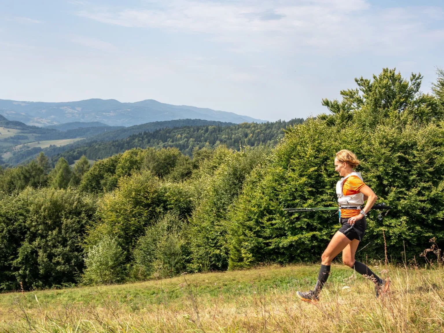
Why Tenerife Blue Trail 110K Is One of Europe's Steepest Island Ultras: 13.33% Average Uphill
Q: How hard is the Tenerife Blue Trail 110K? A: One of Europe's most demanding volcanic island ultras. Average uphill gradient 13.33% estimated top ~10% DTR database; biggest descent drops 1,650m over 17.43km. High-altitude section (59–72km, 3,000–3,350m) slows most runners dramatically. The 25°C temperature swing — ~18°C beach start to −5°C Teide to ~20°C finish — demands careful kit management across the 27-hour window.
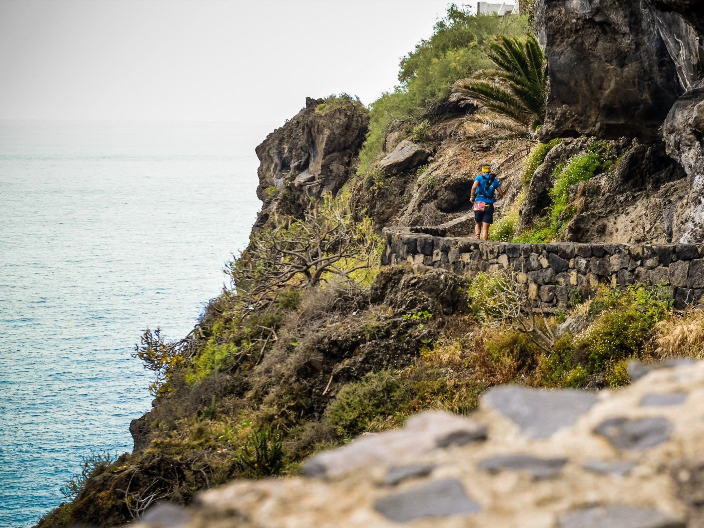
Course Profile — Beach to Teide to Coast: 5 Biomes, 25°C Temperature Swing, and the Sea of Clouds
Q: Does Tenerife Blue Trail sell out? A: Yes — all three distances (110K, 73K, 47K) confirmed sold out. Registration opens in June via UTMB platform; UTMB Index holders get priority access from June 25, general from June 27.
6 ITRA Points, Sold Out in June: What TBT 110K Costs and How to Register
Q: How many ITRA points does Tenerife Blue Trail 110K earn? A: 6 ITRA points — confirmed. The 110K is a UTMB World Series Major in the 100M category.
Los Cristianos to Puerto de la Cruz: The Logistics of a Full Tenerife Island Crossing
Q: How much does Tenerife Blue Trail 110K cost? A: €190 standard entry (€1.73/km). Canary Islands residents receive 30% discount.
Race files
Logistics
Nearest airport
Tenerife South (TFS) / Tenerife North (TFN)
Notes
Start: ~0.5–1.25 hrs depending on start town (often Santa Cruz/La Laguna/Los Cristianos) / Public transport: good island-wide buses; race shuttles common / Accommodation: very strong across island; book early (race weekend)