Romania · Brașov County
Transylvania 100
Distance
50 km
Date
May 23, 2026
Entry fee
90 EUR
€ / km
€1.80
New date pending
This race has already occurred. A new date for next year’s edition is pending.
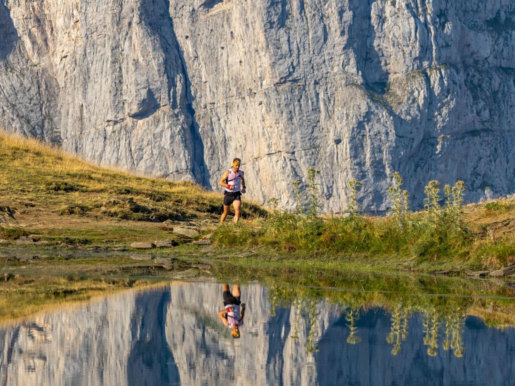
Transylvanian mountains and legends: forested climbs, big views, and a destination ultra vibe.
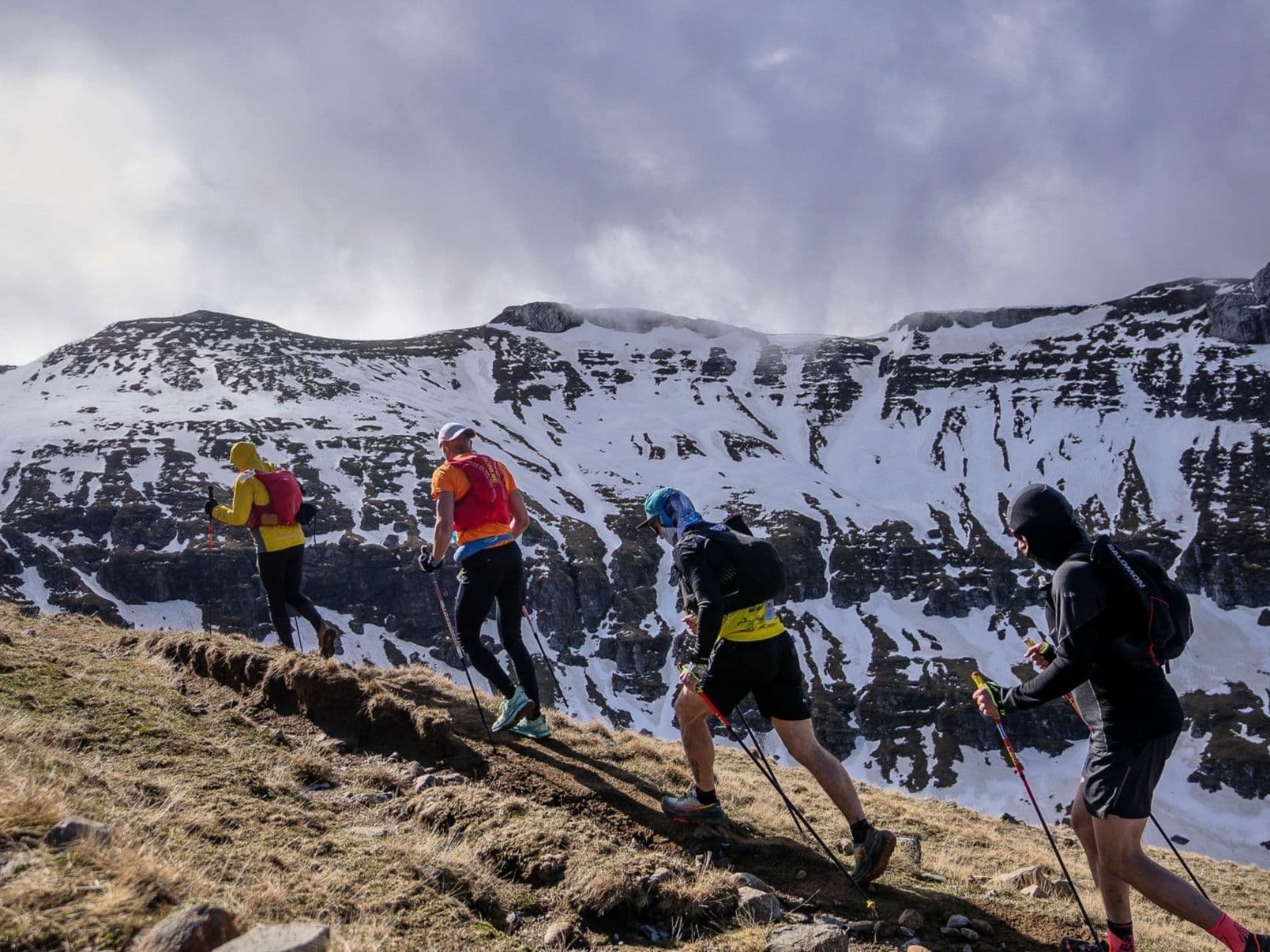
Elevation and Terrain
Total Meters
3320m
D+/KM
66.4m/km
For context, the Tor des Géants 330 loop has 73 D+/km.
Avg Uphill Gradient
15.4%
Avg Downhill Gradient
-10.8%
Uphill gradient distribution
Route Profile
Analysed 2026-05-02Terrain breakdown
Terrain
Climbs

Top climbs
8.6 km · 1379 m gain
starts km 1 · avg 16.0% · max 107.8%
3.8 km · 809 m gain
starts km 13 · avg 21.1% · max 105.0%
3.0 km · 398 m gain
starts km 29 · avg 13.3% · max 68.5%
Top descents
11.4 km · 1006 m drop
starts km 17 · avg -8.8% · max -68.0%
3.8 km · 636 m drop
starts km 41 · avg -16.7% · max -84.6%
2.9 km · 460 m drop
starts km 10 · avg -16.0% · max -114.0%
Course Profile: Moieciu de Sus Into the Carpathians, 3,320m D+, and a 1,379m Single Descent
Q: How hard is the Transylvania 100 – 50km compared to other European 50km races? A: Among 390 European ultras at all distances tracked by DiscoverTrailRaces, the Transylvania 100 – 50km ranks 37th for least-flat terrain (top 9.5% most mountainous), 41st for biggest single-climb segment (top 10.5%), and 67th for average uphill gradient steepness (top 17%). Official D+ is 3,320m (66.4m/km), confirmed exactly by the GPX. The biggest single descent drops 1,379m at -16.7% gradient. The course carries almost no recovery terrain — it demands the vertical preparation of a much longer event despite carrying a 50km label.
How Brutal Is This 50km? Percent-Flat Ranks 37/390 – Top 9.5% Most Mountainous European Ultra
Q: Is there a qualification requirement for the Transylvania 100 50km? A: Yes. Entry to the 50km requires evidence of a minimum trail run of 20km with 500m elevation gain. Road-running events on asphalt are explicitly not accepted — only off-road trail events qualify. Proof can be submitted via official race results or training recordings from Garmin, Strava, or similar platforms. Runners who register without meeting the qualification will be offered a refund minus a €10 processing fee, or a transfer to a shorter race distance.
Dracula Country: Running Beneath Bran Castle in the Transylvanian Carpathians
Q: Where is the Transylvania 100 – 50km held and what's nearby? A: The race starts and finishes in Moieciu de Sus, a mountain village in Brașov County in the Transylvania region of Romania. The course runs into the Carpathian massif. Bran Castle — the medieval fortress most associated with Bram Stoker's Dracula legend — sits in the Bran Valley directly adjacent to the race area, a few kilometres from the start. The historic Saxon city of Brașov, with its medieval old town and Gothic Black Church, is approximately 30km away. Accommodation in Bran, Moieciu, and surroundings is strong and generally affordable by Western European standards.
Getting to Moieciu de Sus: Brașov-Ghimbav Airport (GHV) 30 Minutes Away via Wizz Air
Q: How do I get to Moieciu de Sus for the Transylvania 100? A: The closest airport is Brașov-Ghimbav (GHV), approximately 30 minutes by car from Moieciu de Sus. Wizz Air operates scheduled connections to GHV from several Western European hubs, making this one of the more budget-accessible mountain race starts in Eastern Europe. The alternative is Bucharest Otopeni (OTP), roughly 2.5–3 hours by car, or reachable by direct train to Brașov followed by local taxi or bus. Accommodation in the Bran-Moieciu valley is strong; book early as the area is a popular spring tourist destination.
Race files
Logistics
Nearest airport
Brașov-Ghimbav (GHV) / Bucharest Otopeni (OTP)
Notes
Start: ~0.5 hr (GHV) or ~3 hrs (OTP) / Public transport: train/bus to Brașov then bus/taxi to Bran / Accommodation: strong supply in Bran/Moieciu. Suggested to fly into GHV (Wizz Air potential connections) to avoid long transfer.