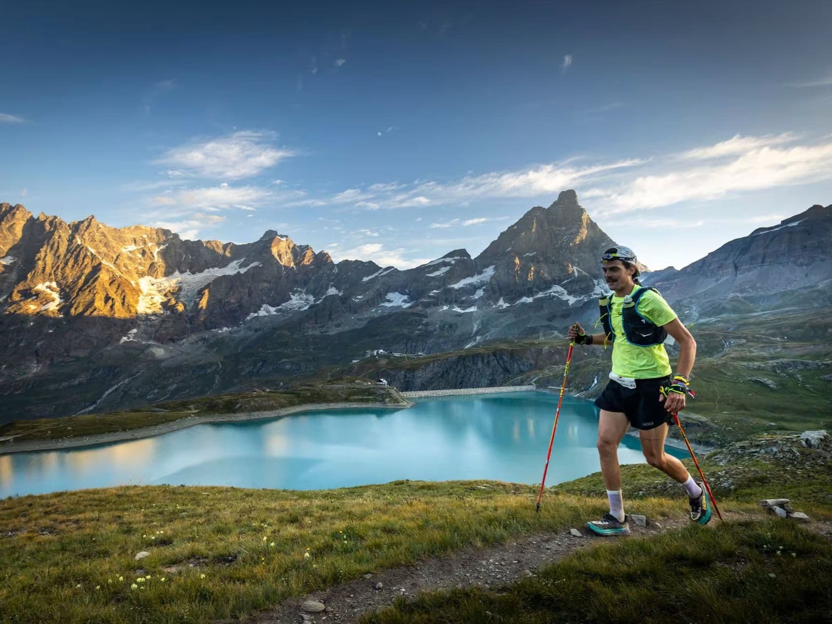
Italy · Aosta Valley
Monterosa Walserwaeg by UTMB
Distance
82 km
Date
July 17, 2026
Entry fee
180 EUR
€ / km
€2.20
UTMB in the Aosta Valley: huge vert, high-mountain villages, and serious alpine toughness.
Elevation and Terrain
Total Meters
6300m
D+/KM
76.83m/km
For context, the Tor des Géants 330 loop has 73 D+/km.
Avg Uphill Gradient
16.0%
Avg Downhill Gradient
-16.4%
Uphill gradient distribution
Route Profile
Analysed 2026-05-02Terrain breakdown
Terrain
Climbs

Top climbs
7.5 km · 1210 m gain
starts km 21 · avg 16.2% · max 66.5%
8.3 km · 1112 m gain
starts km 39 · avg 13.4% · max 47.2%
6.3 km · 1091 m gain
starts km 60 · avg 17.4% · max 49.1%
Top descents
6.7 km · 1038 m drop
starts km 66 · avg -15.4% · max -50.5%
7.8 km · 876 m drop
starts km 28 · avg -11.2% · max -42.6%
5.5 km · 839 m drop
starts km 50 · avg -15.0% · max -63.9%
Race files
Logistics
Nearest airport
Turin (TRN) / Milan Malpensa (MXP) / Geneva (GVA)
Notes
Start: ~1.5–3.5 hrs depending on venue and transfers / Public transport: trains to Aosta region then bus/taxi / Accommodation: good in Aosta Valley towns; book early (July)
FAR
It’ll possibly take 3+ hours from the closest large airport to arrive. Plan your adventure accordingly, take an extra day for those after-race beers or Curranz.