Austria · Tyrol (Pitztal)
Pitz Alpine Glacier Trail
Distance
103 km
Date
July 31, 2026
Entry fee
230 EUR
€ / km
€2.23
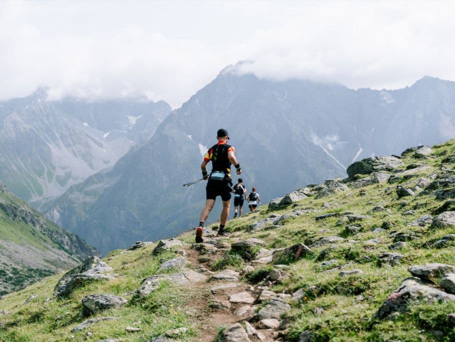
Glacier-country grind: steep climbs above the treeline and raw alpine terrain in the Pitztal.
Elevation and Terrain
Total Meters
6000m
D+/KM
58.25m/km
For context, the Tor des Géants 330 loop has 73 D+/km.
Avg Uphill Gradient
24.0%
Avg Downhill Gradient
-23.6%
Uphill gradient distribution
Route Profile
Analysed 2026-05-02Terrain breakdown
Terrain
Climbs

Top climbs
6.2 km · 1388 m gain
starts km 0 · avg 22.5% · max 146.7%
6.5 km · 1342 m gain
starts km 48 · avg 20.6% · max 172.0%
17.9 km · 951 m gain
starts km 73 · avg 5.3% · max 72.7%
Top descents
6.8 km · 1083 m drop
starts km 11 · avg -15.9% · max -160.0%
3.7 km · 654 m drop
starts km 56 · avg -17.7% · max -86.7%
7.7 km · 638 m drop
starts km 95 · avg -8.0% · max -62.4%
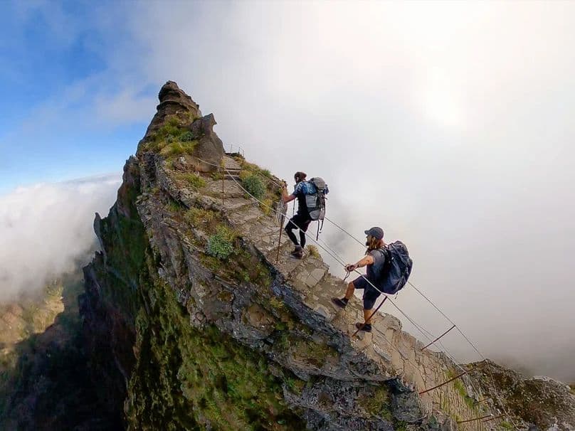
How Extreme Is the Pitz Alpine Glacier Trail P105? (24% Average Gradients, Mandatory Spikes, and a 3,070 m Glacier at Night)
Q: How hard is the Pitz Alpine Glacier Trail 103km (P105)? | A: Exceptionally hard. The course covers 103km with 6,000m gain (~58m/km), peaks at 3,070m with a glacier crossing requiring mandatory spikes, and has over 9.5km at 20%+ gradient. Distance-weighted average gradients are 24.0% uphill and 23.63% downhill — among the steepest profiles in the DTR database. The opening climb of 1,388m begins at km 0.09, in darkness. The 2025 edition was shortened to 20km due to extreme weather.
Course Profile — Four Loops Through Mandarfen: The Opening Climb at km 0.09, the Glacier Crossing, and 9.5 km Above 20%
Q: What makes the Pitz Alpine Glacier Trail unique among European 100km races? | A: Three things: it is part of the Golden Trail World Series (one of the few 100kms with GTWS status); it requires mandatory glacier spikes (min. 0.7cm) — rare for any ultra; and it has sold out every year since 2018. The race starts at 23:00, meaning the glacier crossing and first major climb happen in complete darkness.
€2.23 per Kilometre for a Golden Trail World Series Race in the Austrian Alps
Q: Is the Pitz Alpine Glacier Trail 2026 sold out? | A: Earlier registration tiers are sold out. A third contingent (550 slots) was available as of the research date; on-site registration (+€15) may also be possible. The race has sold out every year since 2018 — check time2win.at or pitztal.com for current availability immediately.
Getting to the Pitz Alpine Glacier Trail: Innsbruck, the Pitztal, and Why Accommodation Books Out
Q: Which airport should I use for the Pitz Alpine Glacier Trail? | A: Innsbruck (INN) is the best option at approximately 82 minutes from Mandarfen by road — not classified as FAR. Munich (MUC) is approximately 3–4.5 hours and is classified as FAR. Public transport via bus from Imst or Pitztal Bahnhof is possible but slower. Accommodation in the upper Pitztal is limited — book well in advance for a late July race weekend.
Race files
Logistics
Nearest airport
Innsbruck (INN) / Munich (MUC)
Notes
Start: ~1–1.75 hrs (INN) or FAR - ~3–4.5 hrs (MUC) to Pitztal (Mandarfen/St. Leonhard) / Public transport: bus from Imst/Pitztal Bahnhof; slower / Accommodation: limited in upper Pitztal; book early