Switzerland · Valais
SwissPeaks Trail
Distance
46 km
Date
September 5, 2026
Entry fee
96 CHF
€ / km
€2.27
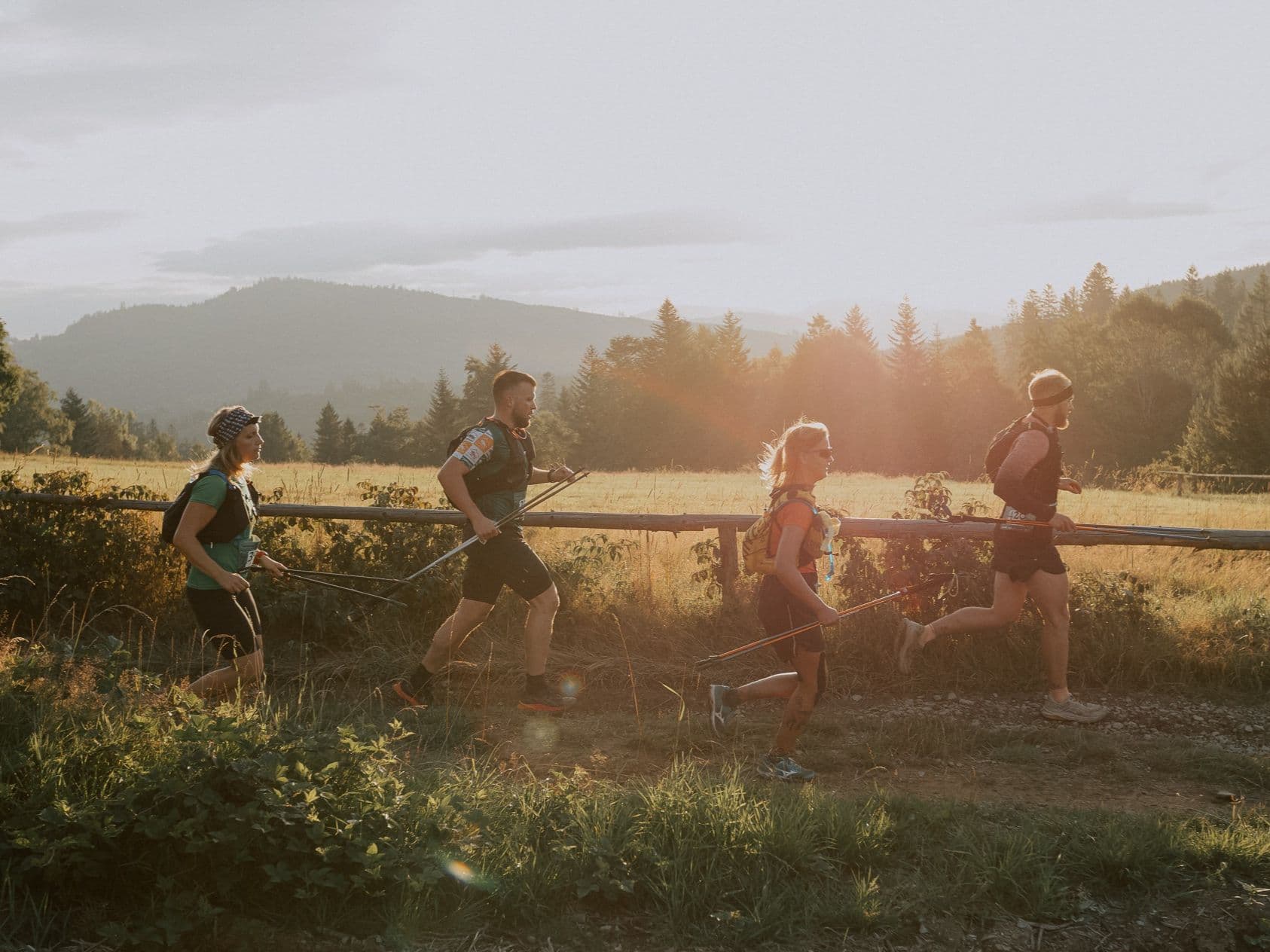
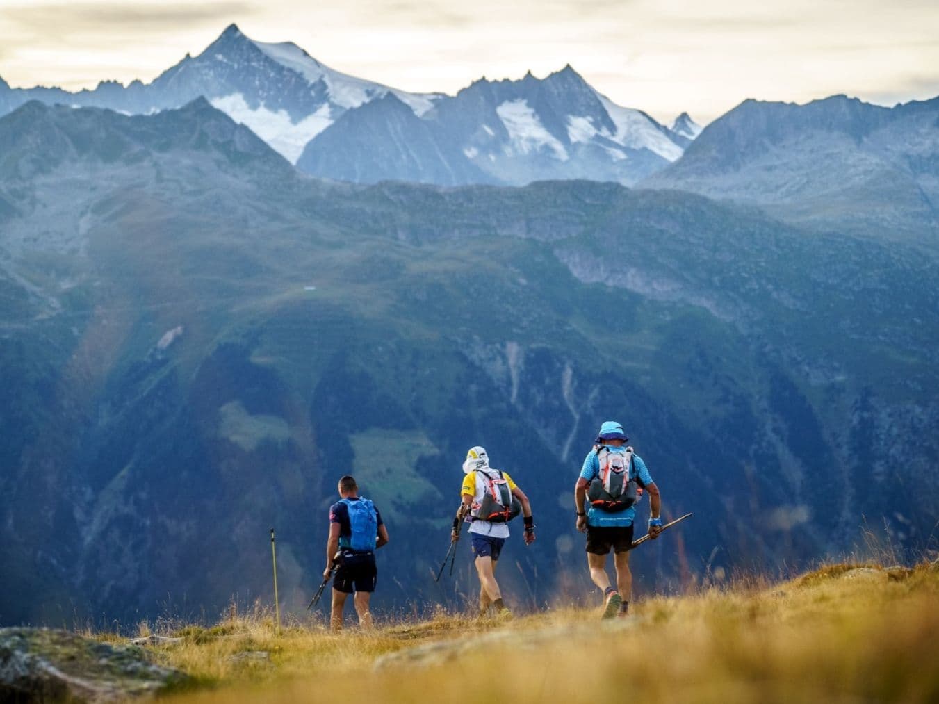
A Swiss stage-epic: endless climbs across Valais with multi-day suffering and elite scenery.
Elevation and Terrain
Total Meters
2480m
D+/KM
53.91m/km
For context, the Tor des Géants 330 loop has 73 D+/km.
Avg Uphill Gradient
13.5%
Avg Downhill Gradient
-15.9%
Uphill gradient distribution
Route Profile
Analysed 2026-05-02Terrain breakdown
Terrain
Climbs

Top climbs
4.9 km · 443 m gain
starts km 0 · avg 9.1% · max 37.2%
4.3 km · 435 m gain
starts km 25 · avg 10.1% · max 28.1%
1.3 km · 305 m gain
starts km 23 · avg 23.1% · max 41.8%
Top descents
4.2 km · 863 m drop
starts km 30 · avg -20.7% · max -42.1%
6.3 km · 698 m drop
starts km 37 · avg -11.0% · max -44.9%
2.5 km · 410 m drop
starts km 10 · avg -16.0% · max -49.7%
Race files
Logistics
Nearest airport
Geneva (GVA) / Zürich (ZRH)
Notes
Start: ~3–4.5 hrs (ZRH) or ~2.5–3.5 hrs (GVA) to Valais start towns (route-dependent) / Public transport: possible (train to Valais) but long; race logistics complex / Accommodation: stage/loop formats; book early in Valais. The 2026 edition was cancelled, and may affect the 2027 version.
FAR
It’ll possibly take 3+ hours from the closest large airport to arrive. Plan your adventure accordingly, take an extra day for those after-race beers or Curranz.