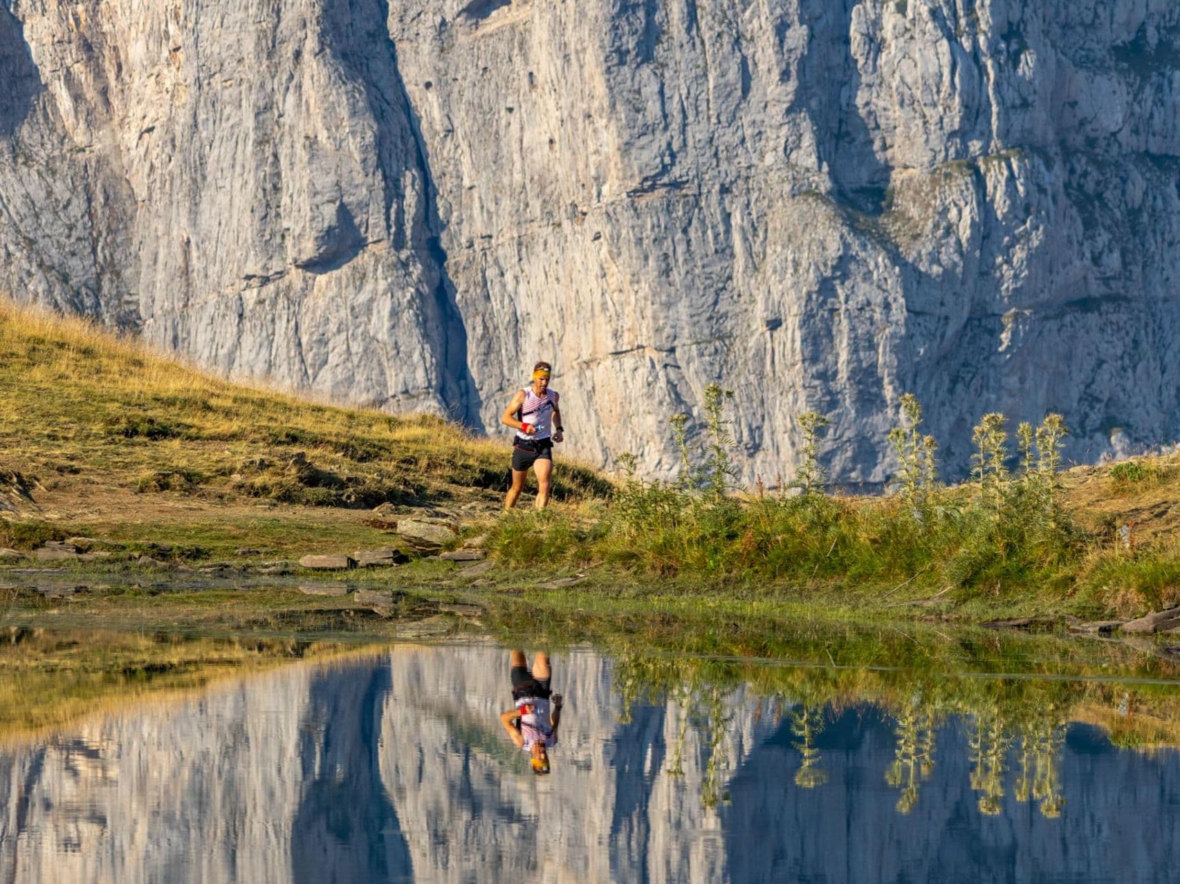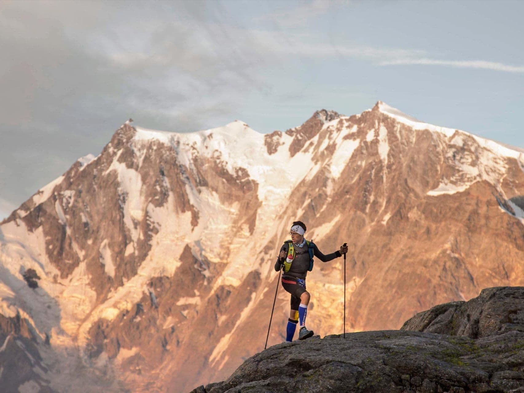
Switzerland · Valais
Ultra Tour Monte Rosa
Distance
63 km
Date
September 2, 2026
Entry fee
150 EUR
€ / km
€2.38
Aosta Valley scale without the crowds: high passes, huge vert, and a brutally beautiful Monterosa traverse.
Elevation and Terrain
Total Meters
4400m
D+/KM
69.84m/km
For context, the Tor des Géants 330 loop has 73 D+/km.
Avg Uphill Gradient
13.5%
Avg Downhill Gradient
-15.0%
Uphill gradient distribution
Route Profile
Analysed 2026-05-02Terrain breakdown
Terrain
Climbs

Top climbs
8.1 km · 1338 m gain
starts km 10 · avg 16.4% · max 67.3%
11.2 km · 656 m gain
starts km 39 · avg 5.9% · max 49.7%
7.0 km · 534 m gain
starts km 21 · avg 7.6% · max 43.5%
Top descents
5.8 km · 801 m drop
starts km 33 · avg -13.9% · max -31.7%
7.0 km · 798 m drop
starts km 2 · avg -11.5% · max -60.7%
6.9 km · 750 m drop
starts km 57 · avg -11.0% · max -66.1%
Race files
Logistics
Nearest airport
Geneva (GVA) / Milan Malpensa (MXP) / Zürich (ZRH)
Notes
Start: ~2.0–3.5 hrs (GVA) or ~2.0–3.0 hrs (MXP) or ~3.0–4.5 hrs (ZRH) to Valais start towns near Monte Rosa (Grächen or Zermatt valley; TODO: verify HQ) / Public transport: good Swiss rail to Visp then bus; last-mile depends on village / Accommodation: limited and pricey in mountain villages; book early (August)
FAR
It’ll possibly take 3+ hours from the closest large airport to arrive. Plan your adventure accordingly, take an extra day for those after-race beers or Curranz.