Switzerland · Graubünden
Transruinaulta 42K
Distance
42.2 km
Date
October 24, 2026
Entry fee
95 CHF
€ / km
€2.45
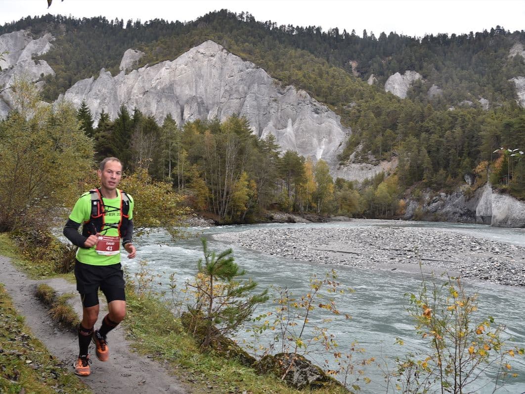
Swiss canyon runway: fast trails along the Rhine gorge with stunning cliffs and easy logistics.
Elevation and Terrain
Total Meters
1800m
D+/KM
42.65m/km
For context, the Tor des Géants 330 loop has 73 D+/km.
Avg Uphill Gradient
11.6%
Avg Downhill Gradient
-10.5%
Uphill gradient distribution
Route Profile
Analysed 2026-05-02Terrain breakdown
Terrain
Climbs

Top climbs
3.0 km · 350 m gain
starts km 25 · avg 11.6% · max 20.1%
2.9 km · 222 m gain
starts km 17 · avg 7.8% · max 19.7%
1.7 km · 215 m gain
starts km 29 · avg 12.8% · max 21.3%
Top descents
4.8 km · 412 m drop
starts km 31 · avg -8.5% · max -23.2%
3.4 km · 340 m drop
starts km 21 · avg -10.0% · max -33.5%
2.6 km · 200 m drop
starts km 15 · avg -8.0% · max -44.3%
What Makes Transruinaulta Different from Every Other Swiss Trail Race?
Q: How hard is the Transruinaulta 42K? A: Moderate. At 42.7m/km and 22.8% flat terrain, the gradient profile is challenging but not extreme — comparable in elevation density to Les Templiers Grand Trail. The course leans net-descent (40% downhill), rewarding runners who pace the canyon climbs well. The technical character of the gorge trail and sustained gradient mean there are no easy kilometres.
Course Profile — Canyon Singletrack, Wooden Bridges, and a Net Descent to Thusis
Q: Can I combine Transruinaulta with another race? A: Yes. The Transviamala (19km, Thusis-based) runs the following day and can be entered as a two-day stage race with the 42km for CHF 175 total.
€2.45 per Kilometre — What Swiss Canyon Organisation Costs
Q: How much does it cost to enter Transruinaulta 42K? A: CHF 95 standard entry — €2.45 per kilometre — placing it near the premium end of the European trail market for a 42km race. Swiss operational costs and 22 years of race infrastructure are reflected in the price.
Getting There: Zürich, the RhB Train, and Why Ilanz Is Easier to Reach Than Most Alpine Starts
Q: When does the 2026 Transruinaulta take place? A: October 24, 2026.
Race files
Logistics
Nearest airport
Zürich (ZRH)
Notes
Start: ~2–2.75 hrs to Ilanz by train+bus / Public transport: good (rail to Chur + RhB to Ilanz) / Accommodation: moderate in Ilanz/Flims/Laax; book early (summer)