Switzerland · Canton Grisons (Upper Engadine)
Engadin Ultra Trail
Distance
53.3 km
Date
July 18, 2026
Entry fee
120 CHF
€ / km
€2.45
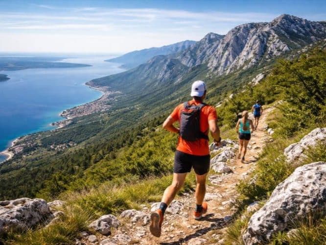
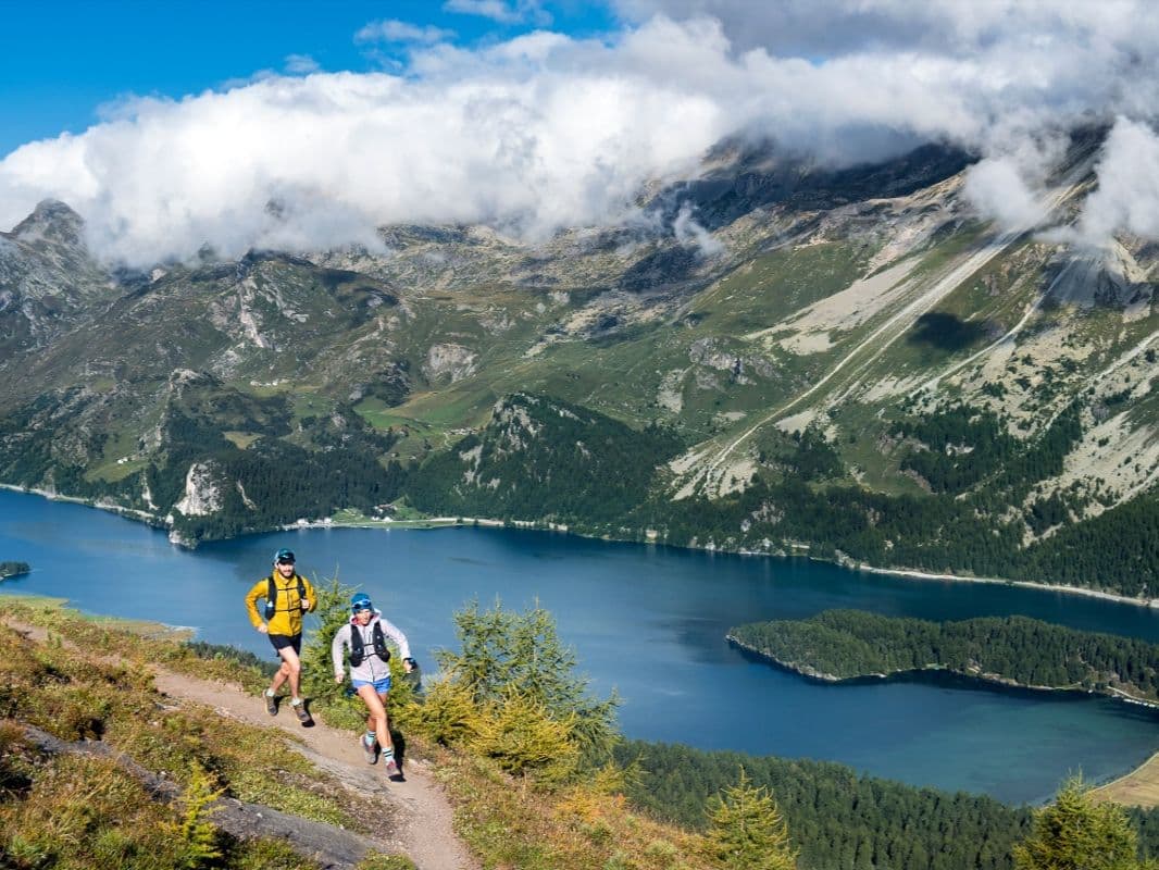
High Engadin toughness: alpine lakes, big climbs, and a thin-air finish near St. Moritz.
Elevation and Terrain
Total Meters
2639m
D+/KM
49.51m/km
For context, the Tor des Géants 330 loop has 73 D+/km.
Avg Uphill Gradient
12.4%
Avg Downhill Gradient
-11.6%
Uphill gradient distribution
Route Profile
Analysed 2026-05-02Terrain breakdown
Terrain
Climbs

Top climbs
7.0 km · 916 m gain
starts km 15 · avg 13.0% · max 33.5%
8.3 km · 770 m gain
starts km 1 · avg 9.3% · max 42.7%
7.0 km · 751 m gain
starts km 38 · avg 10.7% · max 28.8%
Top descents
7.4 km · 785 m drop
starts km 45 · avg -10.6% · max -31.6%
5.7 km · 776 m drop
starts km 9 · avg -13.6% · max -34.9%
9.5 km · 759 m drop
starts km 22 · avg -8.0% · max -22.7%
Race files
Logistics
Nearest airport
Zürich (ZRH) / Milan (MXP)
Notes
Start: ~3–4.5 hrs (ZRH) or ~3–4 hrs (MXP) by car; train to Samedan available / Public transport: good (train to Samedan) / Accommodation: strong in St. Moritz/Engadine but pricey; book early
FAR
It’ll possibly take 3+ hours from the closest large airport to arrive. Plan your adventure accordingly, take an extra day for those after-race beers or Curranz.