SUECIA · Södermanland County
Sörmlands Trail Run 169km: del castillo a la costa báltica por los bosques de Suecia, con 2.800m D+ y un 55,8 % llano
Datos clave
Distancia
169 km
Fecha
Precio de inscripción
1,950 SEK
€ / km
€1.10
Sweden’s autumn 100K - Roots, rocks, lakes, and relentless rolling single-track near Stockholm.
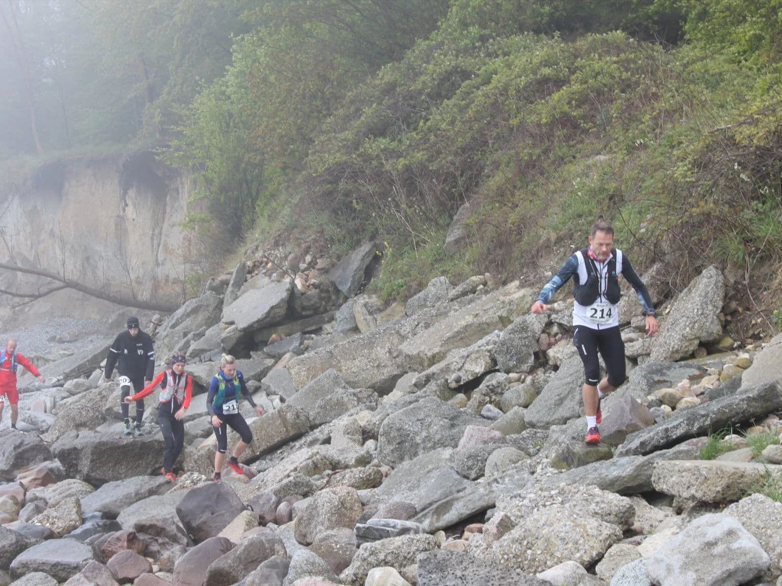
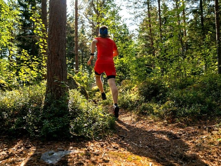
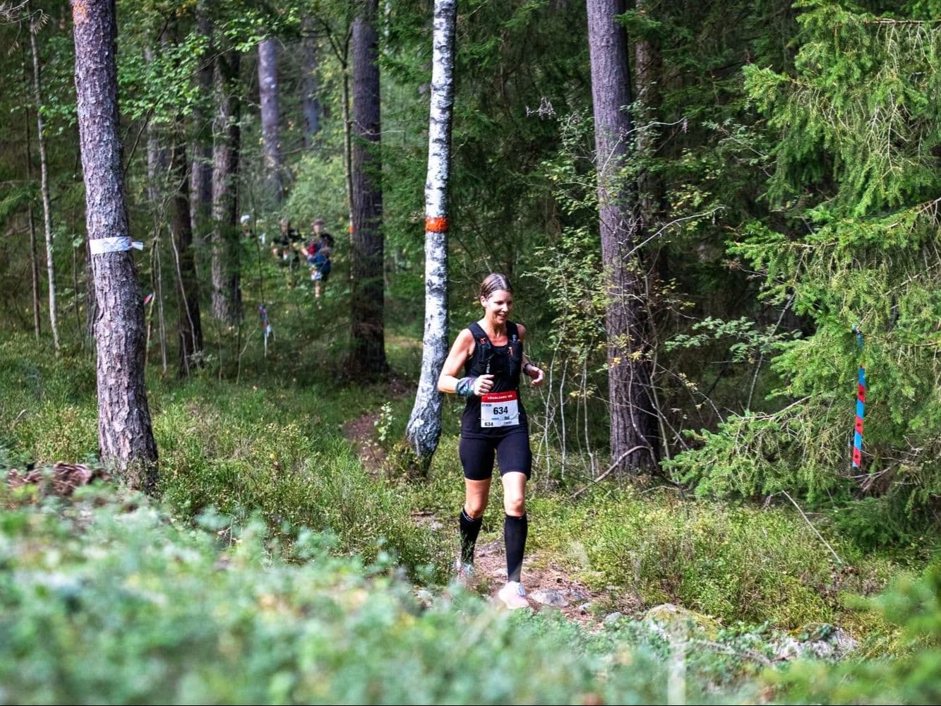
The Sörmlands Trail Run 169km is a point-to-point forest ultra that runs south across Södermanland County, Sweden, from Gripholms Slott in Mariefred — a 16th-century castle on Lake Mälaren — to Nävekvarn Folkets Park, ending on the Baltic coast. The race starts at 12:00 on September 11, 2026, part of a larger weekend that features 100km and 50 km races. The 169km course is a flat trail run - just 2,800m (16.6 m/km) of altitude, with 55.8% of the terrain classified as flat — among the flattest 8% of the DTR European database. Stats for trail runners: Distance-weighted average gradients are 5.7% uphill and 5.6% downhill and the biggest climb rises just 78 meters. All gradients are fully runnable, making this more of a distance-and-endurance challenge, not a mountain one. Plenty of character and heart in the race event - the director is Billy White (chef, author, long-distance runner) who creates a race of 13 aid stations stocked by local restaurants and food producers; a 36-hour time limit; handmade wooden belt buckle and post-race sauna for finishers. A community race at heart. The race enters its 5th edition in 2026. Entry costs 1,950–2,350 SEK (€1.10/km). Stockholm Skavsta Airport (NYO) is 13 minutes away if you can find a direct flight there.
Elevación y Terreno
Metros totales
2,800m
D+/KM
16.6m/km
Como referencia, el circuito Tor des Géants de 330 km tiene 73 D+/km.
Pendiente media de subida
5.7%
Pendiente media de bajada
-5.6%
Distribución del gradiente de subida
| 2–5% | 20.5 km | |
|---|---|---|
| 5–10% | 12.6 km | |
| 10–15% | 3.1 km | |
| 15–20% | 0.9 km | |
| 20%+ | 0.4 km |
Perfil de ruta
AnalysedDesglose del terreno
| 21.9% | Subida |
|---|---|
| 55.8% | Llano |
| 22.3% | Bajada |
Terreno
Ascensos

Principales ascensos
| Rank | Length | Elevation gain | Start km | Average gradient | Max gradient |
|---|---|---|---|---|---|
| 1 | 2.6 km · 78 m gain starts km 23 · avg 2.9% · max 16.9% | ||||
| 2 | 2.6 km · 70 m gain starts km 7 · avg 2.7% · max 21.7% | ||||
| 3 | 2 km · 44 m gain starts km 103 · avg 2.2% · max 15.4% |
Principales descensos
| Rank | Length | Elevation drop | Start km | Average gradient | Max gradient |
|---|---|---|---|---|---|
| 1 | 4 km · 86 m drop starts km 164 · avg -2.2% · max -14.3% | ||||
| 2 | 3.1 km · 54 m drop starts km 97 · avg -1.7% · max -22.3% | ||||
| 3 | 2.1 km · 49 m drop starts km 20 · avg -2% · max -32.4% |
Sörmlands Trail Run 169km: del castillo a la costa báltica por los bosques de Suecia, con 2.800m D+ y un 55,8 % llano
¿Qué dificultad tiene la Sörmlands Trail Run 169km? 55,8 % llano, 2.800m D+ y 36 horas por los bosques de Södermanland▼
P: ¿Qué dificultad tiene la Sörmlands Trail Run 169km? | R: Es dura de la forma en que solo pueden serlo las carreras muy largas y llanas. Los 169km suman apenas 2.800m D+ (~16,6m/km), con un 55,8 % llano, puesto 360 de ~390. Las pendientes medias ponderadas son del 5,72 % en subida y del 5,63 % en bajada; todo el desnivel es corrible. La mayor subida gana 78m. El reto consiste en sostener el esfuerzo aeróbico durante 169km, gestionar la fatiga y correr de noche (salida el viernes a las 12:00; frontal obligatorio). Tiempo límite: 36 horas.
Perfil del recorrido: senderos Sörmlandsleden, 13 avituallamientos y travesía de punto a punto por cinco municipios▼
P: ¿Cómo es el recorrido de la Sörmlands Trail Run? | R: Es una travesía hacia el sur desde Gripholms Slott, en Mariefred, un castillo del siglo XVI junto al lago Mälaren, hasta Nävekvarn Folkets Park, en la costa báltica. Recorre 169km, cinco municipios y más de 120 parcelas privadas. Superficie: 60 % sendero, 30 % grava y 10 % asfalto, siguiendo las redes balizadas de Sörmlandsleden y Eriksgata. Hay 13 avituallamientos aproximadamente cada 13km, muchos en restaurantes y productores locales. No se usan vasos desechables: hay que llevar el propio. La organización proporciona localizador GPS.
1,10 EUR/km y a 13 minutos de Stockholm Skavsta: relación calidad-precio y logística▼
P: ¿Cuánto cuesta la Sörmlands Trail Run 169km y está agotada? | R: La inscripción cuesta 1.950 SEK entre diciembre y febrero, 2.150 SEK entre marzo y mayo o 2.350 SEK entre junio y el 10 de septiembre, aproximadamente 1,10 EUR/km según el cálculo AUTO de DTR. No está agotada; el registro cierra el 10 de septiembre o antes si se llenan las plazas. Inscripción mediante RaceID en sormlands100.com.
Cómo llegar: Stockholm Skavsta (NYO) a 13 minutos y por qué Nyköping es la base adecuada▼
P: ¿Qué aeropuerto conviene utilizar? | R: Stockholm Skavsta (NYO) es el más cercano, a unos 13 minutos de Nyköping, centro logístico de la carrera. Wizzair vuela desde Varsovia, Bucarest y Belgrado; Norwegian opera rutas estacionales. Desde Stockholm Arlanda (ARN), el tren o autobús hasta Nyköping tarda unas 2 horas. La mejor base es Nyköping, con abundante alojamiento y parada del autobús oficial hacia la salida en Mariefred.
Archivos de carrera
Logística
Aeropuerto más cercano
Stockholm Skavsta (NYO) / Stockholm Arlanda (ARN)
Notas
Start: Only 15 minutes by car or bus from NYO to Nyköping. Wizzair flies from Warsaw, Bucharest, Belgrade into NYO, Norwegian flies seasonally from Spain / Public transport: train/bus/car from ARN to Nyköping/Trosa region takes about two hours / Accommodation: Nyköping is the best base with plentiful lodging, and is a stop on the shuttle bus to race starts, as well as the start of the 50km race. Airbnbs available at race finish and other towns nearby (car recommended)