Austria · Tyrol
Stuiben Trailrun
Distancia
44.1 km
Fecha
May 16, 2026
Precio de inscripción
75 EUR
€ / km
€1.70
Nueva fecha pendiente
Esta carrera ya ha tenido lugar. La fecha de la próxima edición está pendiente.
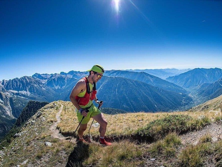
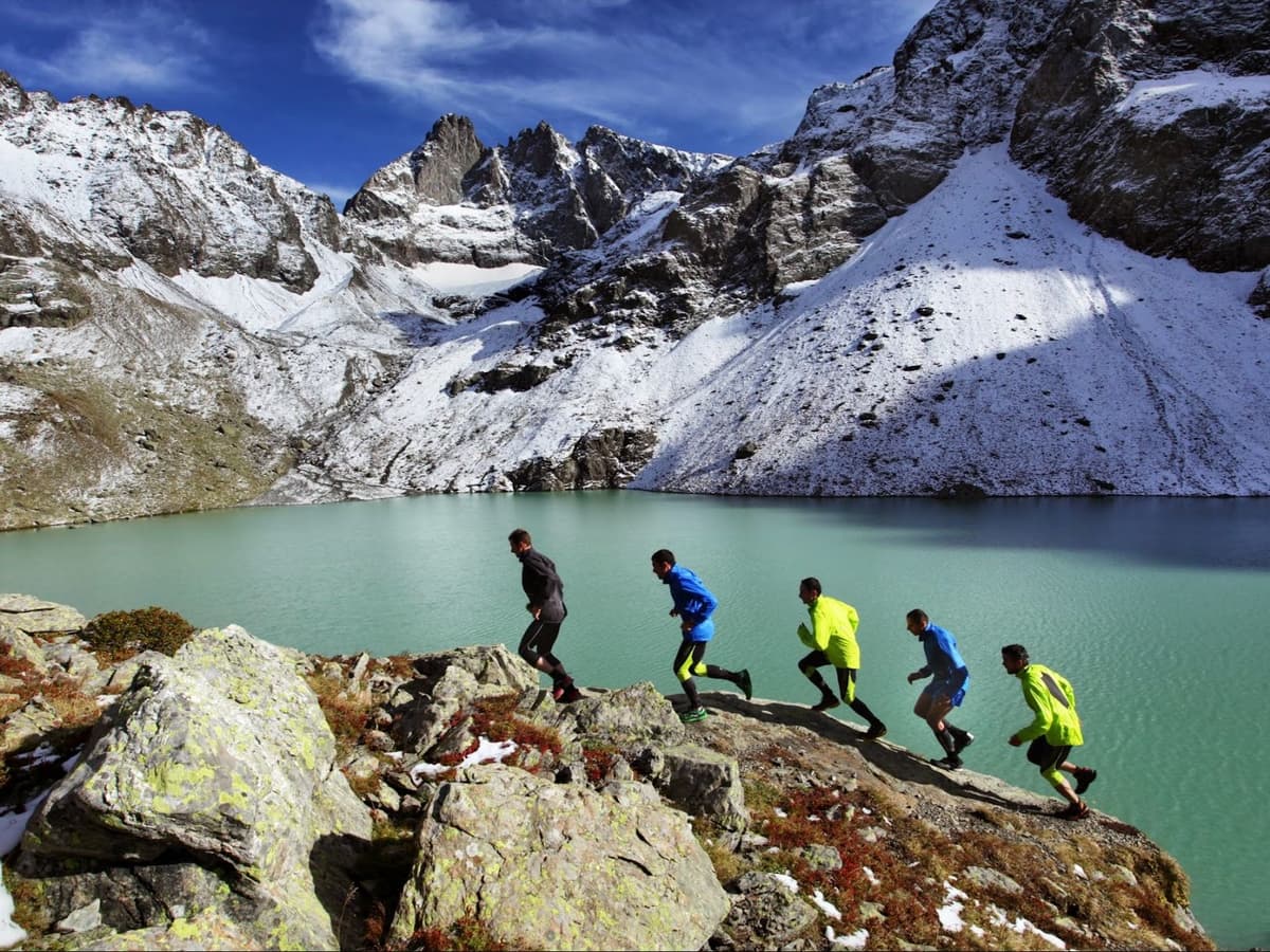
Short, sharp, and savage: stair-steps, waterfalls, and steep Tyrolean trails that sting from the gun.
Elevación y Terreno
Metros totales
3100m
D+/KM
70.29m/km
Como referencia, el circuito Tor des Géants de 330 km tiene 73 D+/km.
Pendiente media de subida
17.5%
Pendiente media de bajada
-18.1%
Distribución del gradiente de subida
Perfil de ruta
Analysed 2026-05-02Desglose del terreno
Terreno
Ascensos
Principales ascensos
9.1 km · 1366 m gain
starts km 0 · avg 15.0% · max 90.4%
4.9 km · 643 m gain
starts km 14 · avg 13.2% · max 72.7%
2.6 km · 487 m gain
starts km 32 · avg 18.9% · max 67.9%
Principales descensos
5.8 km · 809 m drop
starts km 19 · avg -14.0% · max -48.3%
5.5 km · 650 m drop
starts km 9 · avg -11.8% · max -64.0%
3.0 km · 529 m drop
starts km 27 · avg -18.0% · max -100.6%
Course Profile: What 70m of D+ Per Kilometre and Top-5% Gradient Steepness Actually Demand
Q: How much elevation gain does Stuiben Trailrun 44.1km have? A: D+ = 3,100m, officially confirmed -- exact match between the published figure and GPX analysis (GPX actual distance 44.08km). At 70m of D+ per kilometre the course ranks 21st most vertically dense out of 390 European ultras -- top 5% of the database. Total D- is 3,296m. The biggest single climb rises 650m (rank 46/390 -- top 12%). The average uphill gradient ranks 18th steepest in the European trail database (also top 5%). The course passes the Stuibenfall waterfall via a famous staircase section. Expect steep Tyrolean alpine terrain throughout with virtually no flat recovery sections.
The Stuibenfall Staircase: The Section That Defines Stuiben Trailrun's Identity
Q: How hard is Stuiben Trailrun 44.1km? A: Exceptionally hard relative to its distance. 44km sounds approachable, but 3,100m of D+ at 70m/km (rank 21/390 most vertical) combined with the 18th steepest average uphill gradient in the European trail database makes this one of the most relentlessly steep races at any distance. The average descent gradient ranks 373rd out of 390 (18th steepest descending in the database), confirming the downhills are as punishing as the uphills. The race includes the famous Stuibenfall waterfall staircase. Plan for substantially longer than marathon race time despite the relatively short distance.
Sold Out for 2026: Entry Fees, Administration Costs, and How to Enter for 2027
Q: Is Stuiben Trailrun sold out? A: The 2026 edition sold out with medium sell-out intensity; the event ran on May 16, 2026 and registration is now closed. Entry in 2026 was 75 euros early bird (January-March 2026) rising to 85 euros (April-May 14 2026), with additional administration fees not included in the listed prices. Registration was via my.raceresult.com. Monitor the official website at oetztal-trailrunning.at for 2027 registration opening dates and early-bird pricing.
Getting There: Innsbruck Airport, the Oetztal Valley, and Why a Car is Your Best Option
Q: How do I get to Stuiben Trailrun 44.1km? A: The race starts in Umhausen in the Oetztal valley, Tyrol, Austria. Innsbruck airport (INN) is the nearest airport at approximately one hour by car. Note: a data discrepancy exists in the race record -- the listed transfer time of 220 minutes corresponds to Salzburg airport (SZG) not Innsbruck; confirm current travel times for your departure airport. Public transport is possible (train to Oetztal station plus connecting bus) but car is strongly recommended given the valley location. Accommodation is excellent in Umhausen, Laengenfeld, and Soelden.
Archivos de carrera
Logística
Aeropuerto más cercano
Innsbruck (INN)
Notas
Start: ~1 hr drive (Ötztal) / Public transport: Train to Ötztal + bus but car easiest / Accommodation: Good (Umhausen/Längenfeld/Sölden area)