Austria · Tyrol
Mayrhofen Ultraks Zillertal TUX070 70km: The Second Most Vertically Dense Ultra in Europe — D+/km Rank 2 of 390, Avg Uphill Rank 5 of 390, Point-to-Point From Hintertux to Mayrhofen
Datos clave
Distancia
70 km
Fecha
Precio de inscripción
150 EUR
€ / km
€2.14
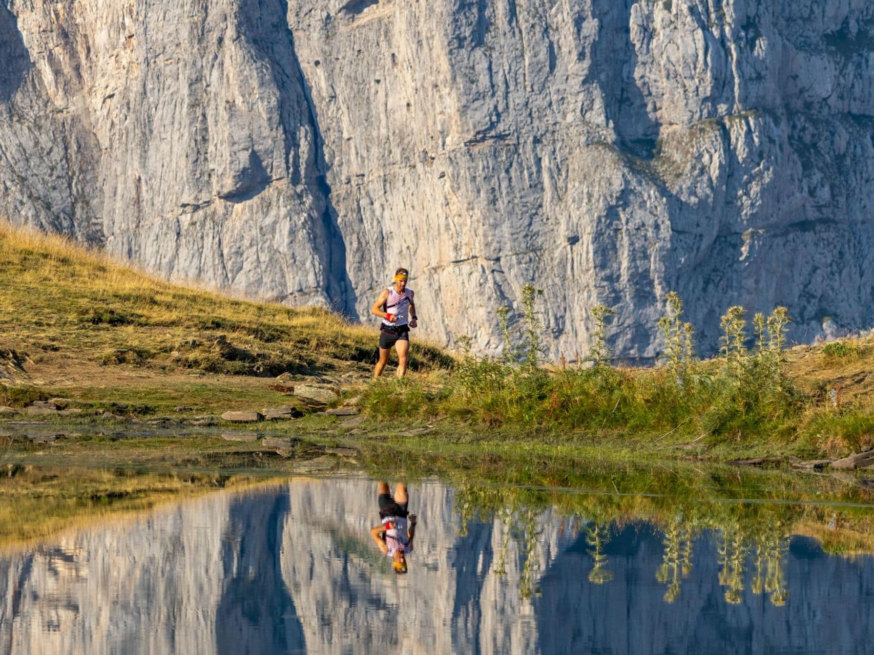
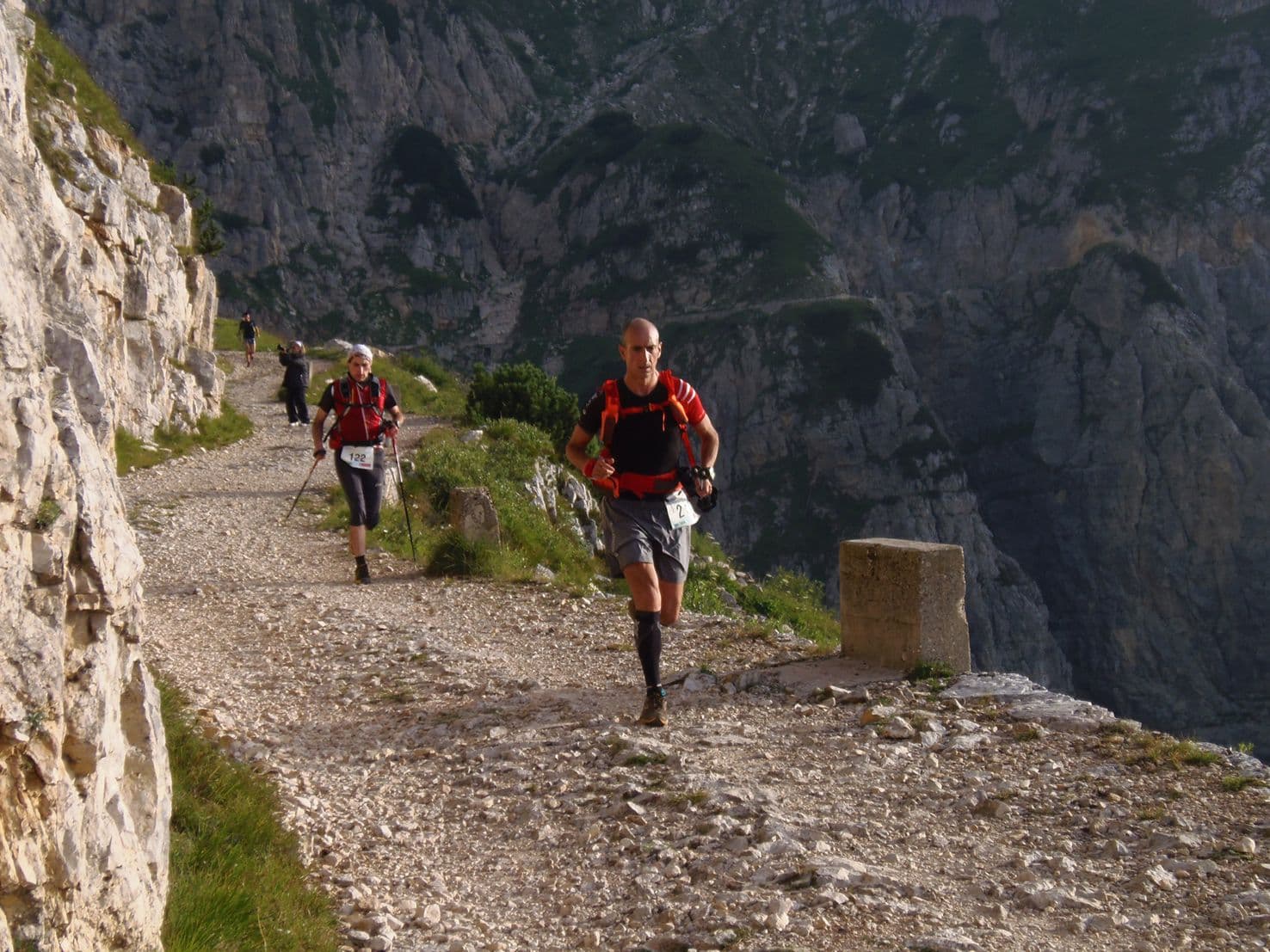
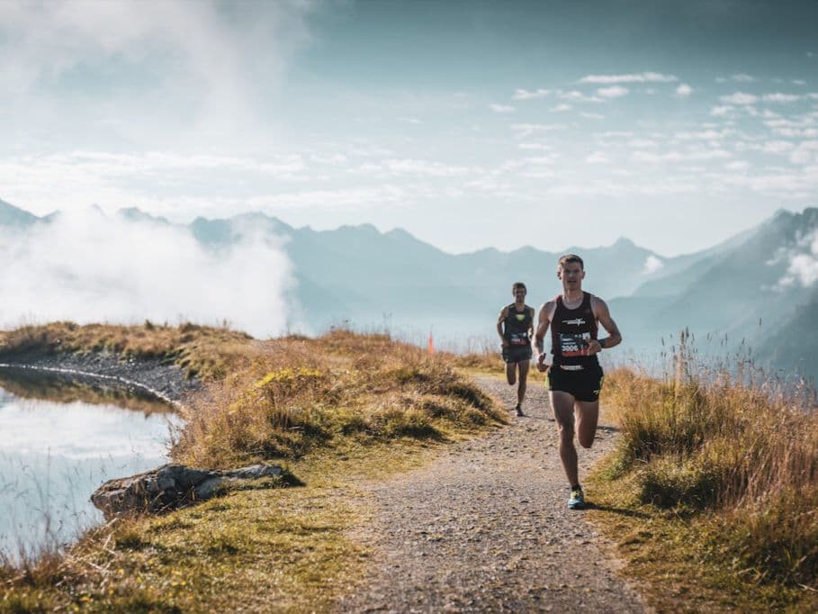
Zillertal brutality: steep alpine climbs, sky-high panoramas, and a resort town built for race weekends.
Mayrhofen Ultraks Zillertal TUX070 is the 70km distance at the Mayrhofen Ultraks Zillertal festival in the Austrian Tyrol, running point-to-point from Hintertux to Mayrhofen through the Zillertal Alps. With 4,400m D+ over 70km (62.9m per kilometre), D+/km ranks 2nd of 390 European trail races — only one race in the database carries more elevation gain per kilometre. Average uphill gradient ranks 5th of 390 at +22.17%; average downhill gradient ranks 384th of 390 on the inverted scale, placing TUX070 among the 7 races in Europe with the steepest average descent profile, at -20.69%. The race starts at the Gletscherbahnen Hintertux parking lot, not Mayrhofen — runners take a shuttle up-valley, leaving at 05:30 with headlamps for the opening 8km, 1,019m climb toward the Frauenwand at dawn. The TUX070 was introduced in 2022, the newest of the event's three distances, and grew from 88 finishers in 2024 to 118 in 2025. Entry runs €150 early bird (through April 30) or €170 standard; not sold out. Innsbruck Airport (INN) is approximately 65 minutes from Mayrhofen. UTMB 100K-rated.
Elevación y Terreno
Metros totales
4,400m
D+/KM
62.9m/km
Como referencia, el circuito Tor des Géants de 330 km tiene 73 D+/km.
Pendiente media de subida
22.2%
Pendiente media de bajada
-20.7%
Distribución del gradiente de subida
| 2–5% | 3.8 km | |
|---|---|---|
| 5–10% | 4.3 km | |
| 10–15% | 3.8 km | |
| 15–20% | 2.4 km | |
| 20%+ | 12.2 km |
Perfil de ruta
AnalysedDesglose del terreno
| 38.6% | Subida |
|---|---|
| 13.9% | Llano |
| 47.5% | Bajada |
Terreno
Ascensos

Principales ascensos
| Rank | Length | Elevation gain | Start km | Average gradient | Max gradient |
|---|---|---|---|---|---|
| 1 | 8 km · 1019 m gain starts km 0 · avg 12.7% · max 75.8% | ||||
| 2 | 4.1 km · 610 m gain starts km 11 · avg 14.9% · max 113.3% | ||||
| 3 | 5 km · 518 m gain starts km 35 · avg 10.4% · max 70% |
Principales descensos
| Rank | Length | Elevation drop | Start km | Average gradient | Max gradient |
|---|---|---|---|---|---|
| 1 | 8.6 km · 1136 m drop starts km 60 · avg -13.3% · max -135.9% | ||||
| 2 | 6.7 km · 960 m drop starts km 48 · avg -14.4% · max -102% | ||||
| 3 | 5.2 km · 586 m drop starts km 39 · avg -11% · max -73.3% |
Mayrhofen Ultraks Zillertal TUX070 70km: The Second Most Vertically Dense Ultra in Europe — D+/km Rank 2 of 390, Avg Uphill Rank 5 of 390, Point-to-Point From Hintertux to Mayrhofen
Course Profile: 70km / 4,400m D+ at 62.9m per Kilometre — Point-to-Point From the Hintertux Glacier to Mayrhofen Town Center▼
Q: What is the course profile of Mayrhofen Ultraks Zillertal TUX070 70km? A: TUX070 covers 70km (officially 69.90km) with 4,400m D+, equating to 62.9m per kilometre — ranking 2nd of 390 European trail races for vertical density per kilometre. The course runs point-to-point from the Gletscherbahnen Hintertux parking lot to Mayrhofen town center through the Zillertal Alps in Austrian Tyrol. Terrain breakdown: 38.6% uphill, 13.9% flat, 47.5% downhill. Average uphill gradient: +22.17% (rank 5/390 steepest). Average downhill gradient: -20.69% (rank 384/390 inverted — 7th steepest descent profile in 390 European ultras). The race starts at 05:30 with headlamps required for the opening 8km, 1,019m climb toward the Frauenwand ridge — covered before sunrise. The course continues over the Tuxerjoch and along the main Zillertal Alps ridge before the TUX070 route merges with the RK50 (50km) for a technical final descent into Mayrhofen. Biggest single descent: 1,136m over 8.55km at -13.29% average gradient (rank 89/390). Uphill gradient distribution: 12.15km at 20%+, 2.43km at 15–20%, 3.78km at 10–15%, 4.29km at 5–10%, 3.75km at 2–5%. Verify 2027 course details at mayrhofen.ultraks.com/en/tux070/.
D+/km Rank 2 of 390, Avg Uphill Rank 5 of 390, Avg Descent Rank 384 of 390 (Inverted) — What the Numbers Say About TUX070's Position in European Ultra Running▼
Q: How does TUX070 Mayrhofen Ultraks Zillertal 70km rank among European trail races for climbing and descent difficulty? A: Among 390 European trail races, TUX070 ranks near the extreme top of the spectrum for vertical demand. D+/km: 2/390 at 62.9m per km (only 1 race is more vertically dense; 388 are less so). Average uphill gradient: 5/390 at +22.17% (top 1.3% for average uphill steepness — only 4 races steeper). Average downhill gradient INVERTED: 384/390 at -20.69% (rank 1 = gentlest; rank 384 = 7th steepest — only 6 races in 390 demand a harder average descent). Top single ascent: 109/390 at 1,019m rise (rank 1 = largest). Top single descent: 89/390 at 1,136m drop (rank 1 = most dramatic). Percent-flat: 86/390 at 13.9% flat (top 22% for mountainousness). Only 1 race in 390 European ultras has a higher D+/km than TUX070 — the sibling Z101 (101km / 7,600m D+) at this same event. TUX070 is one of the two most vertically dense ultras in European trail running.
Newest Distance, Fastest-Growing Field: TUX070 Added in 2022, Up 34% to 118 Finishers in 2025, and the Only Mayrhofen Ultraks Distance That Starts at a Glacier▼
Q: What makes TUX070 different from the other Mayrhofen Ultraks Zillertal distances, and how has the field grown? A: TUX070 is the newest of the event's three solo distances, introduced in 2022 — four years after the Z101 (101km) and RK50 (50km), which both date from 2019 (with the overall festival running earlier). It is also the fastest-growing: finishers rose from 88 (2024) to 118 (2025), a 34% year-on-year increase. TUX070 is the only distance that does NOT start at Josef-Riedl-Platz in Mayrhofen. Instead it starts at the Gletscherbahnen Hintertux parking lot, further up the Zillertal valley near the glacier. Organizers provide shuttle buses and luggage transport from Mayrhofen to Hintertux. The 05:30 start (earlier than the Z101) is timed so runners reach the Frauenwand ridge near sunrise. Unlike the Z101 (capped at 101 runners and currently sold out), TUX070 is not sold out and has no confirmed sell-out history, making it the more accessible ultra distance at the Mayrhofen Ultraks event. Entry fee per km (€2.14/km at early bird rate) is priced nearly identically to the Z101 (€2.13/km) — an unusual pricing parity for a shorter distance.
The Zillertal Alps Setting: Tuxerjoch Ridge, UTMB 100K-Rated, September Alpine Racing in Austria's Tyrol▼
Q: What is the course setting and terrain for TUX070 Mayrhofen Ultraks Zillertal 70km? A: TUX070 runs through the Zillertal Alps — one of Austria's major alpine valleys in the Tyrol region — from the Hintertux glacier area to Mayrhofen town. The course climbs from the Gletscherbahnen Hintertux to the Frauenwand, then continues over the Tuxerjoch and along the main Zillertal Alps ridge toward Stoankasern and the Rastkogel before a long technical descent into Mayrhofen. Terrain is classified as Alpine — rocky mountain paths, ridgeline running, and technical descents with minimal flat sections (13.9% of course distance). TUX070 is UTMB 100K-rated, with indexed editions from 2022 through 2025. The 2026 race is the eighth edition of the festival (seventh TUX070). Weather in Mayrhofen/Zillertal in early September averages max ~22°C in the valley but with temperatures that can approach -7°C at altitude; snow is possible on the high ridge sections from early September. The event runs alongside the Z101 and RK50 in a multi-day festival format, with approximately 1,500 total participants across all distances on race weekend.
Archivos de carrera
Logística
Aeropuerto más cercano
Innsbruck (INN) / Munich (MUC)
Notas
Start: INN ~1 hr; MUC ~2–2.5 hrs / Public transport: Good (train into Zillertal + local) / Accommodation: Good but fills early (popular valley)