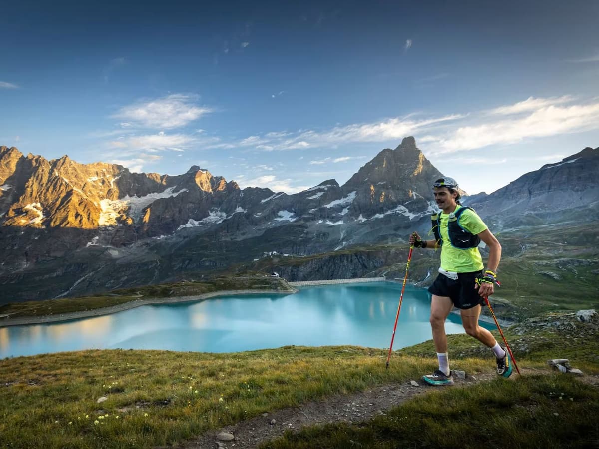
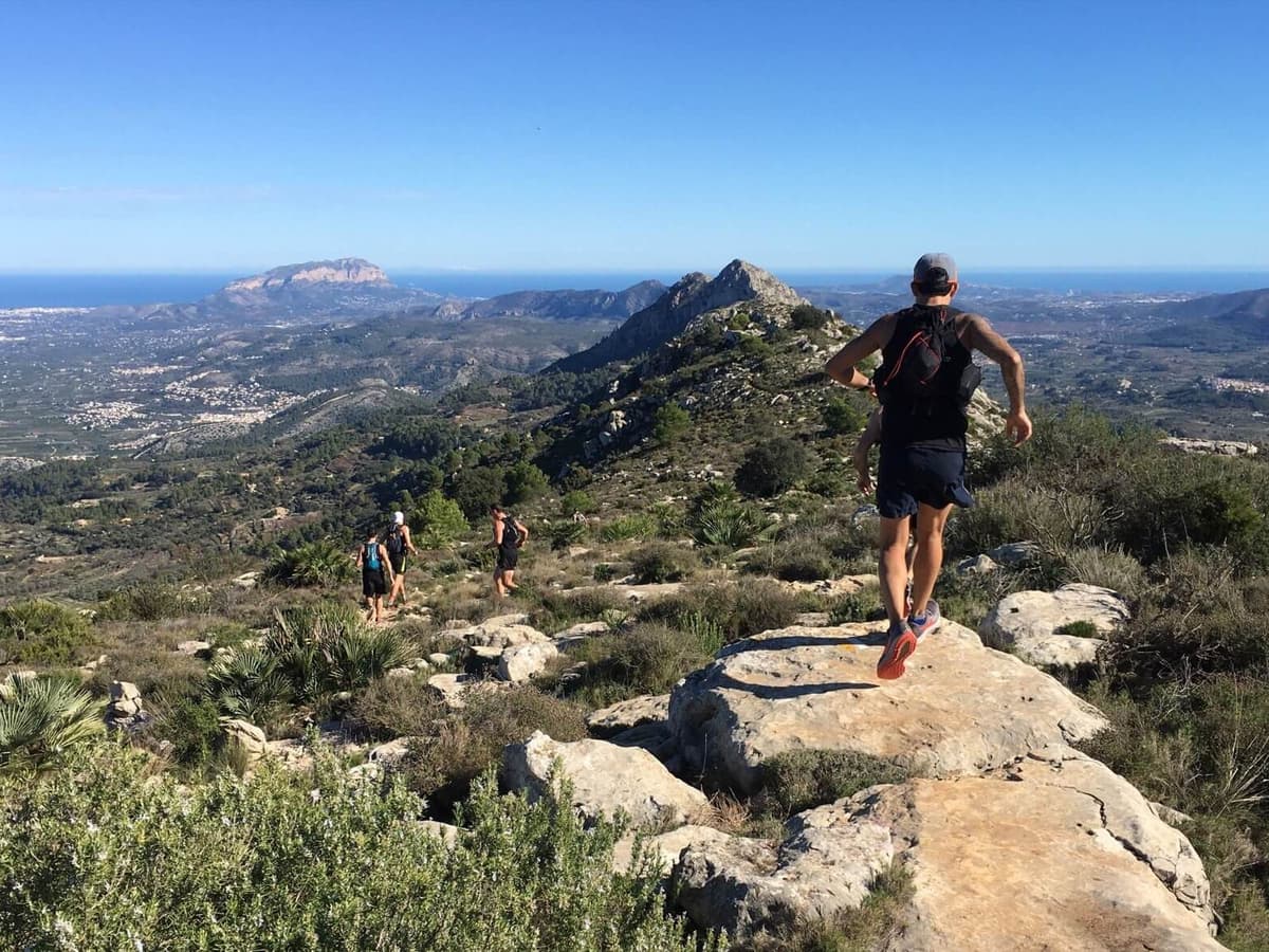
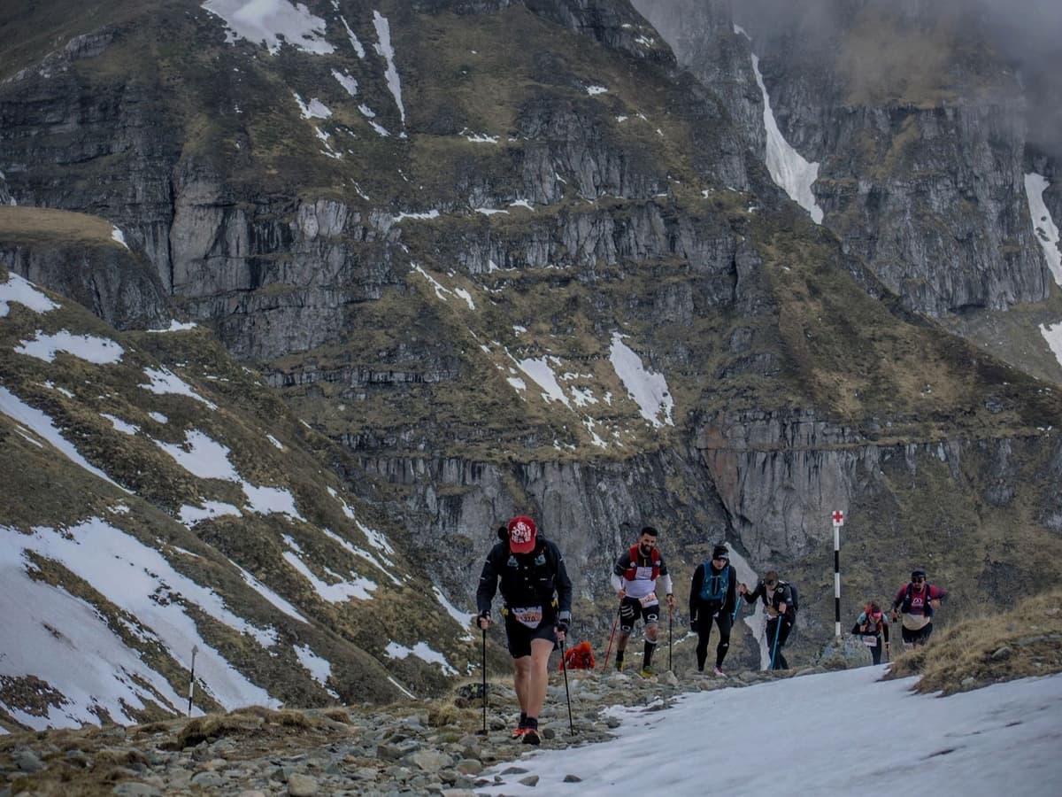
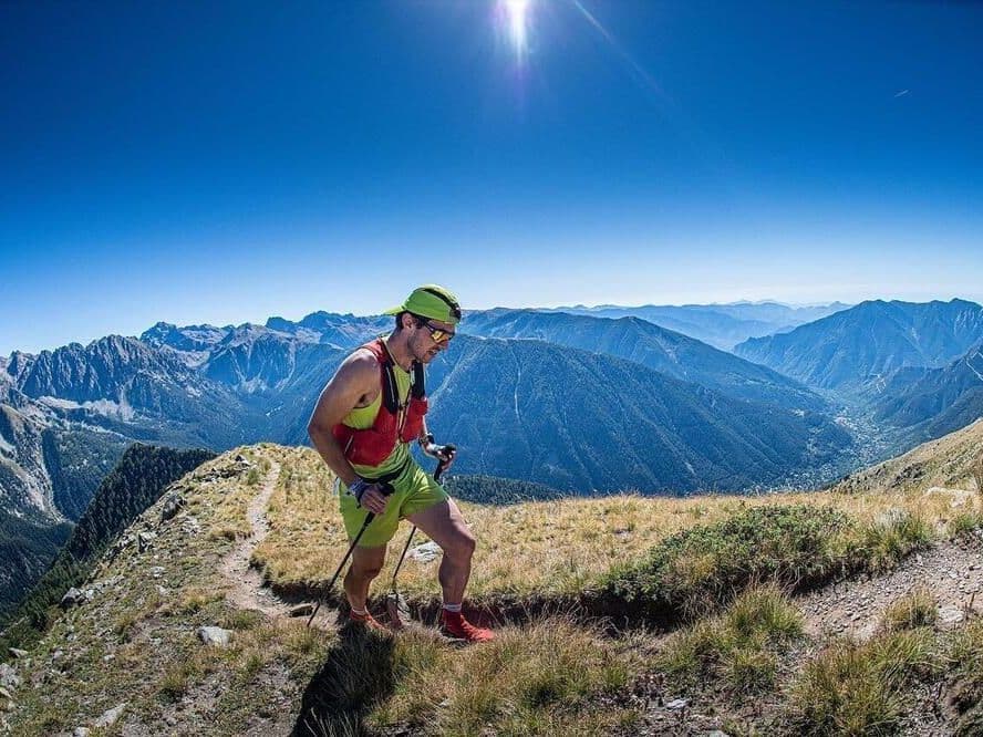
Monterosa Walserwaeg by UTMB 120 km («Les sentiers des Valdôtains») es una carrera de alta montaña que se disputa del 17 al 19 de julio de 2026, con salida en Aosta y recorrido por el valle del Lys, en el Valle de Aosta, Italia, entre los macizos del Cervino y Monte Rosa. Pasa por pueblos de montaña walser y termina en Gressoney-La-Trinité.
El recorrido suma 120 km y 7.400 m D+ (61,7 m/km), en el mismo nivel extremo que Mestia Ultra, en el Cáucaso. Con una pendiente media de subida ponderada por distancia del 15,2 % —dentro del 1–2 % más duro de la base DTR—, 15,1 km de terreno por encima del 20 % y una tasa de abandono del 38,6 % en 2025, es una de las ultras de 120 km más exigentes de la base.
La inscripción cuesta 240 € más la comisión administrativa del 8 % de UTMB (259 € efectivos / 2,16 €/km). Turín (TRN) está a 1,5–3,5 horas por carretera, por lo que figura como IS FAR. Ediciones anteriores se han agotado; las inscripciones de 2026 seguían abiertas en la fecha de investigación. Está dirigida a ultrarunners de montaña experimentados que quieran clasificación UTMB 100M bajo la sombra del Monte Rosa.