SUIZA · Bernese Oberland
Eiger Ultra Trail E250 250km: solo por equipos, sin balizaje y entre nueve cumbres de 4.000m
Datos clave
Distancia
250 km
Fecha
Precio de inscripción
598 CHF
€ / km
€2.61
Nueva fecha pendiente
Esta carrera ya ha tenido lugar. La fecha de la próxima edición está pendiente.
UTMB in the Jungfrau: towering peaks, huge climbs, and high-alpine drama around Grindelwald.
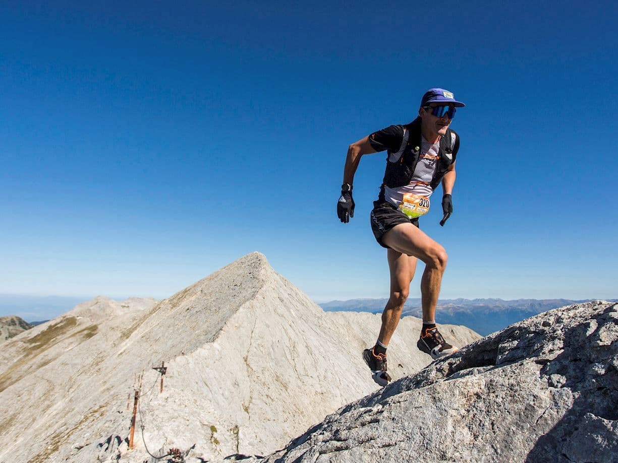
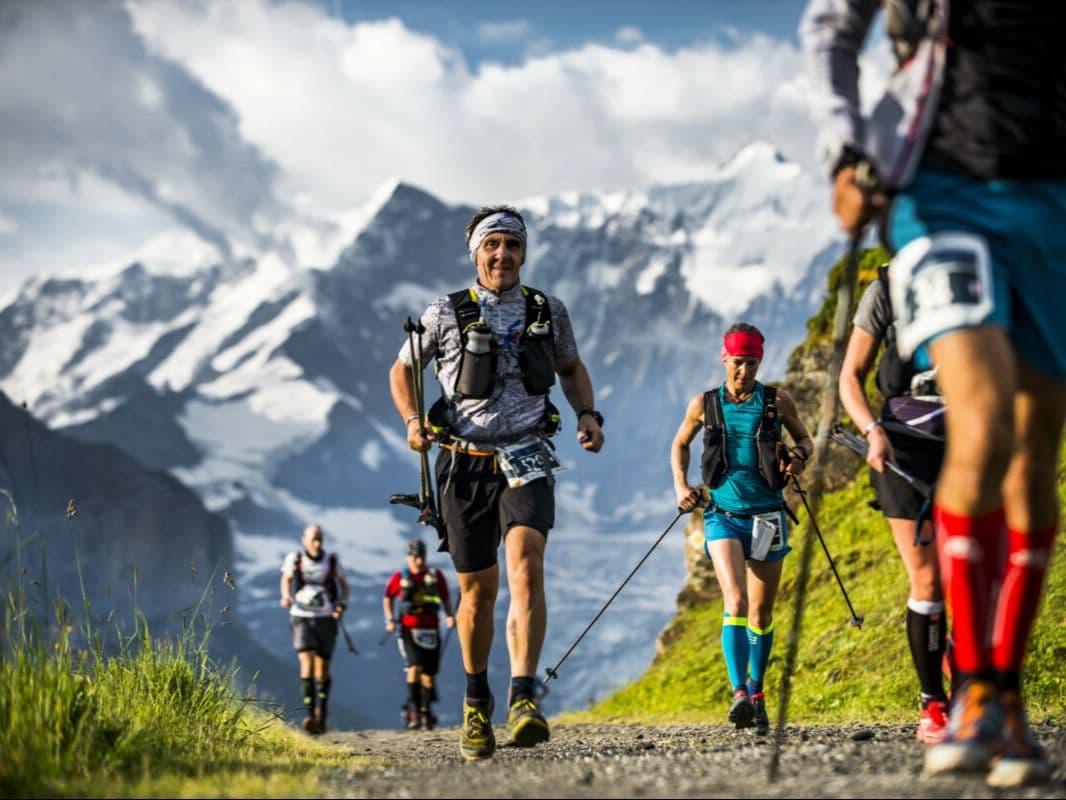
The Eiger Ultra Trail by UTMB E250 is a 250 km team trail race held in July in the Bernese Oberland, Switzerland. The course gains 18,000 m over 250 km (72 m/km), starting and finishing in Grindelwald, and circumnavigating the UNESCO World Heritage Swiss Alps Jungfrau-Aletsch site — nine 4,000 m peaks and the 23 km Aletsch glacier, the largest in the Alps. Entry costs CHF 598.40 per runner (~€2.61/km), allocated by lottery — the 2026 edition is sold out. Entry is by team only: 2 or 3 runners race together throughout with no solo entry permitted. The biggest descent drops 1,596 m over 10.95 km — the 10th largest single descent of 386 European trail distances in the DTR database. The biggest climb rises 1,598 m — the 20th largest single ascent of 385 European distances. 28.71 km of uphill terrain exceeds 20% gradient. The route carries no markings; teams navigate entirely by GPS across glaciers, passes, and remote alpine valleys. Four life bases provide hot food and sleeping space. Nearest airport is Zürich (ZRH), approximately 179 minutes by train. Now in its fourth edition in 2026, the E250 suits teams of experienced alpine runners seeking an expedition-style 100-hour challenge through a UNESCO World Heritage landscape.
Elevación y Terreno
Metros totales
18,000m
D+/KM
72.0m/km
Como referencia, el circuito Tor des Géants de 330 km tiene 73 D+/km.
Pendiente media de subida
14.8%
Pendiente media de bajada
-15.1%
Distribución del gradiente de subida
| 2–5% | 21.8 km | |
|---|---|---|
| 5–10% | 25.5 km | |
| 10–15% | 19.8 km | |
| 15–20% | 13.9 km | |
| 20%+ | 28.7 km |
Perfil de ruta
AnalysedDesglose del terreno
| 41.3% | Subida |
|---|---|
| 18.2% | Llano |
| 40.6% | Bajada |
Terreno
Ascensos

Principales ascensos
| Rank | Length | Elevation gain | Start km | Average gradient | Max gradient |
|---|---|---|---|---|---|
| 1 | 12 km · 1598 m gain starts km 147 · avg 13.3% · max 61.8% | ||||
| 2 | 9.2 km · 1422 m gain starts km 25 · avg 15.5% · max 51.7% | ||||
| 3 | 15.4 km · 1343 m gain starts km 242 · avg 8.7% · max 72.7% |
Principales descensos
| Rank | Length | Elevation drop | Start km | Average gradient | Max gradient |
|---|---|---|---|---|---|
| 1 | 13.2 km · 1679 m drop starts km 83 · avg -12.7% · max -52.5% | ||||
| 2 | 11 km · 1596 m drop starts km 44 · avg -14.6% · max -79.6% | ||||
| 3 | 23.5 km · 1461 m drop starts km 214 · avg -6% · max -55.8% |
Eiger Ultra Trail E250 250km: solo por equipos, sin balizaje y entre nueve cumbres de 4.000m
The Eiger Ultra Trail by UTMB E250 is a 250 km team trail race held in July in the Bernese Oberland, Switzerland. The course gains 18,000 m over 250 km (72 m/km), starting and finishing in Grindelwald, and circumnavigating the UNESCO World Heritage Swiss Alps Jungfrau-Aletsch site — nine 4,000 m peaks and the 23 km Aletsch glacier, the largest in the Alps.
Entry is by team only: 2 or 3 runners race together throughout with no solo entry permitted. Entry costs CHF 598.40 per runner (~€2.61/km), allocated by lottery — the 2026 edition is sold out.
The biggest descent drops 1,596 m over 10.95 km — the 10th largest single descent of 386 European trail distances in the DTR database. The biggest climb rises 1,598 m — the 20th largest single ascent of 385 European distances. 28.71 km of uphill terrain exceeds 20% gradient.
The route carries no markings; teams navigate entirely by GPS across glaciers, passes, and remote alpine valleys. Four life bases provide hot food and sleeping space.
Nearest airport is Zürich (ZRH), approximately 179 minutes by train. Now in its fourth edition in 2026, the E250 suits teams of experienced alpine runners seeking an expedition-style 100-hour challenge through a UNESCO World Heritage landscape.
¿Qué dificultad tiene la Eiger Ultra Trail E250? Perfil, subidas y datos GPX▼
P: ¿Qué dificultad tiene la Eiger Ultra Trail E250? R: Es excepcionalmente dura. Recorre 250km con 18.000m D+ —72m/km— dentro de un tiempo límite de 100 horas. La mayor bajada pierde 1.596m en 10,95km, la décima mayor entre 386 distancias europeas. La mayor subida gana 1.598m, la vigésima entre 385. Hay 28,71km de subida por encima del 20 %. El recorrido no está balizado y los equipos navegan únicamente por GPS entre glaciares, collados y valles remotos. En 2024 se disputó sobre 254km y 14.945m D+ después de que la nieve tardía y los desprendimientos obligaran a modificar el trazado 48 horas antes de la salida.
Por qué la E250 exige participar en equipo y qué supone durante la carrera▼
P: ¿Por qué la E250 es una carrera por equipos? R: El formato fue una decisión deliberada del director de carrera Ralph Naef, guía de montaña y responsable de búsqueda y rescate en Grindelwald. La infraestructura alpina suiza no podía sostener una carrera de 250km completamente asistida a esta escala; el sistema por equipos y con navegación GPS la hizo viable. Los equipos de dos o tres corredores deben permanecer juntos durante toda la prueba y cuentan con cuatro bases de vida, con comida caliente y espacio para dormir, y diez avituallamientos. No se permite la participación individual. [Reportaje: Run the Alps / Doug Mayer, runthealps.com, 2021]
Cómo clasificarse y participar en el sorteo de la E250▼
P: ¿Cómo se entra en la Eiger Ultra Trail E250? R: El acceso se realiza exclusivamente por sorteo. Para 2026, el periodo de solicitud fue del 22 al 29 de septiembre de 2025; los resultados se publicaron el 1 de octubre y la confirmación debía completarse antes del 6 de octubre. La edición de 2026 está agotada. El dorsal cuesta 598,40 CHF en el tramo 1 o 637,65 CHF en el tramo 2 por corredor, incluidos IVA y una comisión de gestión del 10 %. Es probable que se exijan UTMB Running Stones; confirma el umbral vigente en eiger.utmb.world. El límite es de unos 50 equipos, aproximadamente 150 corredores.
Cómo llegar a la Eiger Ultra Trail desde el aeropuerto de Zúrich▼
P: ¿Cómo se llega a Grindelwald desde el aeropuerto de Zúrich? R: El aeropuerto de Zúrich (ZRH) queda a unos 179 minutos en tren de Grindelwald, normalmente con enlaces en Berna e Interlaken Ost. Ginebra (GVA) es una alternativa con un tiempo similar vía Berna. Grindelwald es una importante estación del Jungfrau con excelentes conexiones de transporte público, por lo que no hace falta coche. El alojamiento se llena pronto y es caro. Conviene reservar con varios meses de antelación.
Archivos de carrera
Logística
Aeropuerto más cercano
Zürich (ZRH) / Geneva (GVA) / Bern (BRN)
Notas
Start: ~2–3 hrs by train to Grindelwald (ZRH/GVA) / Public transport: excellent (train to Grindelwald) / Accommodation: strong but expensive in Jungfrau region; book early