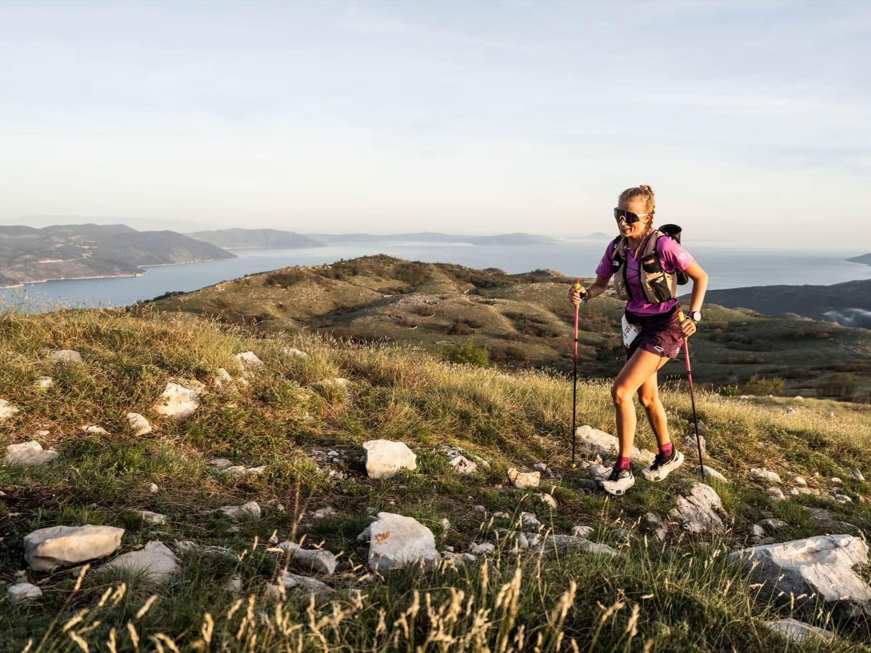
CROATIE · Istria County
Distance
43 km
Date
Droit d’inscription
135
€ / km
14,10 €
Istria 100 by UTMB – 42.5 km
Élévation et Terrain
Mètres totaux
1 153m
D+/KM
27,1m/km
Pour référence, le Tor des Géants 330 km a 73 D+/km.
Pente montante moyenne
8,6%
Pente descendante moyenne
-6,0%
Distribution du gradient de montée
| 2–5% | 2,9 km | |
|---|---|---|
| 5–10% | 3,1 km | |
| 10–15% | 1,7 km | |
| 15–20% | 0,8 km | |
| 20%+ | 0,6 km |
Profil de parcours
AnalysedDétail du terrain
| 21,3% | Montée |
|---|---|
| 44,8% | Plat |
| 34,0% | Descente |
Terrain
Istria 100 by UTMB – 42.5 km 43km Principales montées
Principales montées
| 1 | 2,6 km · 353 m gain starts km 5 · avg 13,5% · max 22,6% |
|---|---|
| 2 | 4,6 km · 270 m gain starts km 13 · avg 5,8% · max 14,2% |
| 3 | 1,0 km · 92 m gain starts km 0 · avg 9,6% · max 19,0% |
Principales descentes
| 1 | 4,4 km · 271 m drop starts km 8 · avg -6,2% · max -12,3% |
|---|---|
| 2 | 3,0 km · 237 m drop starts km 1 · avg -7,8% · max -19,2% |
| 3 | 2,6 km · 119 m drop starts km 29 · avg -5,0% · max -8,9% |
Tracé GPX du Istria 100 by UTMB – 42.5 km 43km
Comment se rendre à Istria 100 by UTMB – 42.5 km
Aéroport le plus proche
Pula (PUY) / Trieste (TRS) / Ljubljana (LJU)
Notes
Départ : ~45 min–2 h en voiture ; centre de l’événement à Umag ; le 168K relie Labin à Umag / Transports publics : possibles via bus/train jusqu’à Pula ou Trieste puis bus ; voiture plus simple / Hébergement : bonne offre dans les villes côtières ; plus limitée à l’intérieur des terres