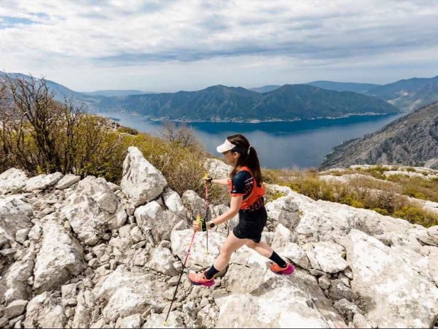
Montenegro · Boka Kotorska (Kotor Bay)
Distance
60 km
Date
Droit d’inscription
55 €
€ / km
0,92 €
Boka Bay Trail – 60 km
Élévation et Terrain
Mètres totaux
3 000m
D+/KM
50,0m/km
Pour référence, le Tor des Géants 330 km a 73 D+/km.
Pente montante moyenne
9,0%
Pente descendante moyenne
-10,1%
Distribution du gradient de montée
| 2–5% | 5,8 km | |
|---|---|---|
| 5–10% | 11,2 km | |
| 10–15% | 7,6 km | |
| 15–20% | 2,0 km | |
| 20%+ | 0,6 km |
Profil de parcours
AnalysedDétail du terrain
| 46,4% | Montée |
|---|---|
| 12,0% | Plat |
| 41,6% | Descente |
Terrain
Boka Bay Trail – 60 km 60km Principales montées
Principales montées
| 1 | 11,6 km · 1 097 m gain starts km 0 · avg 9,4% · max 17,3% |
|---|---|
| 2 | 3,6 km · 434 m gain starts km 34 · avg 12,0% · max 20,5% |
| 3 | 4,1 km · 230 m gain starts km 45 · avg 5,6% · max 80,4% |
Principales descentes
| 1 | 9,0 km · 1 015 m drop starts km 50 · avg -11,3% · max -25,7% |
|---|---|
| 2 | 6,5 km · 520 m drop starts km 17 · avg -8,1% · max -19,8% |
| 3 | 2,4 km · 251 m drop starts km 30 · avg -10,0% · max -16,0% |
Tracé GPX du Boka Bay Trail – 60 km 60km
Comment se rendre à Boka Bay Trail – 60 km
Aéroport le plus proche
Tivat (TIV) / Dubrovnik (DBV) / Podgorica (TGD)
Notes
Départ : ~10–20 min (TIV) jusqu’au secteur de départ de Porto Montenegro à Tivat ; ~1 h 30–2 h 30 (DBV) avec passage de frontière ; ~1 h 30–2 h 30 (TGD) / Transports publics : bus possibles autour de la baie ; taxi ou voiture plus simples pour respecter les horaires de course / Hébergement : bonne offre à Tivat, Kotor et Herceg Novi ; réservez tôt en avril