SUISSE · Ticino
Scenic Trail 120km -- 8,700m D+, Rank 37/~390 D+/km, and a Back-to-Back Climb Block Through Ticino's Alpine Ridges
Informations clés
Distance
120 km
Date
Droit d’inscription
174 CHF
€ / km
€1.58
Nouvelle date en attente
Cette course a déjà eu lieu. La date de la prochaine édition est en attente.
Swiss postcard trails: big mountain views, polished organization, and friendly alpine village vibes.
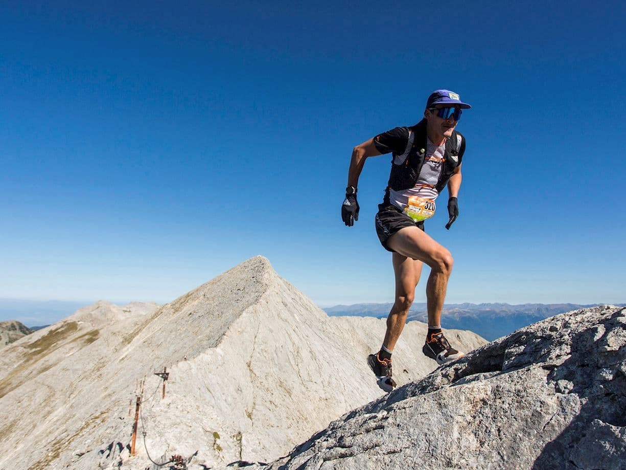
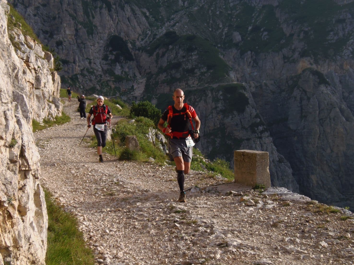
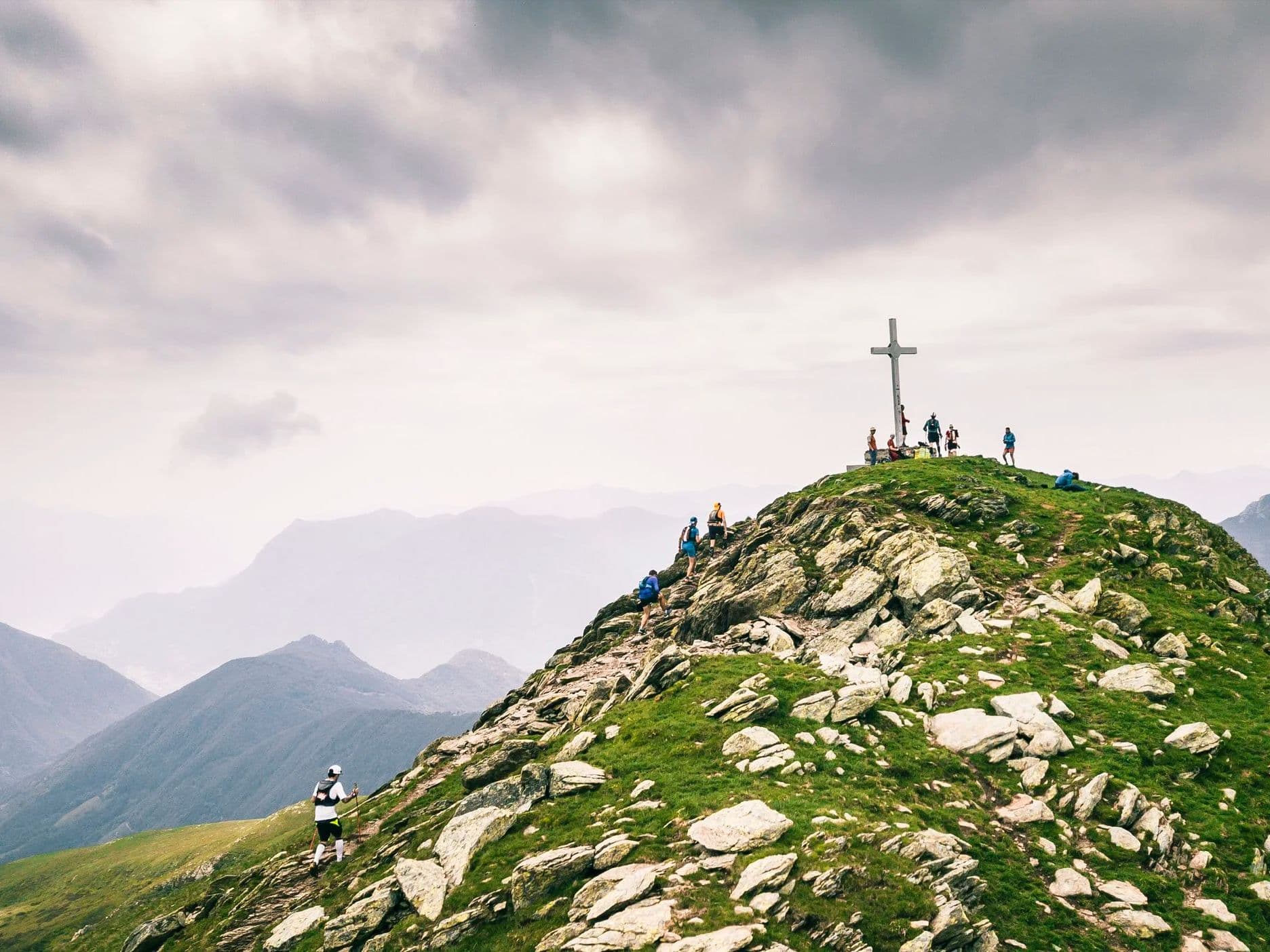
Scenic Trail K120 launches from Tesserete in Switzerland's Italian-speaking Ticino canton and climbs 8,700m across 120km of alpine terrain along the Denti della Vecchia ridge -- a borderline between Switzerland and Italy -- passing Monte Bar and Gazzirola with views of both Lake Como and Lake Lugano. With only 9.5% flat terrain (approximately 11.4km in 120km), the course offers almost no recovery buffer between its major climbs and descents. Three major ascents arrive in a 27km mid-race block between km 41 and km 68, including a back-to-back pairing where a 649m climb at 19.9% average gradient feeds directly into a 737m climb at 18.5% average over 10km (Top1Ascent rank 46/~390). The 16.5% distance-weighted average uphill gradient (rank 37/~390 -- top 10%) is upper-tier for any distance class. The largest single descent drops 1,333m over 10km from km 32 (rank 15/~390 -- only 14 courses in the database have a bigger single drop). Roughly 3,000 runners from 70+ nations enter across six distances; the K120 sees around 72 finishers. The race has won the Swiss Ultra Trail Award multiple times. Next edition expected June 2027.
Élévation et Terrain
Mètres totaux
8,700m
D+/KM
72.5m/km
Pour référence, le Tor des Géants 330 km a 73 D+/km.
Pente montante moyenne
16.5%
Pente descendante moyenne
-15.4%
Distribution du gradient de montée
| 2–5% | 6.7 km | |
|---|---|---|
| 5–10% | 10.4 km | |
| 10–15% | 8.1 km | |
| 15–20% | 9.2 km | |
| 20%+ | 17 km |
Profil de parcours
AnalysedDétail du terrain
| 43.8% | Montée |
|---|---|
| 9.5% | Plat |
| 46.7% | Descente |
Terrain
Ascensions

Principales montées
| Rank | Length | Elevation gain | Start km | Average gradient | Max gradient |
|---|---|---|---|---|---|
| 1 | 4 km · 737 m gain starts km 58 · avg 18.5% · max 71.3% | ||||
| 2 | 5.9 km · 674 m gain starts km 41 · avg 11.4% · max 47.5% | ||||
| 3 | 3.3 km · 649 m gain starts km 53 · avg 19.9% · max 57.3% |
Principales descentes
| Rank | Length | Elevation drop | Start km | Average gradient | Max gradient |
|---|---|---|---|---|---|
| 1 | 10 km · 1333 m drop starts km 32 · avg -13.3% · max -38.8% | ||||
| 2 | 4.4 km · 806 m drop starts km 62 · avg -18.2% · max -43.3% | ||||
| 3 | 4.1 km · 729 m drop starts km 100 · avg -18% · max -50.4% |
Scenic Trail 120km -- 8,700m D+, Rank 37/~390 D+/km, and a Back-to-Back Climb Block Through Ticino's Alpine Ridges
Why Does Scenic Trail 120km Have Only 11.4km of Flat Terrain -- 9.5% Flat, 17km Above 20% Gradient, and What 90.5% Active-Gradient Terrain Means for 120km Race Pacing▼
Q: Why does Scenic Trail 120km have only 11.4km of flat terrain, and what does 90.5% active-gradient terrain mean for pacing across 120km? A: The Scenic Trail K120's 9.5% flat (rank 163/~390 in the DTR database -- 162 courses less flat, ~227 flatter) means approximately 11.4km of non-gradient terrain across 120km. The dominant gradient band above 20% (17.0km) is the single largest gradient category, exceeding every gentler band (2-5%: 6.7km; 5-10%: 10.4km; 10-15%: 8.1km; 15-20%: 9.2km). The terrain is defined by the Denti della Vecchia ridge -- the Switzerland-Italy border -- where alpine topography produces abrupt transitions between climbing and descending with almost no flat transitional ground. The 16.5% DW average uphill (rank 37/~390 -- top 10%, UPPER tier) and -15.4% DW average downhill (rank 331/~390 inverted -- near steepest in database) are the product of this structure: extreme gradient in both directions is the norm, not the exception. Pacing on the 9.5% flat is secondary to managing the five major climbs and three major descents that consume virtually all of the 120km.
The Back-to-Back Climb Block at km 53-68: 1,386m of Consecutive UPPER-Tier Climbing With Under 1km Gap and No Recovery Between Them▼
Q: What happens at the back-to-back climb block between km 53 and km 68 of Scenic Trail K120? A: Three major climbs arrive in the 27km stretch between km 41 and km 68. Climb 2 (674m / 11.4% avg / 5.91km) begins at km 41.3. Climb 3 (649m / 19.9% avg / 3.27km -- UPPER tier, deeper into the 15%+ band than the DW average) begins at km 53.3. The Top1Ascent -- 737m / 18.5% avg / 9.99km (rank 46/~390) -- begins at km 57.5, approximately 1km after Climb 3 ends. Climbs 3 and 1 back-to-back deliver 1,386m of gain from km 53 to approximately km 67.5 with less than 1km of gap between them. With only 9.5% flat terrain throughout (rank 163/~390), runners enter this block carrying gradient debt from the preceding 52km. After the block, Descent 2 (806m / -18.2% avg -- UPPER tier) begins almost immediately. The sequence: climb 1,386m at extreme gradient, descend 806m at -18.2%, on legs that have already absorbed 5,500m+ of prior elevation work.
How Should You Train for the Scenic Trail 120km -- 16.5% Average Uphill (Rank 37/~390), Top1Descent Rank 15/~390, and Sustained UPPER-Tier Gradient Across a Full 120km▼
Q: How should you train for the Scenic Trail 120km -- 16.5% average uphill, near-steepest average downhill in the database, and back-to-back UPPER-tier climbs? A: The Scenic Trail K120's 16.5% DW average uphill (rank 37/~390 -- top 10%) is UPPER tier at 120km distance. Standard recommendations for races at this gradient tier: prioritise vertical gain per week over raw distance; train back-to-back long efforts that simulate arriving at steep climbing on fatigued legs (the km 53-68 block arrives after 52km); train specifically on gradients at and above 15% for extended durations (the 18.5% avg Climb 1 runs 9.99km). The -15.4% DW average downhill (rank 331/~390 inverted -- near steepest in the database) demands equal technical descent preparation: Descent 2 (-18.2% avg) and Descent 3 (-18.0% avg) arrive mid-race and late when quads are already depleted. Poles are essential for Climb 3 (19.9% avg) and Climb 1 (18.5% avg). No K120 English-language race reports exist; K54 reports describe 'relentless uphills on the first half, relentless downhills on the second.'
Is the Scenic Trail K120 Worth Entering in 2027 -- CHF 174 Entry, a 72-Person Field, Swiss Ultra Trail Award, and Views of Lake Como and Lake Lugano From the Ridge▼
Q: Is the Scenic Trail K120 worth entering in 2027 -- CHF 174 entry, a 72-person field, and how does it compare to other Swiss alpine ultras? A: The Scenic Trail K120 costs CHF 174 plus a CHF 6.99 ENDU service fee (approximately EU1.58/km) -- competitive for a Swiss mountain ultra at this gradient profile (rank 37/~390 D+/km, rank 15/~390 for Top1Descent, rank 37/~390 for AvgUphill). The K120 field is very small (~72 finishers in 2025, ~75 in 2024 -- both LOW CONFIDENCE), making it one of the most intimate 120km events in Europe. The broader event draws ~3,000 runners from 70+ nations across six distances. The Swiss Ultra Trail Award recognition and the Denti della Vecchia ridgeline -- Switzerland-Italy border, views of Lake Como and Lake Lugano -- give it a setting and reputation that exceed its current English-language profile. No K120 English-language race reports exist. The event does not typically sell out but registration closes late May for the June start -- check scenictrail.ch for 2027 dates.
Fichiers de course
Logistique
Aéroport le plus proche
Milan Malpensa (MXP) / Zürich (ZRH)
Notes
Start: ~1–2 hrs (MXP) or ~2.5–3.5 hrs (ZRH) / Public transport: Possible via Lugano + local bus/taxi; car easier / Accommodation: Good around Lugano; race weekend can fill