Skip to content
"Kaiserkrone Trail
" 56.1 km trail running route — Austria · Tyrol

AUTRICHE · Tyrol

How Technical Is the Kaiserkrone Trail 56km? (Wet Limestone, Exposed Ridges, and the Wilder Kaiser Massif)

Distance

56 km

Date

Droit d’inscription

89 EUR

€ / km

€1.59

📅

Nouvelle date en attente

Cette course a déjà eu lieu. La date de la prochaine édition est en attente.

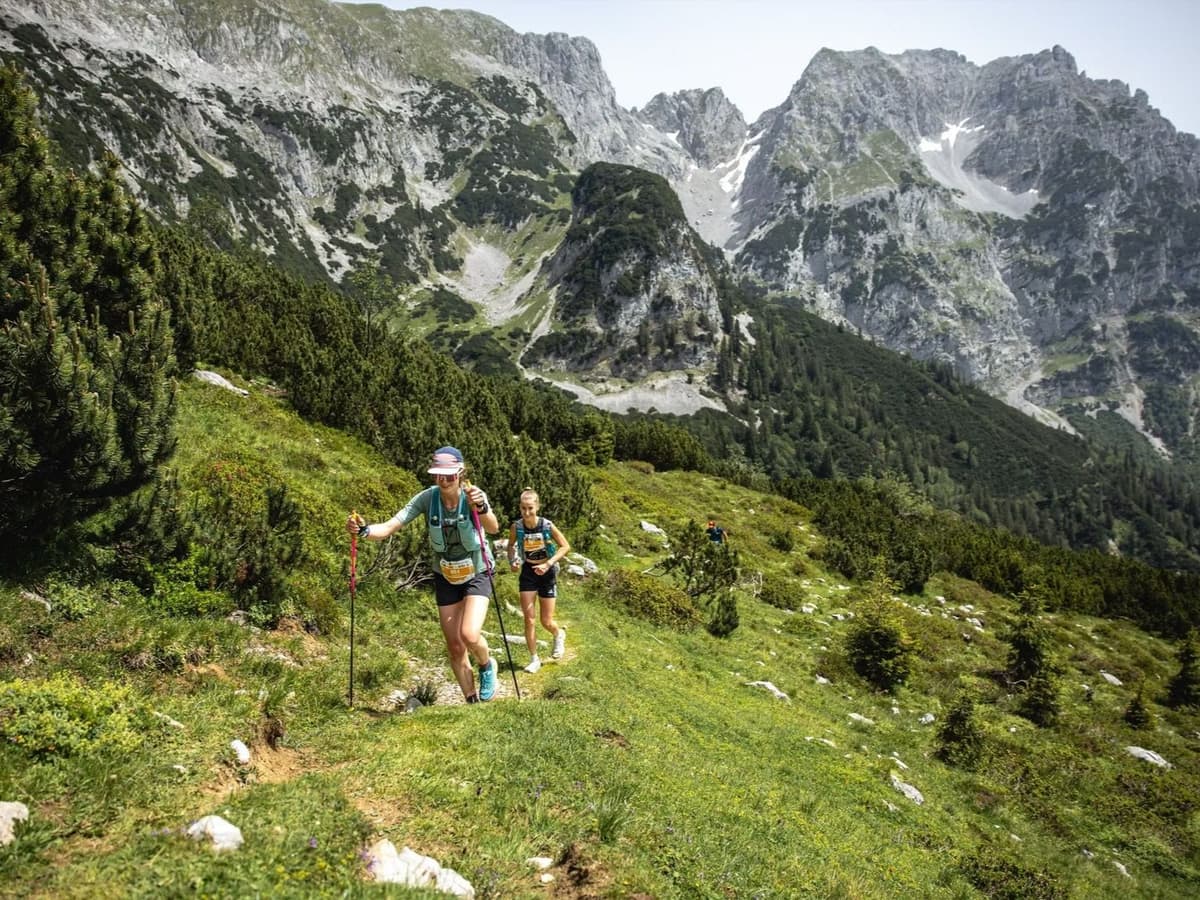
Kaiser Mountains drama: jagged limestone, punchy climbs, and postcard singletrack around Ellmau/Scheffau.

Kaiserkrone Trail 56.1 km is a loop trail race held on June 27, 2026, circumnavigating the Wilder Kaiser limestone massif in Tyrol, Austria. The course covers 56.1 km with approximately 3,640 m of gain (~65 m/km), tracing technical Alpine singletrack through the Kaisergebirge, passing the Stripsenjochhaus hut at 1,575 m and the Hintersteinersee lake, and reaching a high point of approximately 1,704 m on jagged, exposed limestone ridges. Entry costs €99 from May 2026 — approximately €1.76 per kilometre. Innsbruck (INN), Salzburg (SZG), and Munich (MUC) are all within 71 minutes to two hours by road. Racing since 2021 (originally 2017; COVID-era pause), the race has grown from 88 finishers in 2024 to 107 in 2025 (+22%). Both the Ultra 56k and Skyrace carry UTMB Index status. June is the wettest month at Wilder Kaiser — ~60% daily rain probability and slippery limestone underfoot. Slots available for 2026. Suits technically confident Alpine runners comfortable on exposed, wet limestone seeking a UTMB qualifier within reach of three central European airports.

Élévation et Terrain

Mètres totaux

3,930m

D+/KM

70.1m/km

Pour référence, le Tor des Géants 330 km a 73 D+/km.

Pente montante moyenne

15.5%

Pente descendante moyenne

-16.3%

Distribution du gradient de montée

"Kaiserkrone Trail " 56 km — uphill gradient distribution (GPX-derived, analysed 2026-05-02)
2–5%
9.2 km
5–10%
14.3 km
10–15%
15.7 km
15–20%
9.8 km
20%+
16.1 km

Profil de parcours

Analysed

Détail du terrain

"Kaiserkrone Trail " 56 km — terrain breakdown (GPX-derived, analysed 2026-05-02)
46.6%Montée
9.2%Plat
44.2%Descente

Terrain

Alpine

Ascensions

"Kaiserkrone Trail
" climbs and descents profile

Principales montées

"Kaiserkrone Trail " 56 km — top climbs (GPX-derived, analysed 2026-05-02)
1

3.8 km · 1095 m gain

starts km 33 · avg 29.2% · max 92.6%

2

2.3 km · 760 m gain

starts km 45 · avg 32.5% · max 142.7%

3

3.8 km · 721 m gain

starts km 101 · avg 19.2% · max 48%

Principales descentes

"Kaiserkrone Trail " 56 km — top descents (GPX-derived, analysed 2026-05-02)
1

6.4 km · 1314 m drop

starts km 47 · avg -20.5% · max -102.7%

2

4.5 km · 1172 m drop

starts km 37 · avg -26.2% · max -79.9%

3

5.9 km · 874 m drop

starts km 15 · avg -15% · max -63.6%

How Technical Is the Kaiserkrone Trail 56km? (Wet Limestone, Exposed Ridges, and the Wilder Kaiser Massif)

Course Profile — Circumnavigating the Kaisergebirge: Stripsenjochhaus, Hintersteinersee, and ~65 m/km

Q: Is the Kaiserkrone Trail a UTMB qualifier? | A: Yes — both the Kaiserkrone Ultra 56k and the Kaiserkrone Skyrace carry UTMB Index status. Check kaiserkrone.run or the UTMB Index for current point values and qualifying details.

€1.76 per Kilometre for a UTMB Index Qualifier in the Austrian Alps

Q: When does the 2026 Kaiserkrone Trail take place? | A: Race weekend is June 26–27, 2026, in Scheffau am Wilden Kaiser, Tyrol. The Ultra 56k runs on June 27. Start and finish are in the village centre at the Scheffau Dorf bus stop.

Getting to the Kaiserkrone Trail: Innsbruck, Salzburg, Munich, and the Train to Kufstein

Q: Is the Kaiserkrone Trail 56km sold out for 2026? | A: No — 76 slots remained as of February 2026, with no subsequent sell-out update. Check kaiserkrone.run or time2win.at for current availability.

Who Should Run the Kaiserkrone Trail 56km?

Q: Which airport should I use for the Kaiserkrone Trail? | A: Innsbruck (INN) and Salzburg (SZG) are both approximately 71 minutes by road — the closest options. Munich (MUC) is around 1.5–2 hours. Public transport via train to Kufstein, then bus or taxi to Scheffau am Wilden Kaiser, is also viable.

Fichiers de course

Logistique

Aéroport le plus proche

Innsbruck (INN) / Salzburg (SZG) / Munich (MUC)

Notes

Start: INN ~1 hr; SZG ~1 hr; MUC ~1.5–2 hrs / Public transport: Train to Kufstein + bus/taxi; car easier / Accommodation: Strong (Kaiser region)

Dernière vérification : February 23, 2026Site officiel →

Courses avec un gradient similaire