
ESPAGNE · Asturias
Ultra Trail Somiedo
Distance
47 km
Date
Droit d’inscription
83 EUR
€ / km
€1.77
Nouvelle date en attente
Cette course a déjà eu lieu. La date de la prochaine édition est en attente.
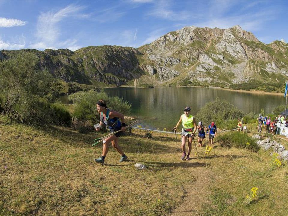
Asturias wilderness: remote mountain valleys, high meadows, and a hard-to-reach, hard-to-finish 70K.
Élévation et Terrain
Mètres totaux
2,270m
D+/KM
48.5m/km
Pour référence, le Tor des Géants 330 km a 73 D+/km.
Pente montante moyenne
13.5%
Pente descendante moyenne
-13.1%
Distribution du gradient de montée
| 2–5% | 3.6 km | |
|---|---|---|
| 5–10% | 4.6 km | |
| 10–15% | 3.4 km | |
| 15–20% | 2 km | |
| 20%+ | 3.7 km |
Profil de parcours
AnalysedDétail du terrain
| 37.9% | Montée |
|---|---|
| 14.5% | Plat |
| 47.6% | Descente |
Terrain
Ascensions
Principales montées
| 1 | 9.2 km · 974 m gain starts km 11 · avg 10.6% · max 57.6% |
|---|---|
| 2 | 3.8 km · 382 m gain starts km 6 · avg 10.2% · max 61% |
| 3 | 2 km · 216 m gain starts km 3 · avg 10.9% · max 44.4% |
Principales descentes
| 1 | 6.5 km · 538 m drop starts km 39 · avg -8.3% · max -57% |
|---|---|
| 2 | 10.3 km · 531 m drop starts km 28 · avg -5.1% · max -35.5% |
| 3 | 3.2 km · 410 m drop starts km 20 · avg -13% · max -48.9% |
Fichiers de course
Logistique
Aéroport le plus proche
Asturias/Oviedo (OVD)
Notes
Start: ~2.25–3.5 hrs drive to Somiedo (Pola de Somiedo/Valle) / Public transport: limited; bus to Oviedo/Grado area + taxi / Accommodation: limited rural supply; book early
FAR
It’ll possibly take 3+ hours from the closest large airport to arrive. Plan your adventure accordingly, take an extra day for those after-race beers or Curranz.


