Skip to content
SwissPeaks Trail 101 km trail running route — Switzerland · Valais

SUISSE · Valais

SwissPeaks Trail 101km: The Night-Start Alpine Ultra That's Steep in Both Directions

Distance

101 km

Date

Droit d’inscription

189 CHF

€ / km

€2.04

A Swiss stage-epic: endless climbs across Valais with multi-day suffering and elite scenery.

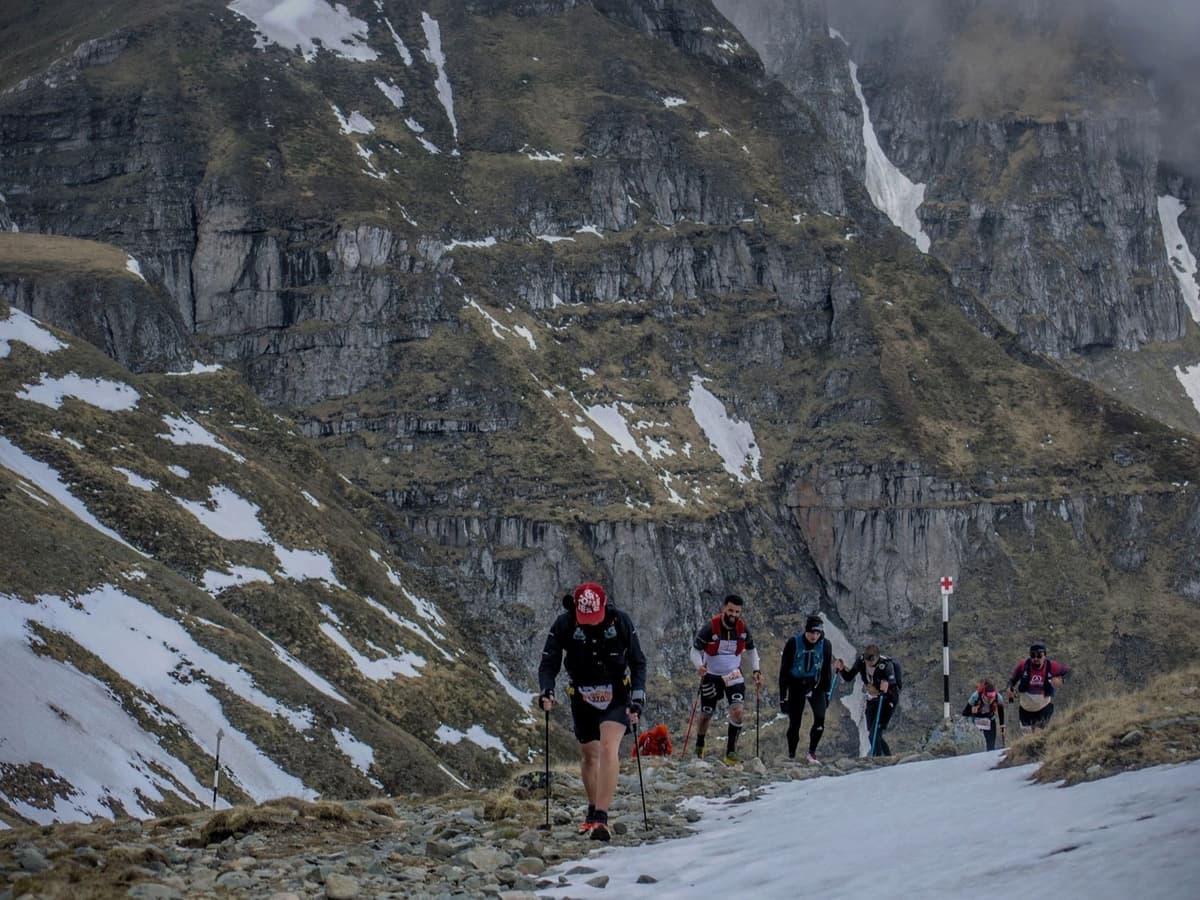
Night-start Valais alpine ultra, week after UTMB — 101km, 6,000m gain, steep in both directions (top 5% avg uphill AND downhill). Finishes on Lake Geneva. The race purpose-built for runners who don't want to go home after Chamonix.

Élévation et Terrain

Mètres totaux

6,570m

D+/KM

65.0m/km

Pour référence, le Tor des Géants 330 km a 73 D+/km.

Pente montante moyenne

15.1%

Pente descendante moyenne

-16.3%

Distribution du gradient de montée

SwissPeaks Trail 101 km — uphill gradient distribution (GPX-derived, analysed 2026-05-02)
2–5%
8.1 km
5–10%
9.9 km
10–15%
8 km
15–20%
5.8 km
20%+
12.4 km

Profil de parcours

Analysed

Détail du terrain

SwissPeaks Trail 101 km — terrain breakdown (GPX-derived, analysed 2026-05-02)
43.6%Montée
12.8%Plat
43.6%Descente

Terrain

High Alpine

Ascensions

SwissPeaks Trail climbs and descents profile

Principales montées

SwissPeaks Trail 101 km — top climbs (GPX-derived, analysed 2026-05-02)
1

6.6 km · 1070 m gain

starts km 10 · avg 16.3% · max 52.8%

2

6.3 km · 707 m gain

starts km 79 · avg 11.3% · max 56.1%

3

7.1 km · 616 m gain

starts km 41 · avg 8.7% · max 48.6%

Principales descentes

SwissPeaks Trail 101 km — top descents (GPX-derived, analysed 2026-05-02)
1

6.4 km · 958 m drop

starts km 26 · avg -15.1% · max -90.7%

2

4.6 km · 838 m drop

starts km 86 · avg -18.2% · max -61.5%

3

8.9 km · 739 m drop

starts km 48 · avg -8% · max -77.2%

SwissPeaks Trail 101km: The Night-Start Alpine Ultra That's Steep in Both Directions

How hard is the SwissPeaks 101km? (Gradient, climbs, and what steep means here)

Q: How hard is the SwissPeaks 101km? A: Very hard — by design. The course gains approximately 6,000m (official) over 101km — around 65m per kilometre, placing it in the top 20% most elevation-dense distances in DTR's database. Average uphill gradient is 15.07% (steeper than 95% of the database) and average downhill gradient is 16.32% — one of the 25 steepest descending averages in the database. Over 12km of the course climbs at greater than 20% gradient. The race starts at 20:00, so the early hours are in darkness on exposed high terrain.

Is the SwissPeaks 101km the best race to do after UTMB?

Q: What time does the SwissPeaks 101km start? A: The 101km starts at 20:00 on September 3, 2026 from Salvan in the Trient Valley. This means runners spend the first several hours in darkness on exposed high terrain before dawn. A headlamp and appropriate night-running kit are required.

What does the SwissPeaks 101km course cover? (Route and terrain)

Q: Is the SwissPeaks 101km a good race to run the week after UTMB? A: If you're fit and want to stay in the Alps — it's purpose-built for this. SwissPeaks always takes place the week after UTMB, making it a natural extension for runners already in Chamonix. The terrain is comparable in difficulty to UTMB itself; this is not a recovery run. It finishes on Lake Geneva — a very different end-point that adds its own appeal.

How much does SwissPeaks Trail cost? (Entry fee, ITRA points, and value)

Q: How much does SwissPeaks 101km cost? A: Entry is 189 CHF — approximately €2.04 per kilometre at current exchange rates. The SPTiming registration platform may add administrative or platform fees on top of the listed price, so check the final total at checkout. A 5 CHF train ticket to the start in Salvan is available when registering or up to one month before the race.

Fichiers de course

Logistique

Aéroport le plus proche

Geneva (GVA) / Zürich (ZRH)

Notes

Start: ~3–4.5 hrs (ZRH) or ~2.5–3.5 hrs (GVA) to Valais start towns (route-dependent) / Public transport: possible (train to Valais) but long; race logistics complex / Accommodation: stage/loop formats; book early in Valais. The 2026 edition was cancelled, and may affect the 2027 version.

Remote location icon

FAR

It’ll possibly take 3+ hours from the closest large airport to arrive. Plan your adventure accordingly, take an extra day for those after-race beers or Curranz.

Dernière vérification : February 19, 2026Site officiel →

Courses avec un gradient similaire