SUISSE · Ticino
Scenic Trail 54km: Switzerland's Most Vertically Intense 50K Ultra in Ticino Above Lake Lugano
Informations clés
Distance
54 km
Date
Droit d’inscription
114 CHF
€ / km
€2.30
Nouvelle date en attente
Cette course a déjà eu lieu. La date de la prochaine édition est en attente.
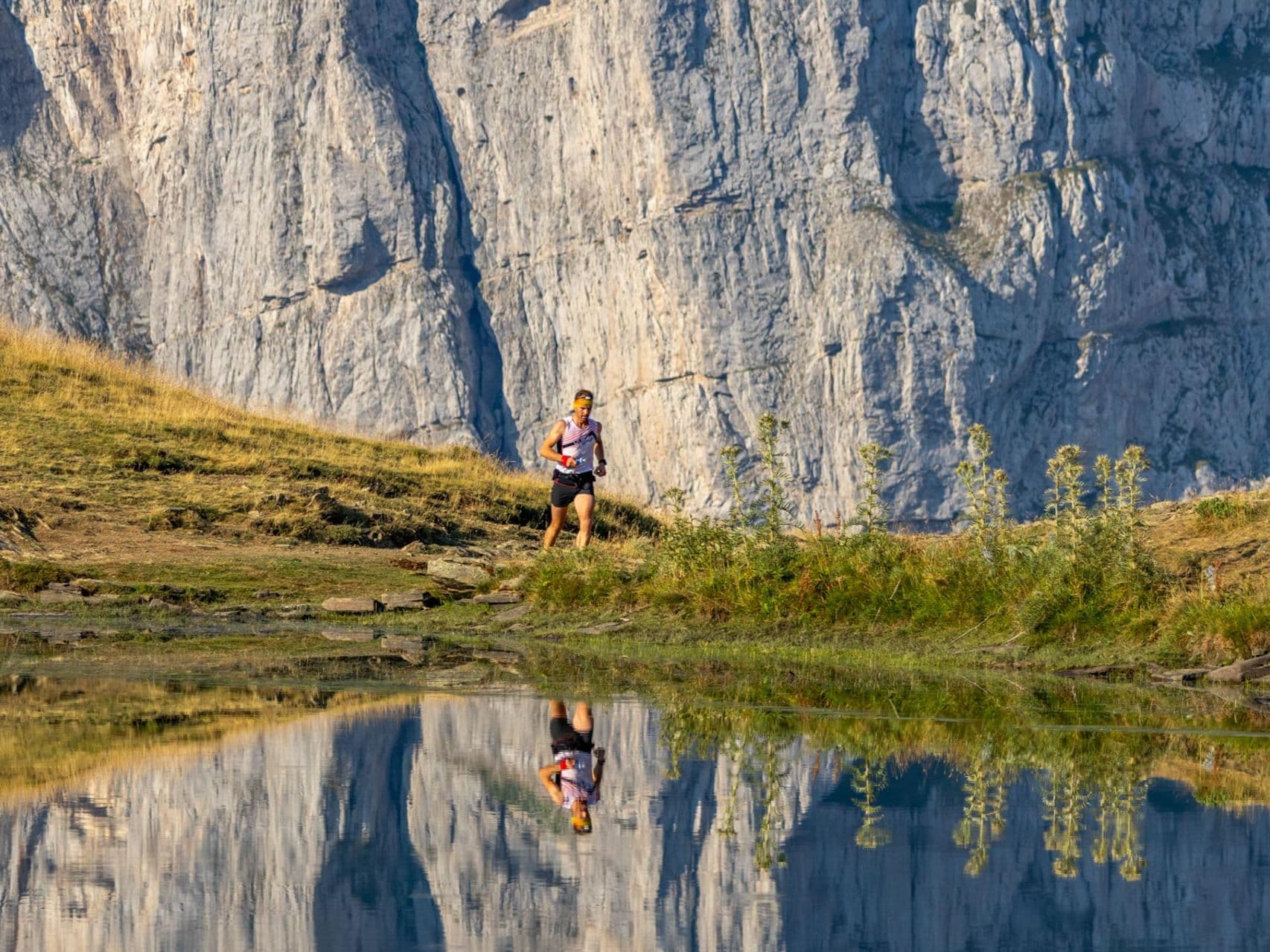
Swiss postcard trails: big mountain views, polished organization, and friendly alpine village vibes.
Élévation et Terrain
Mètres totaux
3,800m
D+/KM
70.4m/km
Pour référence, le Tor des Géants 330 km a 73 D+/km.
Pente montante moyenne
16.1%
Pente descendante moyenne
-15.8%
Distribution du gradient de montée
| 2–5% | 3 km | |
|---|---|---|
| 5–10% | 4.6 km | |
| 10–15% | 4.7 km | |
| 15–20% | 4.4 km | |
| 20%+ | 8 km |
Profil de parcours
AnalysedDétail du terrain
| 45.8% | Montée |
|---|---|
| 7.6% | Plat |
| 46.6% | Descente |
Terrain
Ascensions

Principales montées
| Rank | Length | Elevation gain | Start km | Average gradient | Max gradient |
|---|---|---|---|---|---|
| 1 | 4.9 km · 658 m gain starts km 8 · avg 13.4% · max 35.4% | ||||
| 2 | 4.7 km · 635 m gain starts km 0 · avg 13.5% · max 38.6% | ||||
| 3 | 3.9 km · 427 m gain starts km 17 · avg 10.9% · max 39.6% |
Principales descentes
| Rank | Length | Elevation drop | Start km | Average gradient | Max gradient |
|---|---|---|---|---|---|
| 1 | 4.1 km · 728 m drop starts km 36 · avg -18% · max -50.4% | ||||
| 2 | 5 km · 610 m drop starts km 20 · avg -12.3% · max -35.7% | ||||
| 3 | 6.5 km · 594 m drop starts km 42 · avg -9% · max -39% |
Scenic Trail 54km: Switzerland's Most Vertically Intense 50K Ultra in Ticino Above Lake Lugano
What Makes the Scenic Trail 54km Stand Out▼
Q: How far is the Scenic Trail 54km and what is the elevation gain? A: The Scenic Trail 54km (K54) covers 54km officially (53.87km by GPX analysis) with 3,800m D+ confirmed by both official figures and GPX measurement — no conflict. D+/km of approximately 70.4m ranks 32nd of 390 European ultras, placing it among the most vertically dense European ultras in the database. GPX D- is 3,843m, consistent with a loop format. The Percent-Flat ranking of 3rd of 390 reflects that only 9.18% of the course is nominally flat, making this one of the three most mountainous races in the database regardless of distance. The 2026 race took place on June 13, 2026.
Course Profile: Loop Through Ticino Pre-Alps with 3,800m D+ and Near-Zero Flat Terrain▼
Q: What is the course route of the Scenic Trail 54km? A: The Scenic Trail 54km runs as a loop from Tesserete in the Lugano pre-Alps of Ticino, Switzerland. The route traverses the Italian-speaking canton's mountain terrain with views of Lake Lugano and the surrounding Swiss-Italian border Alps. The festival co-stages 83km and 120km distances on the same weekend, all based out of the Tesserete area. For the confirmed 2026 course map and checkpoints, check scenictrail.ch/k54originaltrail. GPX data is available for download from the official site.
Terrain and Gradient: Where Scenic Trail 54km Ranks Among 390 European Ultras▼
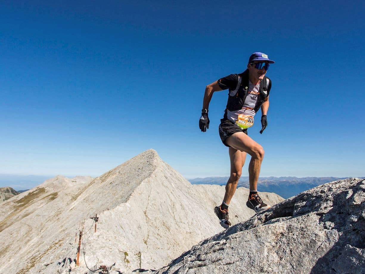
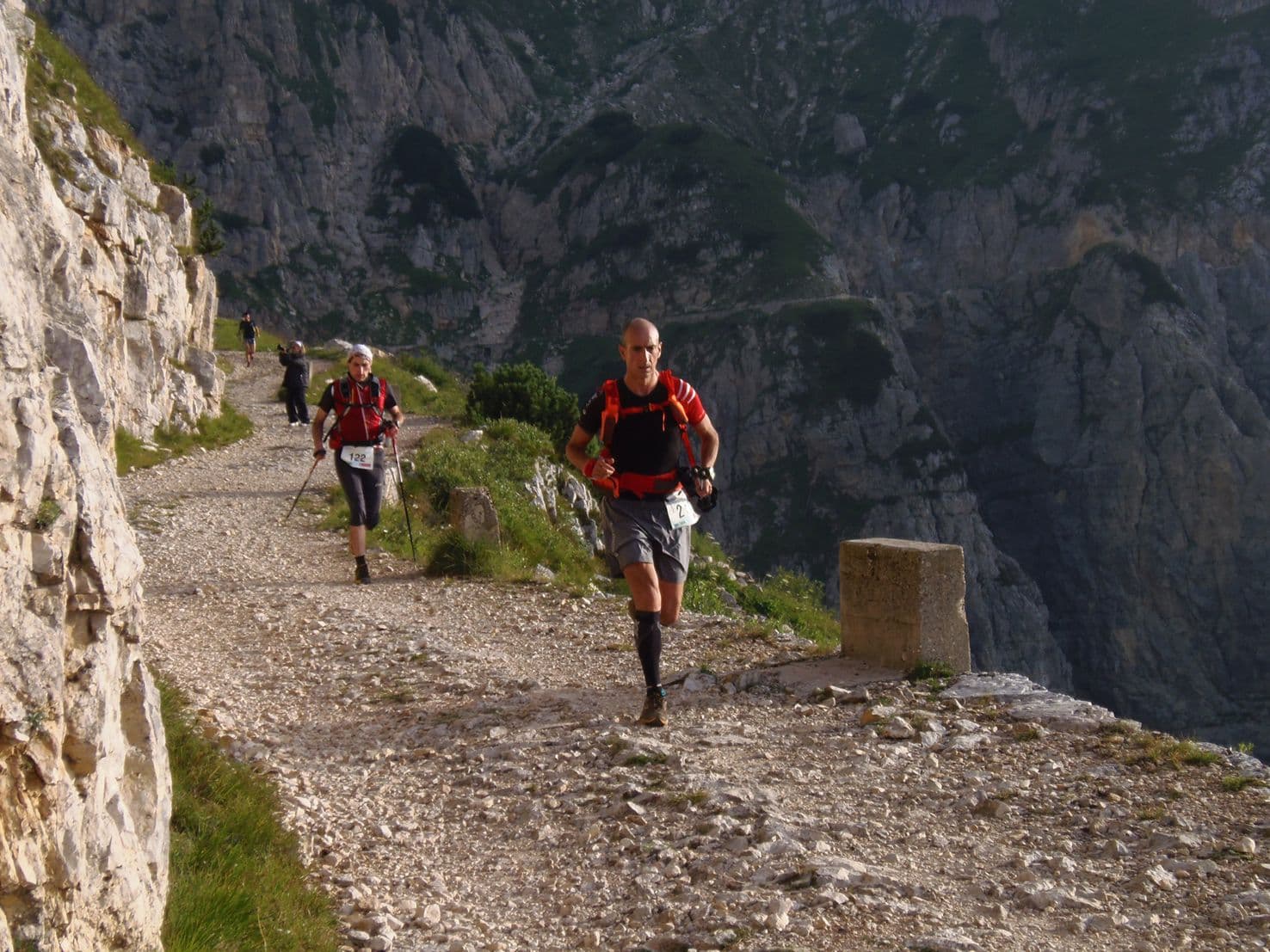
Q: What is the terrain like on the Scenic Trail 54km? A: The Scenic Trail 54km is defined by exceptional vertical intensity across technical alpine terrain. D+/km of 70.4m ranks 32nd of 390 European ultras for vertical density. With only 9.18% flat terrain (rank 3/390 for mountainousness), the course is almost continuously ascending or descending at steep gradient. Average uphill gradient ranks 40th of 390 for steepness; average downhill gradient ranks 339th of 390 for gentleness (meaning the descents are also among the steeper in the database). The course runs through technical singletrack, exposed ridgelines, forested trails, and high pre-Alpine terrain above the Lake Lugano basin. Both ascent and descent skill are required in equal measure.
Entry Fee, Registration, and Race Logistics for the Scenic Trail K54▼
Q: What is the entry fee for the Scenic Trail 54km and is it sold out? A: The Scenic Trail 54km entry is 114 CHF (approximately €2.30/km at time of calculation) plus a 4.89 CHF per-registration service fee. The race is not sold out. Registration for the 2026 edition closed on May 31, 2026 (the race took place June 13, 2026). For 2027 registration details and opening dates, monitor scenictrail.ch. Registration is handled via the ENDU platform (the service fee applies to all paid entries). Total capacity across all Scenic Trail distances is 1,575.
Fichiers de course
Logistique
Aéroport le plus proche
Milan Malpensa (MXP) / Zürich (ZRH)
Notes
Start: ~1–2 hrs (MXP) or ~2.5–3.5 hrs (ZRH) / Public transport: Possible via Lugano + local bus/taxi; car easier / Accommodation: Good around Lugano; race weekend can fill