Skip to content
Val d’Aran by UTMB 55 km trail running route — Spain · Catalonia (Val d'Aran)

ESPAGNE · Catalonia (Val d'Aran)

Val d'Aran by UTMB 55km: Top1 Descent Rank 39/390, Colomèrs Glacial Lake Cirque, and 4 UTMB Running Stones in the Only Spanish Territory Facing the Atlantic

Distance

55 km

Date

Droit d’inscription

135 EUR

€ / km

€2.45

📅

Nouvelle date en attente

Cette course a déjà eu lieu. La date de la prochaine édition est en attente.

UTMB Val d’Aran: high Pyrenees passes, brutal climbing, and a festival base in Vielha.

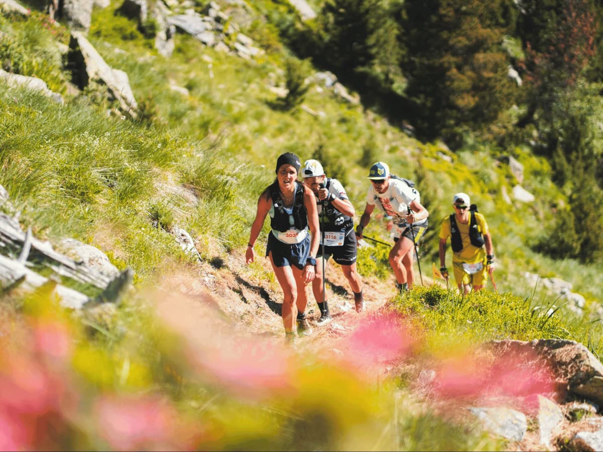
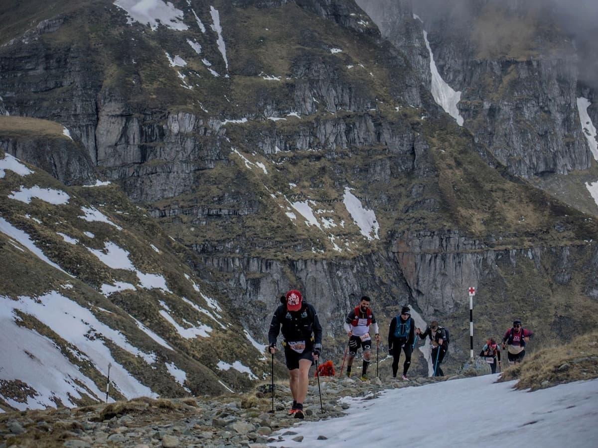
The Val d'Aran by UTMB 55km (PDA – Peades d'Aigua, 'Footsteps of Water') traverses Colomèrs, the largest glacial lake cirque in the Pyrenees, passing over 20 lakes at altitudes above 2,000m. Starting from Salardú, the course covers 3,300m D+ and 3,700m D- over 55km of Pyrenean alpine terrain. Top single descent drops 1,114m at -19.88% gradient — ranking 39th of 390 European trail races for single-descent magnitude (top 10%). Average downhill gradient ranks 342nd out of 390 (INVERTED scale: only 48 races descend more steeply on average). Just 9.45% of terrain is flat. A UTMB World Series race awarding 4 Running Stones for UTMB Chamonix qualification; sold out every year since its 2021 debut. Set in the Val d'Aran — the only Spanish territory facing the Atlantic, governed by the Conselh Generau d'Aran with its own Aranese (Gascon Occitan) language. Race start: Salardú 07:00, Thursday 2 July 2026 (completed). Entry €135 (~2.45 €/km). Nearest airport: Toulouse TLS ~3–4.5 hrs. Car strongly recommended. Accommodation in Vielha — book early. Capacity 1,597.

Élévation et Terrain

Mètres totaux

3,300m

D+/KM

60.0m/km

Pour référence, le Tor des Géants 330 km a 73 D+/km.

Pente montante moyenne

14.9%

Pente descendante moyenne

-15.9%

Distribution du gradient de montée

Val d’Aran by UTMB 55 km — uphill gradient distribution (GPX-derived, analysed 2026-05-02)
2–5%
4.5 km
5–10%
5 km
10–15%
3.9 km
15–20%
2.9 km
20%+
6.2 km

Profil de parcours

Analysed

Détail du terrain

Val d’Aran by UTMB 55 km — terrain breakdown (GPX-derived, analysed 2026-05-02)
41.9%Montée
15.6%Plat
42.4%Descente

Terrain

Alpine

Ascensions

Val d’Aran by UTMB climbs and descents profile

Principales montées

Val d’Aran by UTMB 55 km — top climbs (GPX-derived, analysed 2026-05-02)
1

5.9 km · 1114 m gain

starts km 41 · avg 18.9% · max 49.9%

2

13.1 km · 914 m gain

starts km 0 · avg 7% · max 46.2%

3

3.5 km · 503 m gain

starts km 23 · avg 14.3% · max 55%

Principales descentes

Val d’Aran by UTMB 55 km — top descents (GPX-derived, analysed 2026-05-02)
1

14.3 km · 1371 m drop

starts km 27 · avg -9.6% · max -60.4%

2

6.3 km · 1247 m drop

starts km 47 · avg -19.9% · max -40.5%

3

5.7 km · 625 m drop

starts km 18 · avg -11% · max -39%

Val d'Aran by UTMB 55km: Top1 Descent Rank 39/390, Colomèrs Glacial Lake Cirque, and 4 UTMB Running Stones in the Only Spanish Territory Facing the Atlantic

Top1 Descent Rank 39/390: The 1,114m Plunge at -19.88% Gradient That Defines the PDA 55km Course Character

Q: What makes the Val d'Aran by UTMB 55km technically demanding from a descent perspective? A: The PDA 55km has the 39th deepest single descent of 390 European trail races — a 1,114m drop at -19.88% average gradient, which is near 1:5 grade and among the most extreme single-descent gradients in the European database. Average downhill gradient ranks 342nd of 390 (INVERTED: only 48 races descend more steeply on average). With official D- of 3,700m exceeding D+ of 3,300m by 400m, the course descends more than it climbs. Just 9.45% of terrain is flat (rank 113/390 = fairly mountainous). The combination of a near-1:5 single descent, steep average descents throughout, and more total descent than ascent makes the PDA one of the most technically demanding 55km downhill profiles in European trail running.

Colomèrs — Largest Glacial Lake Cirque in the Pyrenees: 20+ Lakes, 2,000m+ Altitude, and the 'Footsteps of Water' Name Explained

Q: What is Colomèrs and why does the PDA course go there? A: Colomèrs is the largest glacial lake cirque in the Pyrenees — a high-altitude basin shaped by ancient glaciers, containing over 20 lakes at elevations above 2,000m within the Aigüestortes i Estany de Sant Maurici National Park and its surrounding protected area. The course name PDA stands for 'Peades d'Aigua' in Aranese — the regional Gascon Occitan language of the Val d'Aran — which translates as 'Footsteps of Water,' directly referencing the lake cirque landscape that defines the route. The 1,247m single ascent (top1 ascent rank 85/390) climbs to this lake basin before the main descent sequence. Running through Colomèrs is what distinguishes the PDA from other UTMB World Series 50km-category races in Spain.

Avg Downhill Rank 342/390, 9.45% Flat Terrain, and 3,700m D-: Why the PDA Descends More Than It Climbs

Q: How does the Val d'Aran by UTMB 55km qualify for UTMB Chamonix? A: The PDA 55km is classified as a UTMB World Series race in the 50km category, awarding 4 Running Stones. UTMB Running Stones are the qualification currency for the UTMB Chamonix finals — runners accumulate Stones across World Series races to access the main UTMB event. At 4 Running Stones per finish, the PDA is among the higher-value 50km-category qualifiers in the World Series. The race has been sold out every year since its inaugural 2021 edition. For 2027 qualification, check registration timelines at valdaran.utmb.world — previous editions have required early registration to secure a place. Maximum race time is 14 hours.

UTMB World Series, 4 Running Stones, and Sold Out Every Year: Race Credentials, Registration, and What Val d'Aran Means for UTMB Qualification

Q: What is the Val d'Aran and why is it unique in Spain? A: The Val d'Aran is a valley in the Pyrenees that occupies the north-facing (Atlantic) slope of the mountain range — making it the only territory in Spain that faces the Atlantic rather than the Mediterranean. As a result, it has a wetter, greener climate than the rest of Catalonia and Spain, and culturally it has its own language: Aranese, a variety of Gascon Occitan that is co-official with Catalan and Spanish. The valley is governed autonomously by the Conselh Generau d'Aran. Vielha is the capital. The proximity to Aigüestortes National Park gives the race access to some of the most protected and scenically extraordinary terrain in Spain.

Fichiers de course

Logistique

Aéroport le plus proche

Toulouse (TLS) / Barcelona (BCN) / Zaragoza (ZAZ)

Notes

Start: ~3–4.5 hrs (TLS) or ~3.5–5.5 hrs (BCN/ZAZ) to Vielha Val d’Aran / Public transport: limited; some buses from Toulouse/Barcelona but slow; car strongly recommended / Accommodation: strong in Vielha but books out fast (July); book early

Remote location icon

FAR

It’ll possibly take 3+ hours from the closest large airport to arrive. Plan your adventure accordingly, take an extra day for those after-race beers or Curranz.

Dernière vérification : March 17, 2026Site officiel →

Courses avec un gradient similaire