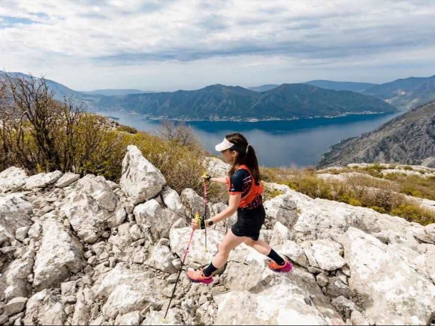
Montenegro · Boka Kotorska (Kotor Bay)
Distance
60 km
Date
Entry fee
€55
€ / km
€0.92
Boka Bay Trail – 60 km
Elevation and Terrain
Total Meters
3,000m
D+/KM
50.0m/km
For context, the Tor des Géants 330 loop has 73 D+/km.
Avg Uphill Gradient
9.0%
Avg Downhill Gradient
-10.1%
Uphill gradient distribution
| 2–5% | 5.8 km | |
|---|---|---|
| 5–10% | 11.2 km | |
| 10–15% | 7.6 km | |
| 15–20% | 2.0 km | |
| 20%+ | 0.6 km |
Route Profile
AnalysedTerrain breakdown
| 46.4% | Uphill |
|---|---|
| 12.0% | Flat |
| 41.6% | Downhill |
Terrain
Boka Bay Trail – 60 km 60km Top Climbs
Top Climbs
| 1 | 11.6 km · 1,097 m gain starts km 0 · avg 9.4% · max 17.3% |
|---|---|
| 2 | 3.6 km · 434 m gain starts km 34 · avg 12.0% · max 20.5% |
| 3 | 4.1 km · 230 m gain starts km 45 · avg 5.6% · max 80.4% |
Top descents
| 1 | 9.0 km · 1,015 m drop starts km 50 · avg -11.3% · max -25.7% |
|---|---|
| 2 | 6.5 km · 520 m drop starts km 17 · avg -8.1% · max -19.8% |
| 3 | 2.4 km · 251 m drop starts km 30 · avg -10.0% · max -16.0% |
Boka Bay Trail – 60 km 60km GPX
Getting to Boka Bay Trail – 60 km
Nearest airport
Tivat (TIV) / Dubrovnik (DBV) / Podgorica (TGD)
Notes
Start: ~10–20 min (TIV) to Tivat Porto Montenegro start area; ~1.5–2.5 hrs (DBV) with border; ~1.5–2.5 hrs (TGD) / Public transport: buses possible along the bay; race-day timing easier with taxi/car / Accommodation: strong in Tivat Kotor Herceg Novi; book early (April)