Romania · Brașov County
Transylvania 100
Distance
100 km
Date
May 23, 2026
Entry fee
120 EUR
€ / km
€1.20
New date pending
This race has already occurred. A new date for next year’s edition is pending.
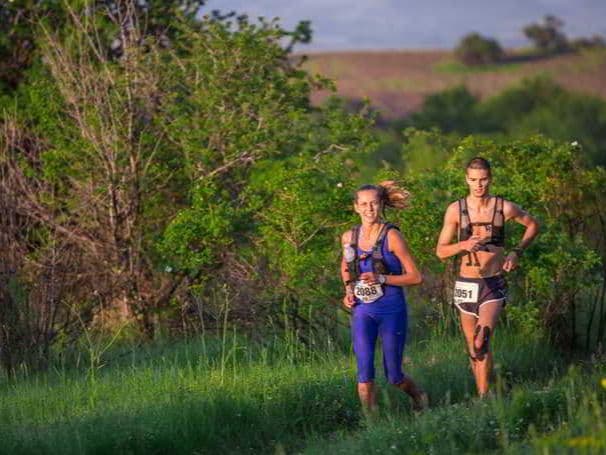
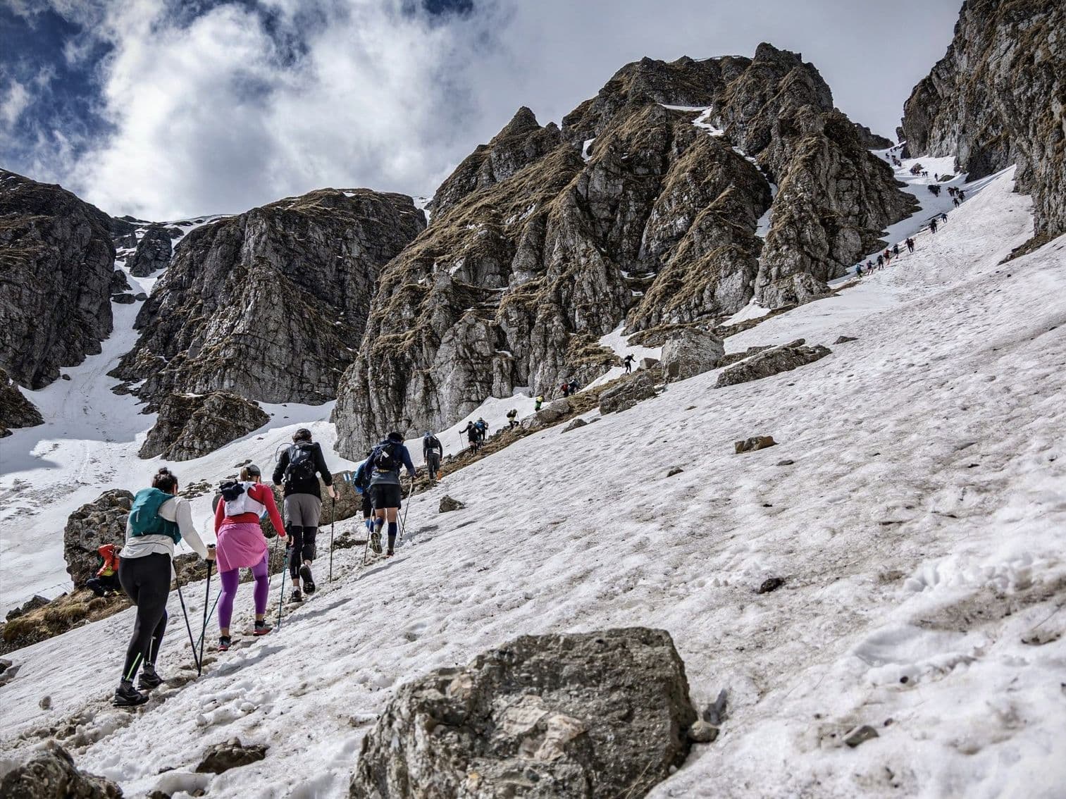
Transylvanian mountains and legends: forested climbs, big views, and a destination ultra vibe.
Elevation and Terrain
Total Meters
2000m
D+/KM
20m/km
For context, the Tor des Géants 330 loop has 73 D+/km.
Avg Uphill Gradient
14.1%
Avg Downhill Gradient
-13.1%
Uphill gradient distribution
Route Profile
Analysed 2026-05-02Terrain breakdown
Terrain
Climbs

Top climbs
9.5 km · 1406 m gain
starts km 0 · avg 14.8% · max 69.6%
6.3 km · 1066 m gain
starts km 46 · avg 16.9% · max 80.0%
6.4 km · 862 m gain
starts km 27 · avg 13.6% · max 94.5%
Top descents
6.0 km · 1164 m drop
starts km 34 · avg -19.5% · max -65.9%
10.2 km · 898 m drop
starts km 17 · avg -8.8% · max -60.5%
5.7 km · 801 m drop
starts km 69 · avg -14.0% · max -60.4%
Race files
Logistics
Nearest airport
Brașov-Ghimbav (GHV) / Bucharest Otopeni (OTP)
Notes
Start: ~0.5 hr (GHV) or ~3 hrs (OTP) / Public transport: train/bus to Brașov then bus/taxi to Bran / Accommodation: strong supply in Bran/Moieciu. Suggested to fly into GHV (Wizz Air potential connections) to avoid long transfer.