Austria · Tyrol
Paznaun Ischgl Ultra Trail
Distance
100 km
Date
July 10, 2026
Entry fee
125 EUR
€ / km
€1.25
New date pending
This race has already occurred. A new date for next year’s edition is pending.
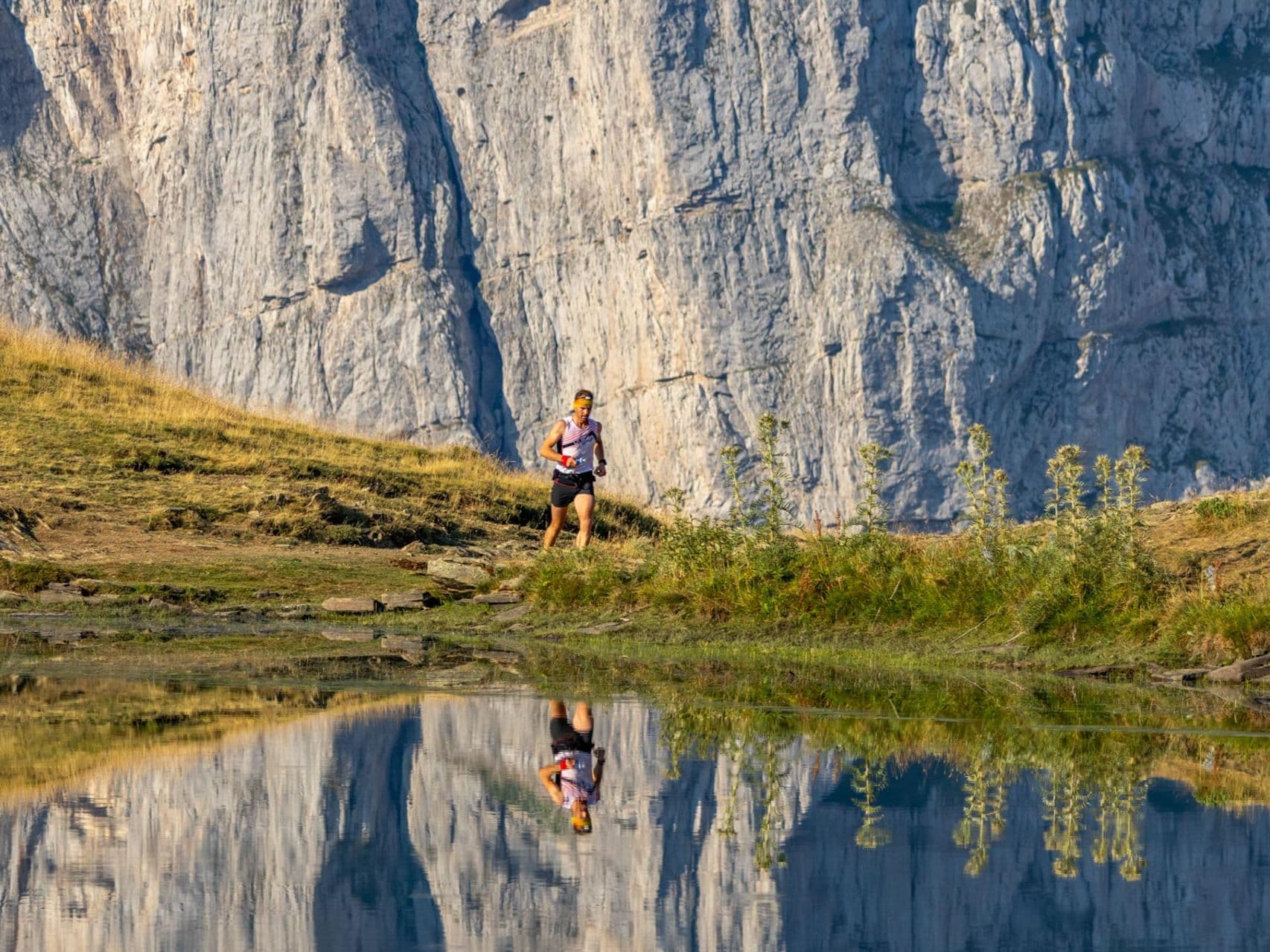
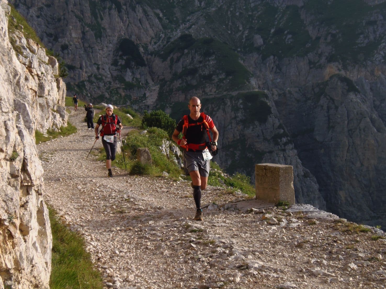
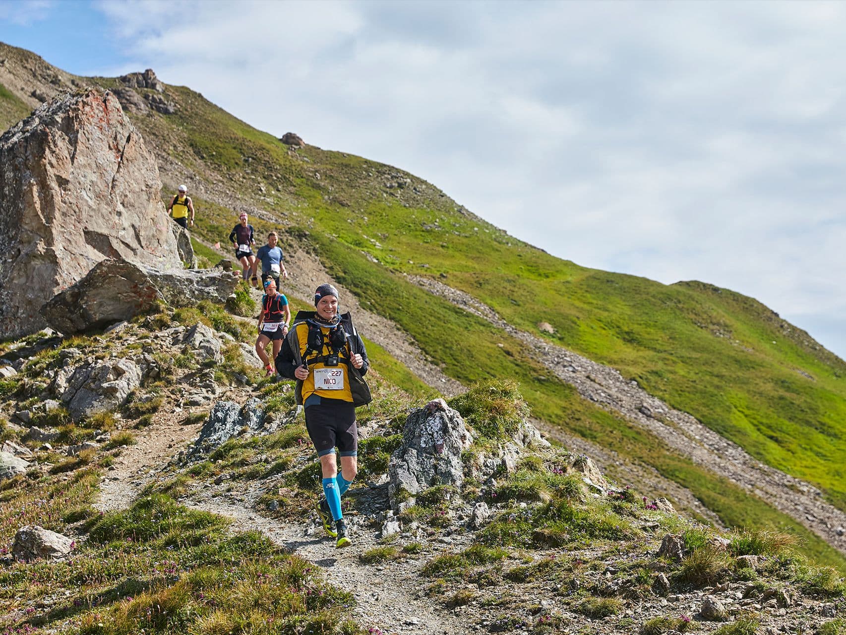
High Tyrol traverses between villages: serious vert, polished aid stations, and an Ischgl finish-line party.
Elevation and Terrain
Total Meters
6300m
D+/KM
63m/km
For context, the Tor des Géants 330 loop has 73 D+/km.
Avg Uphill Gradient
14.3%
Avg Downhill Gradient
-14.2%
Uphill gradient distribution
Route Profile
Analysed 2026-05-02Terrain breakdown
Terrain
Climbs

Top climbs
13.0 km · 1633 m gain
starts km 36 · avg 12.6% · max 72.6%
8.2 km · 1126 m gain
starts km 57 · avg 13.8% · max 56.8%
4.9 km · 732 m gain
starts km 81 · avg 14.9% · max 33.6%
Top descents
8.8 km · 1437 m drop
starts km 49 · avg -16.4% · max -82.6%
10.9 km · 978 m drop
starts km 86 · avg -9.0% · max -36.9%
3.2 km · 446 m drop
starts km 33 · avg -14.0% · max -75.1%
How Extreme Is the PIUT 100? (63 m/km, 14% Average Gradients, and Barely 12% Flat Terrain)
Q: How hard is the Paznaun Ischgl Ultra Trail 100km? | A: Extremely hard. The course runs 100km with 6,300m gain (63m/km), barely 12.6% flat terrain, and over 10km at 20%+ gradient. The biggest climb rises 1,633m over 12.96km at 12.6% average; the biggest descent drops 1,437m over 8.79km with an 82.6% maximum pitch. Distance-weighted average gradients are 14.33% uphill and 14.19% downhill throughout.
Getting to Ischgl: Why the PIUT 100 Is FAR and What That Means for Travel Planning
Q: How do I get to the PIUT 100 start in Ischgl? | A: Ischgl is classified as FAR from all airports. Innsbruck (INN) is closest at approximately 1.25–2.5 hours by road. Zurich (ZRH) and Munich (MUC) are approximately 3–4.5 hours. A car is strongly recommended; public transport via bus from Landeck-Zams station plus a taxi is possible but slow.
€1.25 per Kilometre for One of Austria's Most Demanding 100km Races
Q: How much does the Paznaun Ischgl Ultra Trail 100km cost? | A: €125 from January 1, 2026; €135 from June 12, 2026; €145 from July 12, 2026 (plus processing fee). AUTO €/km = €1.25/km at the base rate. Register at time2win.at/event/909.
Who Should Run the Paznaun Ischgl Ultra Trail 100km?
Q: Is the Paznaun Ischgl Ultra Trail a UTMB or ITRA qualifier? | A: The 2024 inaugural edition was listed on ITRA (event 103847), confirming ITRA certification. Verify current ITRA points and UTMB Index status at itra.run or utmb.world before registering — as a new race (3rd edition in 2026) the point values may have been updated.
Race files
Logistics
Nearest airport
Innsbruck (INN) / Zurich (ZRH) / Munich (MUC)
Notes
Start: ~1.25–2.5 hrs (INN) or ~3–4.5 hrs (ZRH/MUC) by car to Paznaun valley / Public transport: bus from Landeck-Zams station + taxi last-mile / Accommodation: strong in Ischgl but pricey; book early
FAR
It’ll possibly take 3+ hours from the closest large airport to arrive. Plan your adventure accordingly, take an extra day for those after-race beers or Curranz.