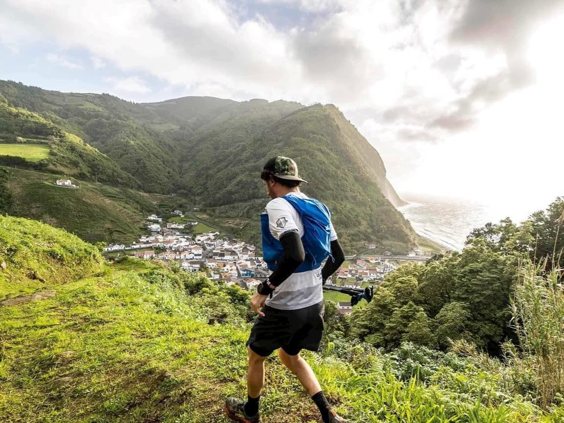
Italy · Lombardy
Ortles Haute Route
Distance
121.83 km
Date
September 11, 2026
Entry fee
170 EUR
€ / km
€1.40
A new race developed by former Italian pro-athlete Marco De Gasperi, big-mountain point-to-point in the Ortles-Cevedale: 120 km, crazy climbing, pace wisely.
Elevation and Terrain
Total Meters
9000m
D+/KM
73.87m/km
For context, the Tor des Géants 330 loop has 73 D+/km.
Avg Uphill Gradient
15.3%
Avg Downhill Gradient
-14.6%
Uphill gradient distribution
Route Profile
Analysed 2026-05-02Terrain breakdown
Climbs
Top climbs
15.2 km · 1714 m gain
starts km 73 · avg 11.3% · max 52.1%
4.6 km · 872 m gain
starts km 17 · avg 19.0% · max 51.9%
5.3 km · 871 m gain
starts km 53 · avg 16.3% · max 51.5%
Top descents
8.9 km · 1272 m drop
starts km 44 · avg -14.3% · max -42.3%
9.2 km · 1189 m drop
starts km 64 · avg -12.9% · max -49.4%
8.5 km · 966 m drop
starts km 31 · avg -11.0% · max -64.4%
How hard is the Ortles Haute Route? (Course profile and gradient breakdown)
Q: How hard is the Ortles Haute Route? A: Extremely demanding. The 121.83km course gains 9,000m — approximately 74m per kilometre, placing it in the top 20% most elevation-dense distances in DTR's database. Average uphill gradient is 15.33%, steeper than approximately 374 of 390 distances in the database. The top single climb is 15.15km long with 1,714m of gain — one of the 15 largest single ascents in DTR's records. The route crosses three passes above 3,000m entirely within Stelvio National Park. Just 12% of the course is flat terrain.
How much does the Ortles Haute Route cost to enter? (Fee and €/km)
Q: How much does the Ortles Haute Route cost? A: Entry for the inaugural 2026 edition is €170 — approximately €1.40 per kilometre. Two pricing tiers apply: runners with a FIDAL or World Athletics licence pay €10 less than those without. A potential additional commission fee may be applied at checkout. Registration opened February 21, 2026.
What is the Ortles Haute Route route? (Passes, terrain, and Stelvio National Park)
Q: When and where does the Ortles Haute Route take place? A: The 2026 edition runs September 11–12, with the main distance starting and finishing in Bormio, Lombardy, Italy. The entire course is within Stelvio National Park. Additional distances of 30km and a non-competitive 10km Open Trail are also available.
Who is Marco De Gasperi and why does it matter for this race?
Q: How do you get to the Ortles Haute Route from Milan? A: Bormio is approximately 164 minutes (2.75–4.5 hours depending on route and mountain pass conditions) from Milan's airports by road. Milan Malpensa (MXP), Linate (LIN), and Bergamo (BGY) are all options. Public transport exists — train to Tirano then bus to Bormio — but late-night connections are limited. A car is recommended. Book accommodation in Bormio early; the town fills quickly in peak summer season.
Race files
Logistics
Nearest airport
Milan Malpensa (MXP) / Milan Linate (LIN) / Milan Bergamo (BGY) / Zurich (ZRH)
Notes
Start: ~3–4.5 hrs by road to Bormio (depending on airport/traffic; passes can affect time) / Public transport: train to Tirano + bus to Bormio; limited late-night options, car recommended / Accommodation: strong in Bormio but books out early in peak season—reserve early.
FAR
It’ll possibly take 3+ hours from the closest large airport to arrive. Plan your adventure accordingly, take an extra day for those after-race beers or Curranz.


