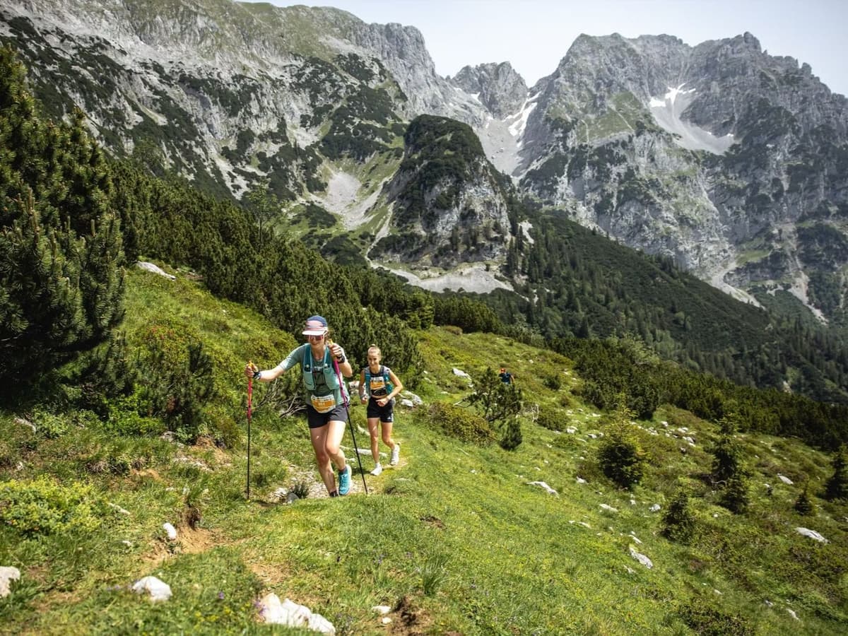
Ortles Haute Route es una carrera alpina de trail de 121,8 km que se estrena en septiembre de 2026 en el Parque Nacional del Stelvio, Lombardía, Italia. Con salida y meta en Bormio, el recorrido acumula 9.000 m D+ —74 m por kilómetro—, dentro del 20 % de distancias con mayor densidad vertical de la base DTR, formada por casi 390 recorridos. La inscripción cuesta 170 €, o 1,40 €/km.
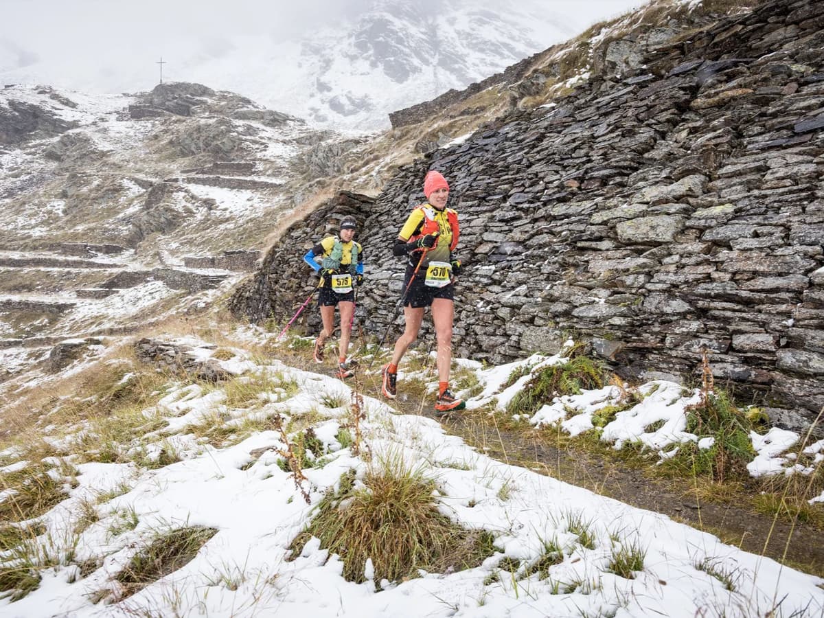
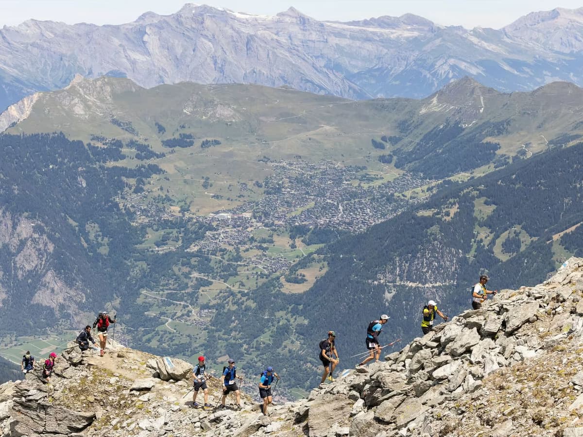
La ruta cruza tres pasos por encima de 3.000 m: Passo Zebrù (3.005 m), Rifugio Casati (3.269 m) y Passo del Madriccio (3.123 m), íntegramente dentro del Parque Nacional del Stelvio. La mayor subida individual mide 15,2 km y gana 1.714 m, una de las quince ascensiones más grandes de toda la base DTR. La pendiente media de subida es del 15,3 %, más empinada que la de 374 de las 390 distancias registradas, y solo el 12 % del recorrido es llano. Los aeropuertos de Milán están a 2,75–4,5 horas por carretera.
La carrera fue concebida por Marco De Gasperi, seis veces campeón del mundo de carrera de montaña. 2026 será la primera edición, por lo que todavía no existen datos de finishers ni récords del recorrido. Está pensada para ultrarunners de montaña con mucha experiencia, cómodos con ascensos largos de alta montaña, muy poco terreno llano y crestas completamente expuestas por encima de 3.000 m.