Spain · Aragon (Pyrenees)
Trail Valle de Tena Ultra
Distance
80.15 km
Date
September 5, 2026
Entry fee
120 EUR
€ / km
€1.50
Pyrenees village-to-ridge: some of the biggest climbs in Europe, rugged trails, and high-mountain scenery in Aragón.
Elevation and Terrain
Total Meters
6820m
D+/KM
85.09m/km
For context, the Tor des Géants 330 loop has 73 D+/km.
Avg Uphill Gradient
18.7%
Avg Downhill Gradient
-17.3%
Uphill gradient distribution
Route Profile
Analysed 2026-05-02Terrain breakdown
Terrain
Climbs

Top climbs
5.9 km · 1374 m gain
starts km 24 · avg 23.1% · max 83.3%
10.5 km · 1367 m gain
starts km 0 · avg 13.0% · max 53.6%
7.1 km · 759 m gain
starts km 56 · avg 10.7% · max 57.5%
Top descents
7.5 km · 1259 m drop
starts km 49 · avg -16.9% · max -43.1%
5.4 km · 969 m drop
starts km 19 · avg -18.0% · max -55.4%
7.9 km · 751 m drop
starts km 64 · avg -9.0% · max -42.3%
How hard is the Trail Valle de Tena 80km? (Gradient data and course profile)
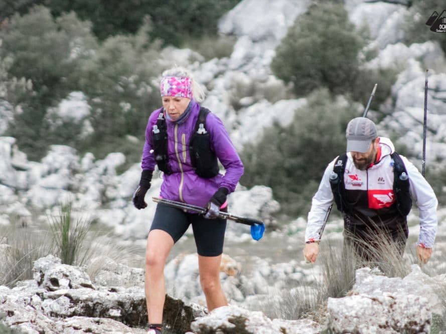
Q: How hard is the Trail Valle de Tena 80km? A: Extremely demanding — and explicitly designed to be. The 80.15km course gains 6,820m at an average of 85m per kilometre. Average uphill gradient is 18.67%, steeper than all but approximately 5–10 distances in DTR's database of 390. Just 7.8% of the course is flat — near the absolute minimum of the database. Runners spend over 44% of the race climbing and nearly 48% descending. A 2018 finisher described the approach bluntly: "se prepara pateando, no corriendo" (you train for this by hiking, not running). Time limit is 25 hours.
What is the Garmo Negro climb — and how does it compare to other European ultras?
Q: What is the "8K" naming and what does it mean? A: The "8K" branding refers to the race's approximate cumulative elevation gain target of approximately 8,000m D+, not a distance of 8 kilometres. The full distance is 80.15km. The race uses this internal naming system across all its distances — the 11km is the "1K," the 20km is the "2K," the 42.5km is the "4K," and the 80.15km is the "8K."
What does the Trail Valle de Tena route cover? (Summits, lakes, and course highlights)
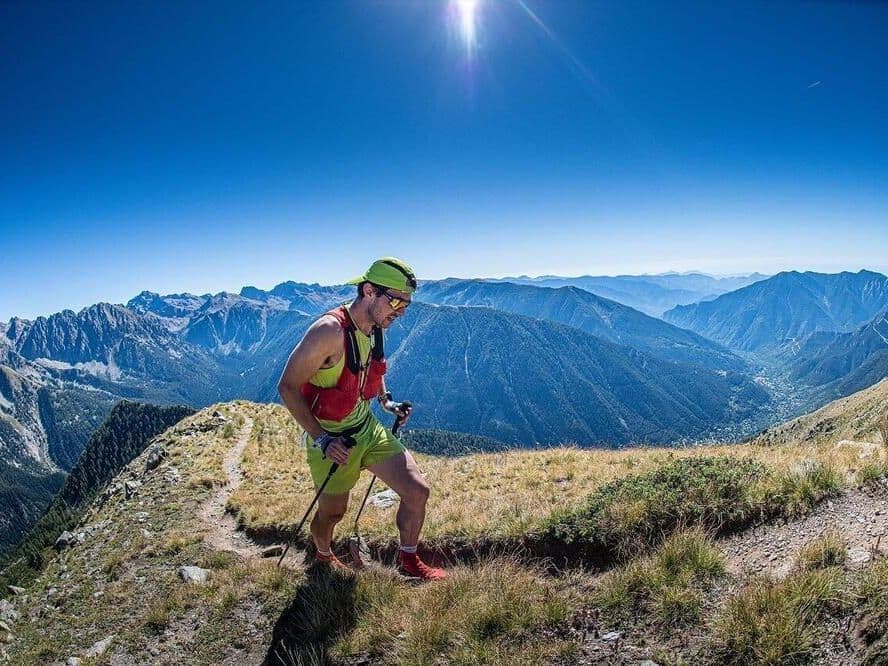
Q: What is the Garmo Negro climb? A: The single biggest climb on the course starts at km 24 and rises 1,374m over just 5.94km — an average gradient of 23.13% with a maximum of 83.3%. It tops out near the Garmo Negro area at approximately 3,064m. By the numbers, this is one of the most sustained and steep single ascents in DTR's database. Runners then descend through the Bachimaña area before a third major ascent near km 56.
How much does Trail Valle de Tena cost? (Entry fee, what's included, and value)
Q: How much does Trail Valle de Tena 80km cost? A: Entry is €120 until March 31, 2026, rising to €130 from April 1 through August 30 — approximately €1.50 per kilometre. The entry fee includes an OWAKA GPS satellite safety device, which is mandatory for the race. A medical certificate is also required. Any post-registration changes incur a €3 management fee.
Race files
Logistics
Nearest airport
Zaragoza (ZAZ) / Bilbao (BIO)
Notes
Start: 2–3h / Public transport: not realistic