Austria · Tyrol
Paznaun Ischgl Ultra Trail
Distance
50 km
Date
July 10, 2026
Entry fee
75 EUR
€ / km
€1.50
New date pending
This race has already occurred. A new date for next year’s edition is pending.
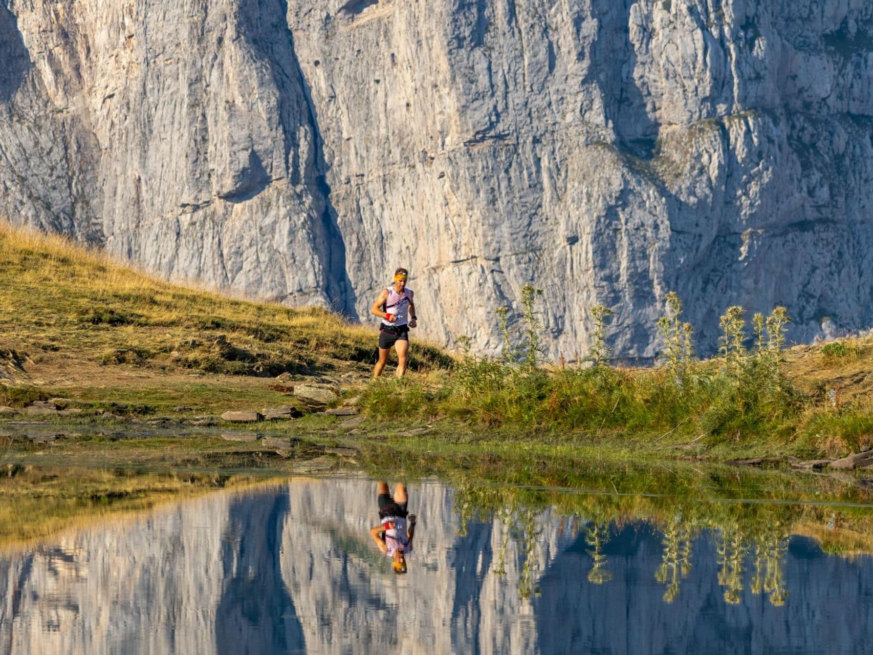
High Tyrol traverses between villages: serious vert, polished aid stations, and an Ischgl finish-line party.
Elevation and Terrain
Total Meters
3100m
D+/KM
62m/km
For context, the Tor des Géants 330 loop has 73 D+/km.
Avg Uphill Gradient
15.8%
Avg Downhill Gradient
-14.7%
Uphill gradient distribution
Route Profile
Analysed 2026-05-02Terrain breakdown
Terrain
Climbs

Top climbs
12.2 km · 1543 m gain
starts km 0 · avg 12.6% · max 72.5%
7.3 km · 1129 m gain
starts km 20 · avg 15.3% · max 85.1%
0.6 km · 53 m gain
starts km 31 · avg 8.5% · max 27.7%
Top descents
8.5 km · 1437 m drop
starts km 12 · avg -17.0% · max -82.0%
11.4 km · 485 m drop
starts km 36 · avg -4.3% · max -29.6%
2.9 km · 360 m drop
starts km 27 · avg -12.0% · max -48.4%
What Is the PIUT 50? 50km, 3,100m D+, Point-to-Point from Kappl to Ischgl in Tyrol, Austria
What is the PIUT 50 (Paznaun Ischgl Ultra Trail 50km)?
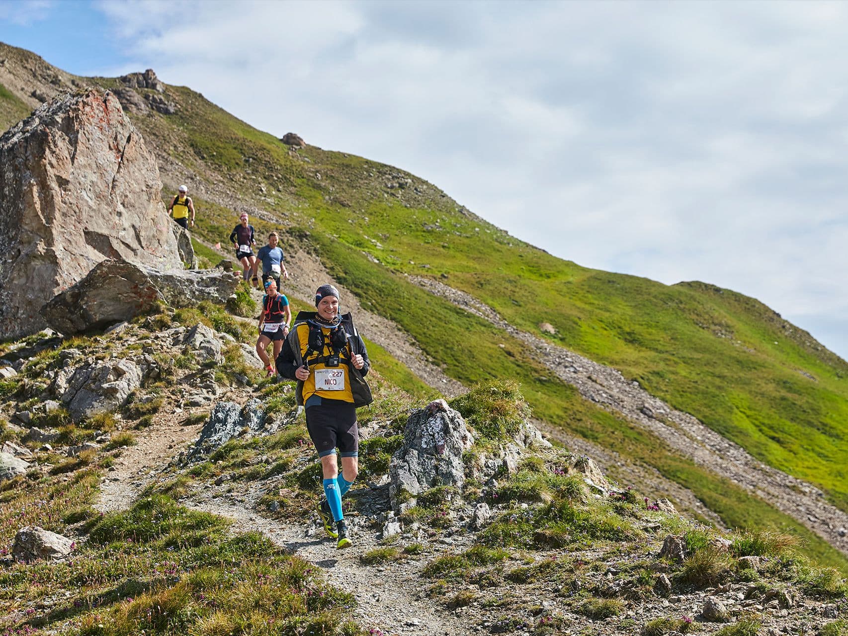
The PIUT 50 is the 50-kilometre distance of the Paznaun Ischgl Ultra Trail, a multi-distance mountain running festival held in Tyrol, Austria. The race runs point-to-point from Kappl to Ischgl through the Silvretta high-alpine zone, covering 3,100 metres of elevation gain at an average density of 62 metres per kilometre. It is now in its third edition in 2026 (inaugural in 2024). The PIUT festival also offers PIUT 100, 85, 30, and 20 distances plus a PIUT TEN charity run and Kids Run, all finishing in Ischgl over the weekend of 10 to 11 July 2026. The 50km distance specifically ran on 12 July in previous editions. Compulsory equipment is required for the PIUT 50.
How Hard Is the PIUT 50? 24th Biggest Single Ascent of ~390 Races — 62m/km D+ Explained
How hard is the PIUT 50 and what makes the course so demanding?
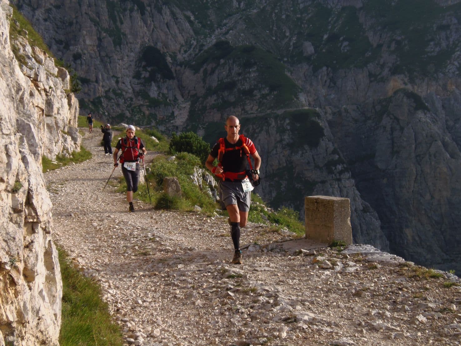
The PIUT 50 is a serious alpine race by every measurable metric. Its biggest single climb ranks 24th and its biggest single descent ranks 29th out of approximately 390 measured trail races in the DiscoverTrailRaces database — placing both in the top 8 percent, extraordinary for a 50-kilometre race competing against courses twice its distance. The distance-weighted average uphill gradient is approximately 15.8 percent — among the steepest 13 percent in the database — meaning virtually every climb on the route is sustained double-digit gradient with no gentle recovery sections. From Kappl, the route climbs into the Silvretta mountain zone, crosses high passes, and descends steeply to Ischgl. The DUV-recorded course record is 4:58:29 (Thomas Roach, GBR, 2024), giving a sense of the upper end of performance; most finishers take 7 to 10 hours.
How Much Does the PIUT 50 Cost and Is It Sold Out? Entry Fees €75–€95, Not Sold Out in 2026
How much does it cost to enter the PIUT 50 and is it sold out for 2026?
The PIUT 50 is not sold out for 2026. Entry fees are tiered: €65 (before January 2026), €75 (January to 12 June 2026), €85 (12 June to 10 July 2026), and €95 for late registration. A transaction fee of €0.60 plus 4.2 percent applies per registration via time2win.at. Prize money is offered: €500 for first place, €300 for second, and €200 for third, for both women and men. All finishers receive a finisher medal, starter gift, certificate, and food and drink at aid stations (water, ISO drink, tea, fruit, cake, soup, and savoury snacks). Holders of a Paznaun-Ischgl CREW Card receive a free starting place.
How Do I Get to the PIUT 50 Start in Kappl? Innsbruck Airport 1.5–2.5h, Limited Public Transport
How do I get to the PIUT 50 start in Kappl and how do I return from Ischgl?
The PIUT 50 starts in Kappl, a small village in the Paznaun valley in Tyrol, Austria. The nearest airport is Innsbruck (INN), approximately 1.25 to 2.5 hours by car. Zurich (ZRH) and Munich (MUC) airports are also used by international runners — both are roughly 3 to 4.5 hours by car. Public transport is possible but limited: the nearest rail connection is Landeck-Zams station, with a bus connection to the valley and a last-mile taxi to Kappl. A car is recommended for most international travellers. The race finishes in Ischgl, which is in the same Paznaun valley about 12 kilometres from Kappl — check with the organisers for any official shuttle service or return transport on race day. Accommodation in Ischgl is strong but expensive in peak season; book early.
Race files
Logistics
Nearest airport
Innsbruck (INN) / Zurich (ZRH) / Munich (MUC)
Notes
Start: ~1.25–2.5 hrs (INN) or ~3–4.5 hrs (ZRH/MUC) by car to Paznaun valley / Public transport: bus from Landeck-Zams station + taxi last-mile / Accommodation: strong in Ischgl but pricey; book early
FAR
It’ll possibly take 3+ hours from the closest large airport to arrive. Plan your adventure accordingly, take an extra day for those after-race beers or Curranz.