Spain · Canary Islands
Transvulcania Ultramarathon
Distance
73.06 km
Date
May 9, 2026
Entry fee
110 EUR
€ / km
€1.51
New date pending
This race has already occurred. A new date for next year’s edition is pending.
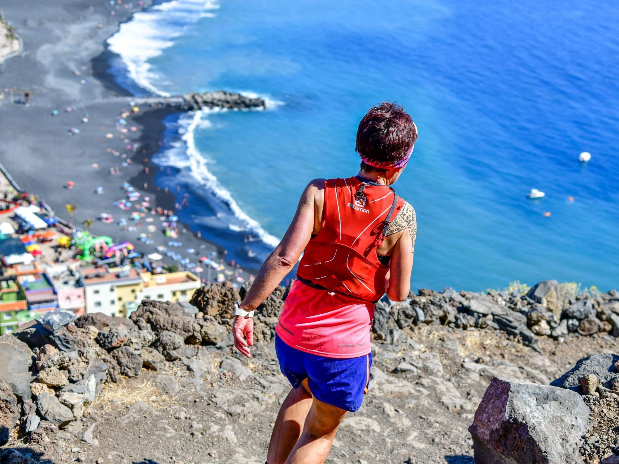
Huge vert, black volcanic rock, and running in the clouds in the Canary Islands.
Elevation and Terrain
Total Meters
4350m
D+/KM
59.54m/km
For context, the Tor des Géants 330 loop has 73 D+/km.
Avg Uphill Gradient
12.0%
Avg Downhill Gradient
-13.7%
Uphill gradient distribution
Route Profile
Analysed 2026-05-02Terrain breakdown
Terrain
Climbs

Top climbs
17.9 km · 1874 m gain
starts km 0 · avg 10.4% · max 33.6%
6.7 km · 647 m gain
starts km 30 · avg 9.7% · max 30.2%
7.8 km · 436 m gain
starts km 39 · avg 5.6% · max 29.7%
Top descents
17.4 km · 2364 m drop
starts km 52 · avg -13.6% · max -37.3%
3.3 km · 301 m drop
starts km 20 · avg -9.2% · max -28.0%
1.9 km · 193 m drop
starts km 23 · avg -10.0% · max -31.5%
Course Profile: Fuencaliente to Roque de los Muchachos to Los Llanos de Aridane
What is the distance and elevation of the Transvulcania Ultramarathon? The Transvulcania Ultramarathon covers 73.06 kilometres with 4,350 metres of elevation gain and approximately 4,057 metres of descent. At 59.54 metres per kilometre of vertical density, it ranks in the top third of the DiscoverTrailRaces database for vert-per-km across all distances.
Terrain and Conditions: Volcanic Rock, Pine Forest, and the Summit of La Palma
Where does the Transvulcania Ultra course go? The route runs point-to-point from Faro de Fuencaliente lighthouse on La Palma's southern tip, climbing north through the Cumbre Vieja volcanic ridge and ascending toward Roque de los Muchachos at 2,426 metres before descending to finish at Los Llanos de Aridane on the island's western coast.
Race Logistics: Getting to La Palma and Planning Your Transvulcania Trip
What is the history of the Transvulcania Ultramarathon? Transvulcania was first held in 2009 and attracted elite runners including Kilian Jornet and Emelie Forsberg during its Skyrunner World Series era (2012-2019). After cancellations in 2020 and 2021 (COVID and Cumbre Vieja volcanic eruption), it returned as a UTMB World Series race in 2022-2023 before leaving to operate independently from 2024, now sponsored by adidas Terrex.
Race History and Elite Winners at Transvulcania Ultramarathon
How much does it cost to enter the Transvulcania Ultramarathon? The 2026 entry fee was 110 euros, placing the race in the 1.5 to 2 euros per kilometre tier. The 2026 edition sold out. Register early for 2027 at avaibooksports.com.
Race files
Logistics
Nearest airport
La Palma (SPC)
Notes
Start: ~0.5–1.25 hrs by car to Fuencaliente; finish in Los Llanos ~0.5–1 hr / Public transport: limited; event buses/taxis common / Accommodation: limited on La Palma; book early (race week)