Norway · Buskerud (Numedal / Blefjell)
Blefjells Beste
Distance
96 km
Date
July 24, 2026
Entry fee
1,650 NOK
€ / km
€1.53
Norway’s cabin-country ultra: rocky plateaus, remote trails, and old-school mountain grit.
Elevation and Terrain
Total Meters
3400m
D+/KM
35.42m/km
For context, the Tor des Géants 330 loop has 73 D+/km.
Avg Uphill Gradient
8.5%
Avg Downhill Gradient
-8.5%
Uphill gradient distribution
Route Profile
Analysed 2026-05-01Terrain breakdown
Terrain
Climbs

Top climbs
10.5 km · 527 m gain
starts km 55 · avg 5.0% · max 26.8%
9.2 km · 472 m gain
starts km 0 · avg 5.1% · max 27.0%
2.1 km · 218 m gain
starts km 27 · avg 10.5% · max 29.3%
Top descents
4.0 km · 334 m drop
starts km 69 · avg -8.3% · max -28.9%
4.0 km · 333 m drop
starts km 12 · avg -8.3% · max -29.6%
2.2 km · 261 m drop
starts km 38 · avg -12.0% · max -33.8%
How Hard Is Blefjells Beste 96km — and What Does a Race Built on Two 9km+ Climbs, a 22:00 Night Start, and Norwegian Mountain Weather Demand From a Runner When Gradient Is Not the Point?
Q: How hard is Blefjells Beste 96km, and what kind of difficulty does a Norwegian fell ultra with moderate gradients actually present? | A: Blefjells Beste is not a gradient race. The distance-weighted average uphill gradient is 8.51% — rank 309 of ~390 GPX-tracked courses in the DTR database, placing it among the more runnable 96km profiles in the catalogue. 308 courses climb more steeply; only ~81 are gentler. The Blefjell massif is Norwegian fell terrain: rocky plateaus and sustained rolling ridgelines rather than near-vertical mountain pitches. What makes Blefjells Beste hard is the combination of distance (96km), sustained long climbs (9.2km at 5.1% avg from the gun; 10.5km at 5.0% avg at km 55 on tired legs), and conditions: a 22:00 start sends runners into the Norwegian mountain dark for most of the first night. Norwegian mountain weather in late July is genuinely variable — reports describe conditions ranging from tall snow banks on both sides of the mountain road to 20 degrees warmth on the same mountain in different years.
What Is the Blefjells Beste Course — Rocky Plateaus, the Blefjell Massif, Long Grinding Fell Climbs, and What Running Through Buskerud's Least-Known Mountain Landscape Looks Like?
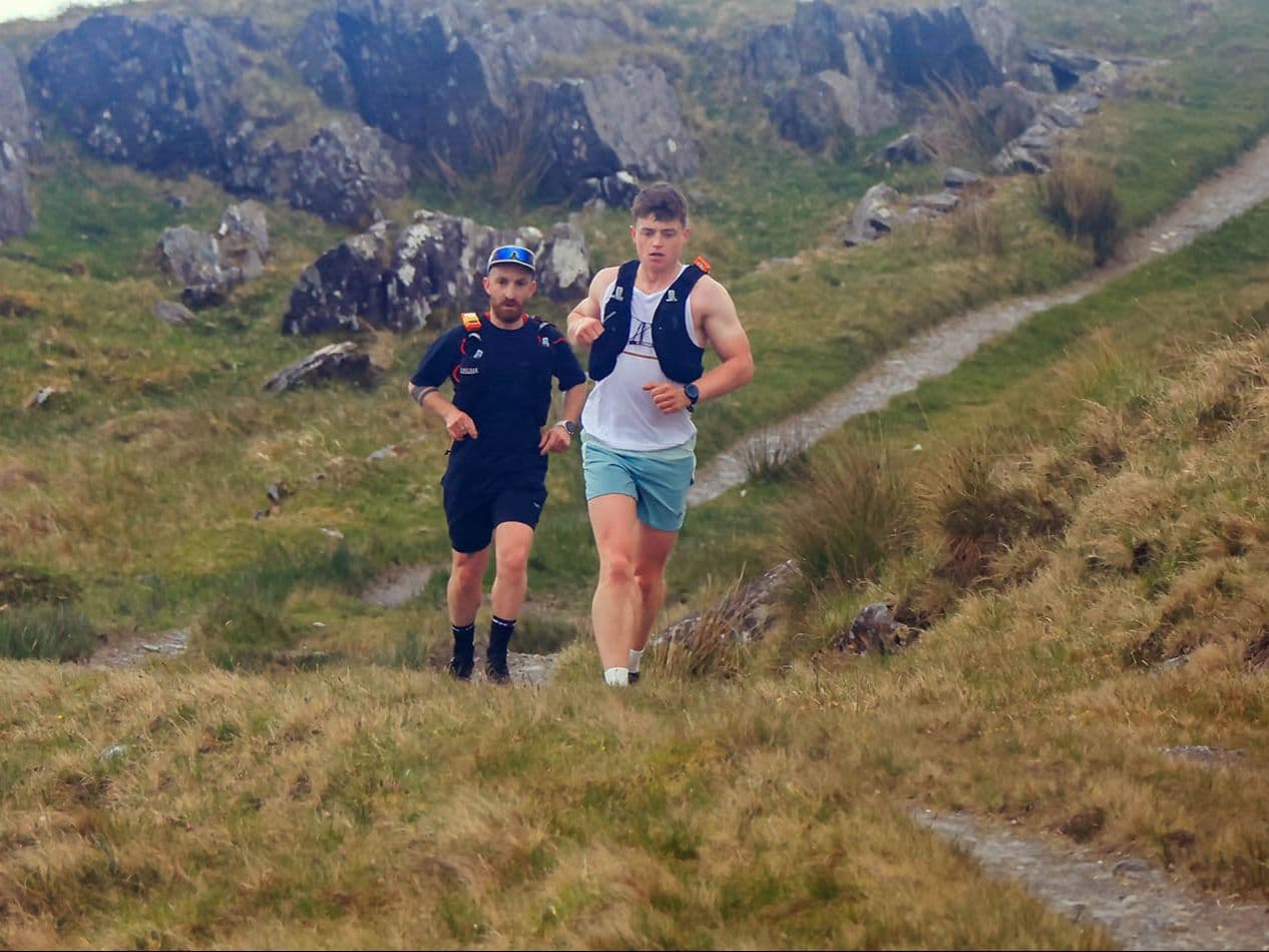
Q: What does the Blefjells Beste 96km course cover, and what is the Blefjell massif terrain like? | A: The course covers the Blefjell mountain massif (Store-Ble) in Buskerud county, central Norway — a landscape of rocky fell plateaus, open ridgelines, forest approaches, and occasional technical descents. The race name Blefjells Beste means Blefjell's Best: the route deliberately visits the finest places on the mountain. Terrain is pre-alpine and Arctic fjell: rocky surfaces, exposed plateau traverses, and long rolling climbs at moderate gradient. Two climbs dominate structurally: Climb 2 opens the race at km 0 (9.2km, 472m, 5.1% avg) and Climb 1 arrives at km 55.4 (10.5km, 527m, 5.0% avg). The course is nearly perfectly balanced (38.8% uphill, 22.2% flat, 39.0% downhill) and the 8.51%/-8.45% DW average gradient symmetry confirms the even fell character. Start and finish are at the private cabin Bestebu (Klengstoel) on Store-Bleveien.
What Makes Blefjells Beste a Discovery Race — Only 9 Finishers in the 2025 Inaugural Year, No Course Records, and What It Means to Be Among the First Runners to Complete This Distance?
Q: Why does Blefjells Beste have only 9 previous finishers, and what does being an early mover on this distance actually mean? | A: The 96km distance launched in 2025 and attracted just 9 finishers. The race's shorter distances (57km Troll Route, 21km, 10km, 5km) have a more established history — the 57km traces back to at least 2020 on ITRA. The 96km is genuinely new: no course records exist in the DTR database, no runner reviews or race reports have been published for this distance, and the 2026 edition is only the second running of the route. For first-mover runners who want to hold inaugural times, race before a field grows, and be part of a course narrative that hasn't been written yet — this is an unusually clear opportunity. The informal cabin start and very small field compound this: Blefjells Beste 96km in 2026 is as close to a private mountain challenge with race infrastructure as the DTR catalogue offers.
What Is the Night Start Like at Blefjells Beste — a 22:00 Departure Into Norwegian Summer Twilight, the Private Cabin at Bestebu, and the Fell Landscape at Midnight in Late July?
Q: What is the 22:00 night start at Blefjells Beste like, and what conditions should runners expect on Norwegian fell terrain in late July? | A: The race starts at 22:00 on July 24. At this latitude in Norway, late July means prolonged twilight rather than full darkness — not the full midnight sun of northern Norway, but significantly lighter than a mid-winter night. Runners will spend the first several hours in low light before full darkness, with dawn arriving in the early morning hours. Conditions at the 22:00 start are typically cool at mountain elevation (8-15 degrees C) and Norwegian July mountain weather is famously variable: reports describe conditions ranging from tall banks of residual snow on both sides of the mountain road to 20-degree warmth in the same week in different years. The 9.2km opening climb from 22:00 means runners gain elevation rapidly in fading light and arrive on the open plateau in darker conditions. Full overnight mountain layering kit is essential regardless of forecast.
Race files
Logistics
Nearest airport
Oslo (OSL)
Notes
Start: TODO: verify ~2–2.75 hrs drive to Lampeland/Flesberg then ~20–35 min up to Store-Bleveien parking / Public transport: feasible to Lampeland/Flesberg area via Entur routes + race-day bus option; last-mile mountain road parking limited / Accommodation: recommended overnight in Lampeland or Flesberg; local offers in Numedal; book early (limited inventory)