Germany · Saxony (Zittau Mountains Nature Park)
XTERRA O-SEE Ultra Trail
Distance
50.5 km
Date
October 16, 2026
Entry fee
80 EUR
€ / km
€1.58
Saxon Switzerland edge: technical trails, rocky scenery, and a tough 100K near the Czech border.
Elevation and Terrain
Total Meters
2022m
D+/KM
40.04m/km
For context, the Tor des Géants 330 loop has 73 D+/km.
Avg Uphill Gradient
12.8%
Avg Downhill Gradient
-12.5%
Uphill gradient distribution
Route Profile
Analysed 2026-05-02Terrain breakdown
Terrain
Climbs

Top climbs
4.7 km · 227 m gain
starts km 28 · avg 4.8% · max 45.9%
1.9 km · 206 m gain
starts km 10 · avg 10.9% · max 66.1%
2.2 km · 197 m gain
starts km 13 · avg 9.0% · max 41.8%
Top descents
5.0 km · 329 m drop
starts km 45 · avg -6.6% · max -41.0%
3.2 km · 251 m drop
starts km 36 · avg -7.9% · max -47.1%
2.5 km · 201 m drop
starts km 8 · avg -8.0% · max -48.7%
XTERRA O-SEE 50K Course Profile: 50.5km, 2,022m D+, Sandstone Singletrack, and Distributed Climbing in the Zittau Mountains
Q: How hard is the XTERRA O-SEE Ultra Trail 50K? A: Among 390 European ultras tracked by DiscoverTrailRaces, the O-SEE 50K ranks 171st for average uphill gradient steepness -- slightly above the database average for sustained climbing. D+/km also ranks 171st, placing this in the above-average-vertical bracket. The defining characteristic is the distributed climbing profile: the biggest single ascent is only 251m (ranking 319th out of 390 for magnitude), meaning 2,022m D+ is accumulated across many short steep pitches rather than one or two big sustained climbs. The biggest single descent drops 227m at -7.9% average gradient (ranked 286th for descent drama). Time limit for the 50K is 10 hours from an 08:00 Friday start. Technical forest singletrack and sandstone terrain in the Zittau Mountains produce steep short ascents on rocky trails as the defining physical challenge.
2026 XTERRA European Trail Run Championship: How the O-SEE 50K Earns XTERRA World Championship Qualification Slots
Q: Is the XTERRA O-SEE Ultra Trail 50K a qualifier for the XTERRA World Championship? A: Yes -- in 2026, the XTERRA O-SEE Ultra Trail hosts the XTERRA European Trail Run Championship over the 50K and 25K distances. Top finishers in all age-group categories receive championship awards and earn qualification slots to the 2027 XTERRA Trail Run World Championship. The race carries UTMB Index certification separately. Verify current XTERRA World Championship entry requirements and qualifying criteria directly with XTERRA or at the race website before planning a qualification attempt, as requirements can change between seasons.
Average Uphill Gradient 171/390, Top1 Ascent 319/390: What the Distributed Climbing Profile of O-SEE 50K Actually Means
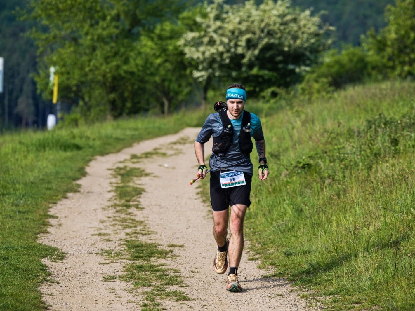
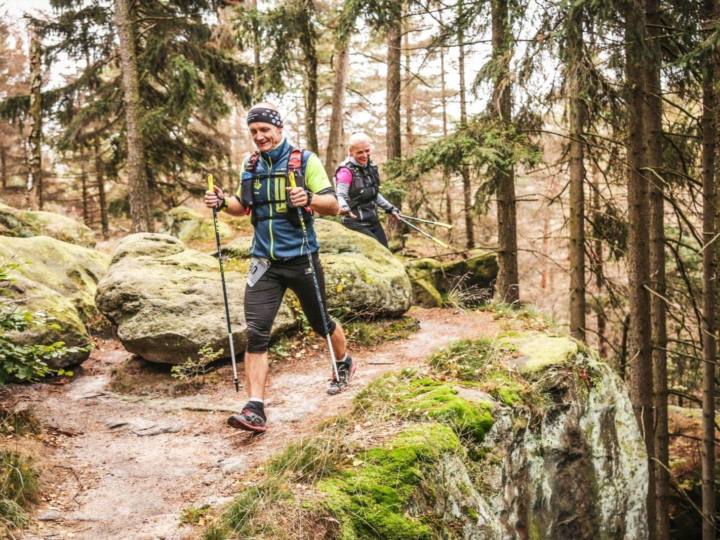
Q: What is the XTERRA O-SEE Ultra Trail 50K course like? A: The 50.5km loop starts and finishes in Oybin village, set beneath the ruins of a medieval monastery in the Zittau Mountains Nature Park, Germany. The course runs through forest and sandstone terrain at the tripoint of Germany, Poland, and the Czech Republic, featuring steep ascents on sloping sandstone walls with views from the ridges. The Kelchstein -- one of the Zittau Mountains' most iconic rock formations and a well-known climbing destination -- appears on the race medals. Terrain is mixed forest singletrack and rocky technical sections with an undulating character: 2,022m D+ distributed across many short steep climbs rather than a few long sustained ones. Race starts at 08:00 on Friday October 17, 2026.
Getting to Oybin: Dresden and Prague Airports 1.75 Hours Away, Train to Zittau, and Limited Local Accommodation
Q: How do I get to the XTERRA O-SEE Ultra Trail? A: Dresden Airport (DRS) and Prague Airport (PRG) are each approximately 1.75 hours by car from Oybin, the race start and finish. Train connections from Dresden to Zittau are possible; Oybin is a short final transfer from Zittau by taxi or on foot. Public transport covers the main journey but does not serve Oybin directly -- a car is recommended for full flexibility. Accommodation in the Zittau Mountains is limited on race weekend; Zittau city has more options. Book early. The festival runs October 16-18, 2026, with the 50K starting on Friday October 17.
Race files
Logistics
Nearest airport
Dresden (DRS) / Prague (PRG)
Notes
Start: ~1–2.5 hrs drive to Zittau Olbersdorfer See area / Public transport: train to Zittau possible; last-mile short taxi or walk / Accommodation: limited in Zittau region on race weekend; book early