France · Occitanie (Aveyron)
Les Templiers Endurance Trail
Distance
99.5 km
Date
October 16, 2026
Entry fee
160 EUR
€ / km
€1.61
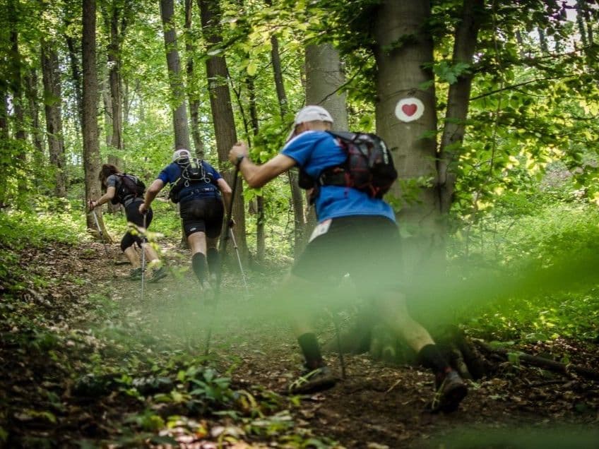
France’s trail institution: big crowds, rugged Causses terrain, and a fall festival that defines the sport.
Elevation and Terrain
Total Meters
4304m
D+/KM
43.26m/km
For context, the Tor des Géants 330 loop has 73 D+/km.
Avg Uphill Gradient
12.4%
Avg Downhill Gradient
-11.3%
Uphill gradient distribution
Route Profile
Analysed 2026-05-02Terrain breakdown
Terrain
Climbs

Top climbs
3.9 km · 494 m gain
starts km 90 · avg 12.6% · max 67.7%
4.1 km · 460 m gain
starts km 41 · avg 11.3% · max 40.6%
5.0 km · 429 m gain
starts km 28 · avg 8.6% · max 42.7%
Top descents
2.8 km · 452 m drop
starts km 96 · avg -16.4% · max -64.0%
5.1 km · 449 m drop
starts km 64 · avg -8.9% · max -46.5%
7.1 km · 436 m drop
starts km 21 · avg -6.0% · max -39.3%
Why Les Templiers Sells Out in Under One Hour — and What the Waiting List Strategy Looks Like
Q: How hard is Les Templiers Endurance Trail 99.5K? A: Harder than its D+/km suggests. At 43.3 m/km (mid-database), it looks moderate; the 12.37% average uphill gradient — estimated top ~10% of European trail races — tells more. Three causses and three valley gorges create relentless technical transitions. La Cade (km 95.88, 452m drop, 16.38% avg gradient) is the notorious finale: roped, rocky, steep, in darkness, after 95km from a 4:00 AM start.
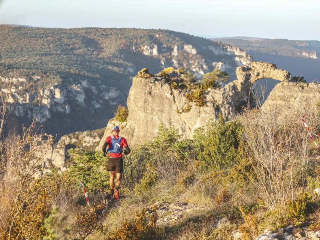
Course Profile — Three Causses, Three Valleys, and La Cade: The Descent That Defines 32 Editions
Q: Does Les Templiers sell out? A: Yes — historically in under one hour. The 2026 Endurance Trail is on waiting list only as of May 2026.
€1.61/km for France's Most Historic Ultra: What the Templiers Entry Fee Covers
Q: Is Les Templiers a WSER or UTMB qualifier? A: Yes to both. Sub-19h finish qualifies for Western States 100 2027 lottery. The race is a UTMB 100K indexed event.
Getting to Les Templiers: Montpellier, Millau, and the FAR Logistics of the Aveyron
Q: How much does Les Templiers Endurance Trail cost? A: €168 total (€160 entry + €8 application fee). Cancellation insurance (80% refund) must be selected at registration — cannot be added later.
Race files
Logistics
Nearest airport
Montpellier (MPL) / Marseille (MRS)
Notes
Start: ~2–3 hrs drive to Millau / Public transport: train to Montpellier/Marseille + connections to Millau (can be slow) / Accommodation: good in Millau; book early (big event weekend)
FAR
It’ll possibly take 3+ hours from the closest large airport to arrive. Plan your adventure accordingly, take an extra day for those after-race beers or Curranz.