Austria · Tyrol
Mayrhofen Ultraks Zillertal
Distance
101 km
Date
September 4, 2026
Entry fee
215 EUR
€ / km
€2.13
Zillertal brutality: steep alpine climbs, sky-high panoramas, and a resort town built for race weekends.
Elevation and Terrain
Total Meters
7600m
D+/KM
75.25m/km
For context, the Tor des Géants 330 loop has 73 D+/km.
Avg Uphill Gradient
15.3%
Avg Downhill Gradient
-17.5%
Uphill gradient distribution
Route Profile
Analysed 2026-05-02Terrain breakdown
Terrain
Climbs

Top climbs
9.7 km · 1465 m gain
starts km 21 · avg 15.1% · max 95.8%
6.4 km · 1296 m gain
starts km 52 · avg 20.4% · max 55.6%
8.6 km · 1265 m gain
starts km 3 · avg 14.7% · max 34.9%
Top descents
10.7 km · 2134 m drop
starts km 95 · avg -20.0% · max -159.6%
4.6 km · 1113 m drop
starts km 59 · avg -24.4% · max -91.4%
3.5 km · 1027 m drop
starts km 69 · avg -29.0% · max -60.6%
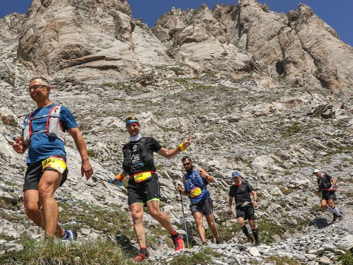
Mayrhofen Ultraks Zillertal Z101 is a 101 km trail race held in September in Tyrol, Austria. The course gains 7,600 m over 101 km (75.2 m/km), starting Friday at 5:00 pm from Mayrhofen and running overnight through the Zillertal and Tux Alps. Entry costs €215 (from January 1, 2026), equivalent to €2.13 per kilometre. The 2026 edition is sold out with no waiting list offered.
The race's final descent drops 2,134 m back to Mayrhofen — the 3rd largest single descent of 386 European trail distances in the DTR database. At 75.2 m per kilometre, Z101 is the 33rd most elevation-dense of 389 European distances with GPS data. Maximum field size is exactly 101 runners — one of the smallest caps on any 100 km race in Europe. The course is not additionally marked; runners navigate by GPS on signposted hiking trails. Nearest airport is Innsbruck (INN), approximately 65 minutes by car.
Founded in 2019 and now in its seventh edition, Z101 carries 5 ITRA points — the maximum. Historical finish rates have been below 50%; the 2025 edition was cancelled mid-race due to snow at 2,000 m+. It suits elite-experienced trail runners seeking a technically demanding, low-numbers alpine challenge with genuine attrition risk.
How hard is the Z101 101km? (Climbs, descents, and GPX data breakdown)
Q: How hard is the Mayrhofen Ultraks Z101? A: Extremely hard. The Z101 covers 101km with 7,600m of elevation gain (75.2m per km). The final descent drops 2,134m back to Mayrhofen — the 3rd largest single descent of 386 European trail distances tracked. Historical finish rates have been below 50%. The 2025 edition was cancelled mid-race at roughly km 35–40 due to snow. The course requires GPS self-navigation with no additional trail markings, adding significant pressure at night and above 3,000m.
Why does the Z101 require self-navigation — and what does that mean in practice?
Q: What does self-navigation mean for the Z101? A: The Z101 route runs on signposted hiking trails but is not additionally marked for the race. Runners must navigate independently using GPS and a downloaded GPX file — at night, over block fields, and above 3,000m. A mandatory race briefing on Thursday evening covers navigation specifics. Rescue insurance with Austrian coverage and a GPS tracker (provided by the organiser) are both compulsory.
How to get to Mayrhofen Ultraks from Innsbruck airport
Q: Is the Z101 sold out for 2026? A: Yes. The 2026 Z101 sold out with no waiting list offered. Maximum field size is exactly 101 runners — matching the race name — making it one of the smallest-cap 100km races in Europe. Entry requires proof of a completed ultra of at least 80km in the last three years. Check mayrhofen.ultraks.com for future edition registration windows.
Is the Z101 sold out for 2026 — and how do you enter?
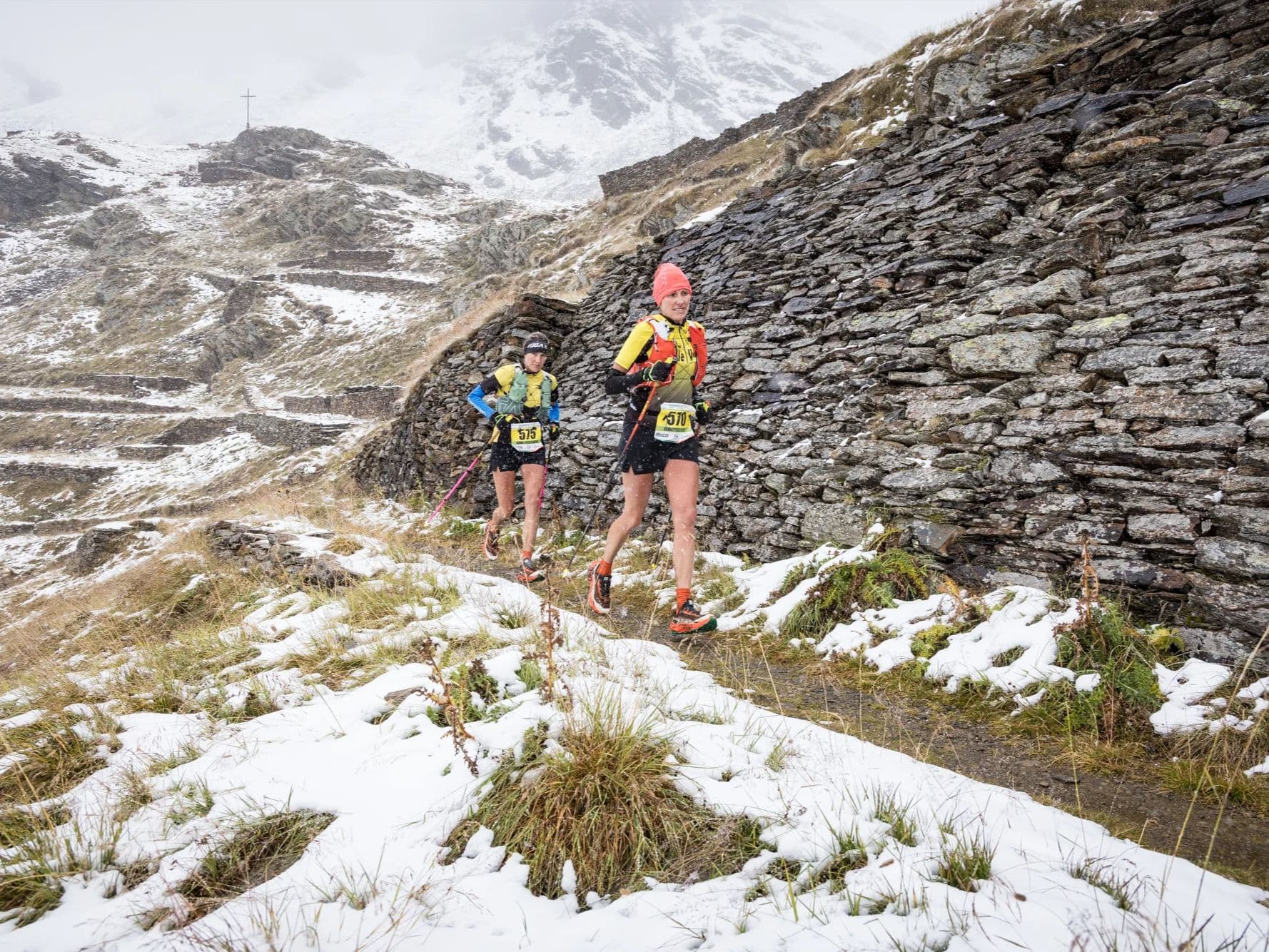
Q: What happened at the 2025 Z101? A: The 2025 edition was cancelled mid-race at the Friesenberghaus hut (approximately km 35–40) due to deteriorating snow and weather conditions. The Schönbichler Horn summit (3,123m) had already been rerouted before the start due to snow. The race was delayed one hour due to torrential rain at the start. Mountain rescue coordination was efficient; all runners descended safely. Weather cancellation risk is real at this altitude in early September — the mandatory cold weather kit requirement reflects it.
Race files
Logistics
Nearest airport
Innsbruck (INN) / Munich (MUC)
Notes
Start: INN ~1 hr; MUC ~2–2.5 hrs / Public transport: Good (train into Zillertal + local) / Accommodation: Good but fills early (popular valley)