Finland · Kuusamo
Distance
83 km
Date
Entry fee
—
€ / km
—
NUTS Karhunkierros 83km — Running Finland’s Largest Trail Race from the Arctic Circle to Ruka
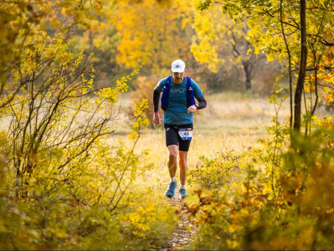
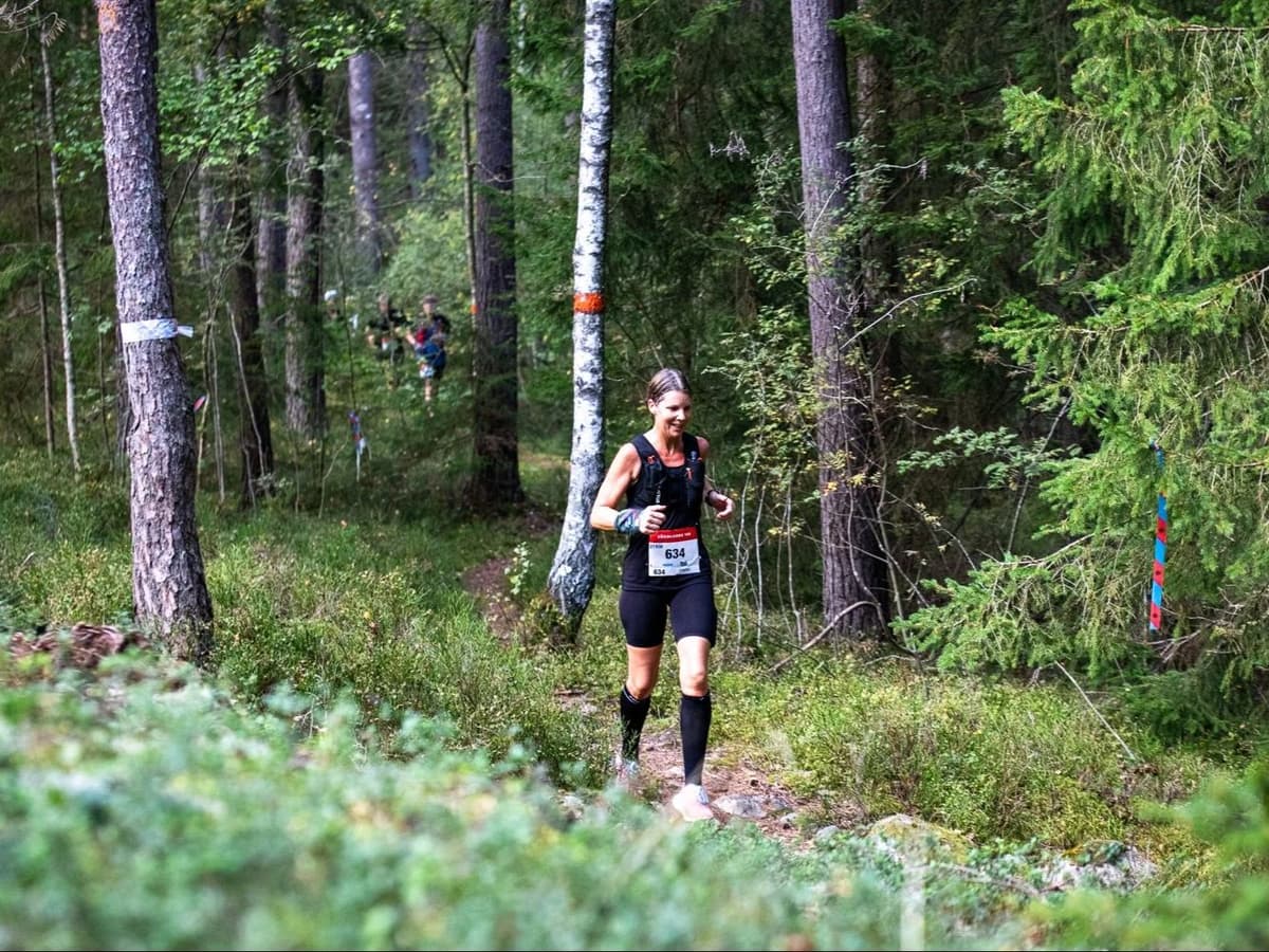
Finland’s largest trail running event starts at the Arctic Circle — at Napapiiri, where the 83 km race fires at 22:00 in late May. At 66°N, darkness barely applies: you’ll cover the legendary Karhunkierros (Bear’s Trail) through Oulanka National Park in near-perpetual twilight, past river gorges, suspension bridges, and boreal pine forest from Hautajärvi all the way to the ski village of Ruka. Elevation is gentle by ultra standards — 1,890 m of gain across 83 km (22.8 m/km official) — ranking this among the least vertical courses in the database.
The course follows Finland’s most iconic long-distance hiking trail, well-marked and largely runnable, with wave starts and cutoffs at Oulanka (5h, 27.6 km) and Konttainen (15h, 77.1 km) before the 18-hour finish limit. Running since 2013, NUTS Karhunkierros drew 544 starters in the 83 km for 2026, with 436 finishers. ITRA certified. Entry is €194.90 (2.35 €/km). Kuusamo Airport (KAO) is 28 minutes from Ruka, but international connections are limited — most runners connect via Helsinki. A sauna and hot soup await at the finish.
Elevation and Terrain
Total Meters
1,304m
D+/KM
15.7m/km
For context, the Tor des Géants 330 loop has 73 D+/km.
Avg Uphill Gradient
8.1%
Avg Downhill Gradient
-7.5%
Uphill gradient distribution
| 2–5% | 10.7 km | |
|---|---|---|
| 5–10% | 6.9 km | |
| 10–15% | 2.8 km | |
| 15–20% | 1.1 km | |
| 20%+ | 1.9 km |
Route Profile
AnalysedTerrain breakdown
| 27.7% | Uphill |
|---|---|
| 44.2% | Flat |
| 28.0% | Downhill |
Terrain
NUTS Karhunkierros – 83 km 83km Top Climbs
Top Climbs
| 1 | 7.7 km · 148 m gain starts km 61 · avg 1.9% · max 37.8% |
|---|---|
| 2 | 0.9 km · 121 m gain starts km 83 · avg 13.9% · max 36.9% |
| 3 | 4.1 km · 120 m gain starts km 37 · avg 3.0% · max 18.8% |
Top descents
| 1 | 1.2 km · 136 m drop starts km 81 · avg -11.6% · max -44.8% |
|---|---|
| 2 | 3.7 km · 131 m drop starts km 44 · avg -3.6% · max -23.4% |
| 3 | 1.3 km · 111 m drop starts km 76 · avg -9.0% · max -18.6% |
Route Overview: From Napapiiri (Arctic Circle) to Ruka Through Oulanka National Park
What time does the NUTS Karhunkierros 83km start?
▼
22:00 on May 22, 2026, from Napapiiri (the Arctic Circle marker) near Hautajärvi. At 66°N in late May, darkness barely applies — you will run through near-perpetual twilight rather than true night. A headlamp is mandatory by race rules but functionally sees minimal use.
Elevation Profile: How Challenging Is the NUTS Karhunkierros 83km?
Elevation Profile: How Challenging Is the NUTS Karhunkierros 83km?▼
1,890m of D+ over 83km (22.77m/km official), ranking among the least vertical races in the database (rank 343/390 for climbing density). The course follows the Karhunkierros hiking trail — largely flat, runnable boreal forest terrain with river gorges and suspension bridges.
Night Start at the Arctic Circle: What to Expect at 22:00 in Late May
How do I get to the Hautajärvi start of the NUTS Karhunkierros 83km?
▼
Kuusamo Airport (KAO) is approximately 28 minutes from Ruka (the finish), but international connections are limited and most runners fly via Helsinki. A race bus from Ruka to the Hautajärvi start costs €21 (booked before May 12) or €32 after. Drop bags for the Oulanka Visitor Centre must be submitted before 20:00 on race eve.
Logistics: Getting to Kuusamo and the Hautajärvi Start Line
What are the cutoff times for the NUTS Karhunkierros 83km?
▼
Oulanka aid station (27.6km): 5 hours from start. Konttainen (77.1km): 15 hours from start. Overall cutoff: 18 hours from start, meaning a finish by approximately 16:00 on May 23. Drop bags are available at the Oulanka Visitor Centre.
Entry, Pricing, and Registration for NUTS Karhunkierros 83km
Is the NUTS Karhunkierros 83km an ITRA or UTMB qualifier?
▼
Yes to ITRA — the race is ITRA certified (itra.run/Races/RaceDetails/89922). UTMB qualifying status is not confirmed; the race is not listed as part of the UTMB World Series.
NUTS Karhunkierros – 83 km 83km GPX
Getting to NUTS Karhunkierros – 83 km
Nearest airport
Kuusamo (KAO) / Oulu (OUL)
Notes
Start: ~30–60 min from KAO; ~2.5–3.5 hrs from OUL / Public transport: Limited; car strongly recommended / Accommodation: Limited in peak season; book early
FAR
It’ll possibly take 3+ hours from the closest large airport to arrive. Plan your adventure accordingly, take an extra day for those after-race beers or Curranz.