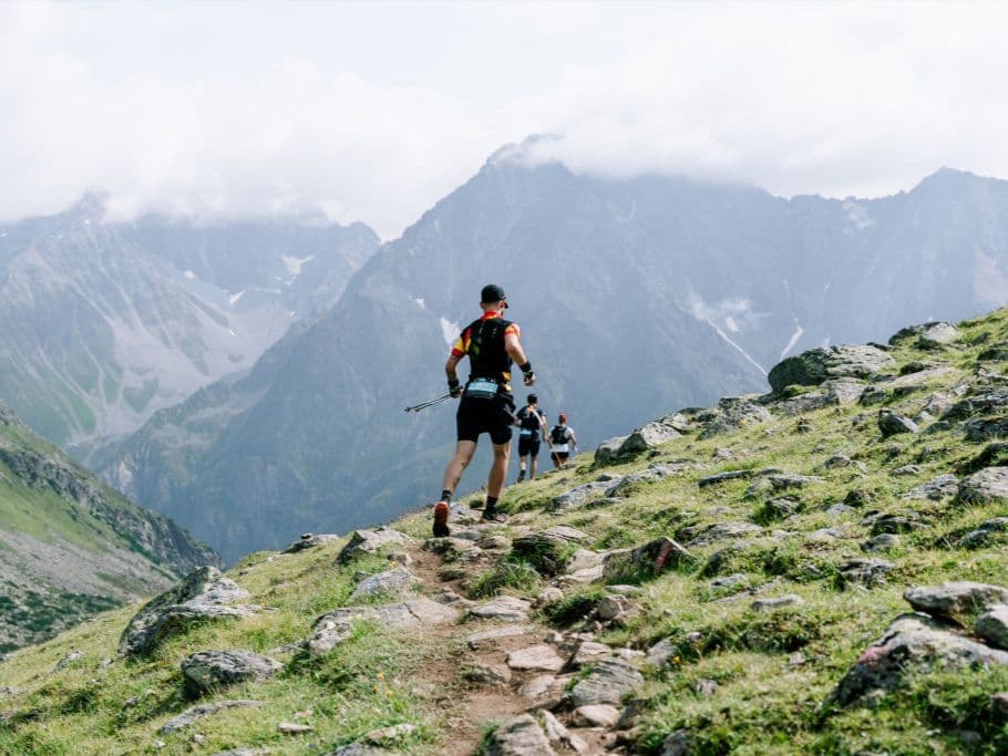
Salomon Pitz Alpine Glacier Trail P45 Rifflsee Trail es un maratón de montaña de 43 km con base en Mandarfen, en lo profundo del valle de Pitztal, Tirol, Austria. Con salida a las 07:00 desde Mandarfen, el circuito asciende dos veces al Rifflsee —el lago de montaña más alto de Austria— y pasa por el refugio Taschachhaus, con panorámicas de los glaciares, antes de bajar por el sendero Zirbensteig. El desnivel oficial es de 2.100 m D+. La pendiente media de subida ocupa el 7.º puesto entre 390 ultras europeas (puesto 1 = más empinada; solo 6 carreras suben de media con mayor pendiente), mientras que la pendiente media de bajada ocupa el puesto 385 en la escala de suavidad, lo que significa que solo 5 carreras exigen descensos medios más fuertes.
La P45 Rifflsee Trail se sitúa en el extremo del espectro de pendientes tanto en subida como en bajada, pese a un D+/km relativamente intermedio de 48,8 m/km. Es clasificatoria UTMB Index 50K, otorga 2 puntos ITRA y tiene Mountain Level 7. Salomon es patrocinador principal. Se exige material obligatorio. Se agota todos los años desde 2018; capacidad de 1.613 corredores. El aeropuerto de Innsbruck (INN) está a 82 minutos en coche de Mandarfen. La inscripción costó 115 € (2,67 €/km). 14.ª edición en 2026; primera edición en 2013.