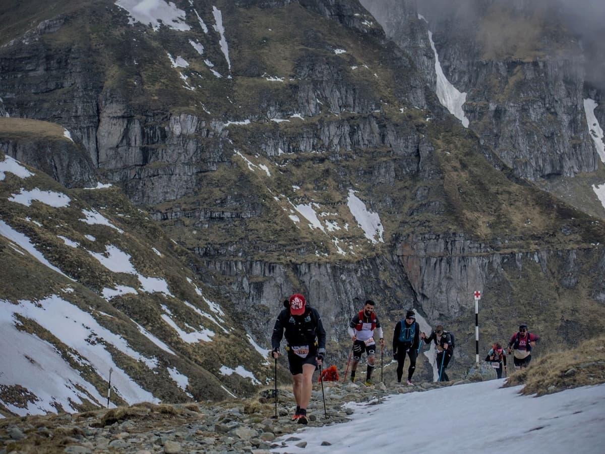
Pitz Alpine Glacier Trail P90 – Pitztal Glacier Ultra es la gran ultra glaciar de Austria: 87 km y 5.200 m D+ desde Mandarfen, en el valle de Pitztal, ascendiendo hasta el collado Mittagskogel-Scharte a 3.070 m y cruzando el glaciar Mittelbergferner. Los pinchos para glaciar son material obligatorio, algo poco habitual en las carreras de trail europeas. La pendiente media de subida ocupa el 3.er puesto entre 390 carreras europeas y la pendiente media de bajada el 390 de 390, es decir, la bajada media más empinada de toda la base de datos.
Es extrema en ambas direcciones: crestas afiladas, glaciares, neveros y terreno técnico que exige seguridad de pies y buena tolerancia a la exposición. Es carrera UTMB Index, otorga 4 puntos ITRA y tiene Mountain Level 9. Forma parte del Salomon Pitz Alpine Glacier Trail, una de las ocho sedes de las Golden Trail World Series (GTWS). Salida nocturna a las 23:00 del viernes 31 de julio de 2026; carrera el sábado 1 de agosto. La edición de 2026 está agotada. 14.ª edición en 2026. Inscripción: 215 € (2,47 €/km). Aeropuerto de Innsbruck (INN) a 1,5 h; Múnich (MUC) a 3,5 h. El alojamiento en la parte alta de Pitztal es limitado, por lo que conviene reservar pronto. Capacidad: 1.601 corredores.